Urban development trend analysis for smarter planning

Urban trend analysis is far more than a demographic exercise. When planners and real estate decision-makers treat it as a simple population forecast, they risk building strategies on incomplete evidence. The reality is that urban development trend analysis weaves together land use change, infrastructure capacity, economic investment patterns, environmental pressure, and mobility shifts into a coherent picture of where a city is heading. Mastering this process, particularly with advanced 3D tools, gives professionals the kind of forward-looking clarity that separates strong planning decisions from costly miscalculations.
Key Takeaways
| Point | Details |
|---|---|
| Beyond population growth | Urban development trend analysis examines multiple change signals to drive better evidence-based decisions. |
| Mix of methods | A structured pipeline and integrated assessment ensure analyses are robust and uncertainty-aware. |
| Why 3D matters | Moving from 2D to 3D analysis enables richer, scenario-driven modelling and avoids misleading results. |
| Digital twins’ impact | Digital twins support real-time, multi-layered trend analysis and better strategic testing for planners. |
What is urban development trend analysis?
Urban development trend analysis is the systematic process of identifying, measuring, and interpreting change signals across a city or region to guide planning and investment decisions. It goes well beyond counting residents. Planners use it to understand how a city is evolving in terms of land use conversion, building density, infrastructure demand, economic activity, and sustainability performance.
According to the UN methodology update for its “Degree of Urbanisation” framework, urban development trend analysis is the practice of converting city and region change signals into evidence-based forecasts, scenarios, and priorities. That definition is precise for a reason: the word “signals” matters. Not all data is equally informative, and not all trends point in the same direction at the same time.
The key signals that professionals monitor include:
- Land use change: conversions between residential, commercial, industrial, and green space
- Density patterns: both horizontal sprawl and vertical densification in built-up areas
- Mobility and accessibility: transport corridor development, modal shift, and commuter flow
- Sustainability indicators: energy consumption, green cover, flood risk, and carbon intensity
- Investment flows: real estate transaction volumes, development approvals, and public funding allocation
What makes this process genuinely strategic is the ability to link these signals together. A spike in commercial investment in a particular district rarely stands alone. It often correlates with planned transport upgrades, rezoning decisions, or shifts in demographic composition. Building an efficient urban development workflow means ensuring that these signals are collected, connected, and interpreted within a consistent analytical framework.
“The most effective urban trend analyses do not simply report change; they explain the mechanisms behind it and translate those mechanisms into actionable planning priorities.”
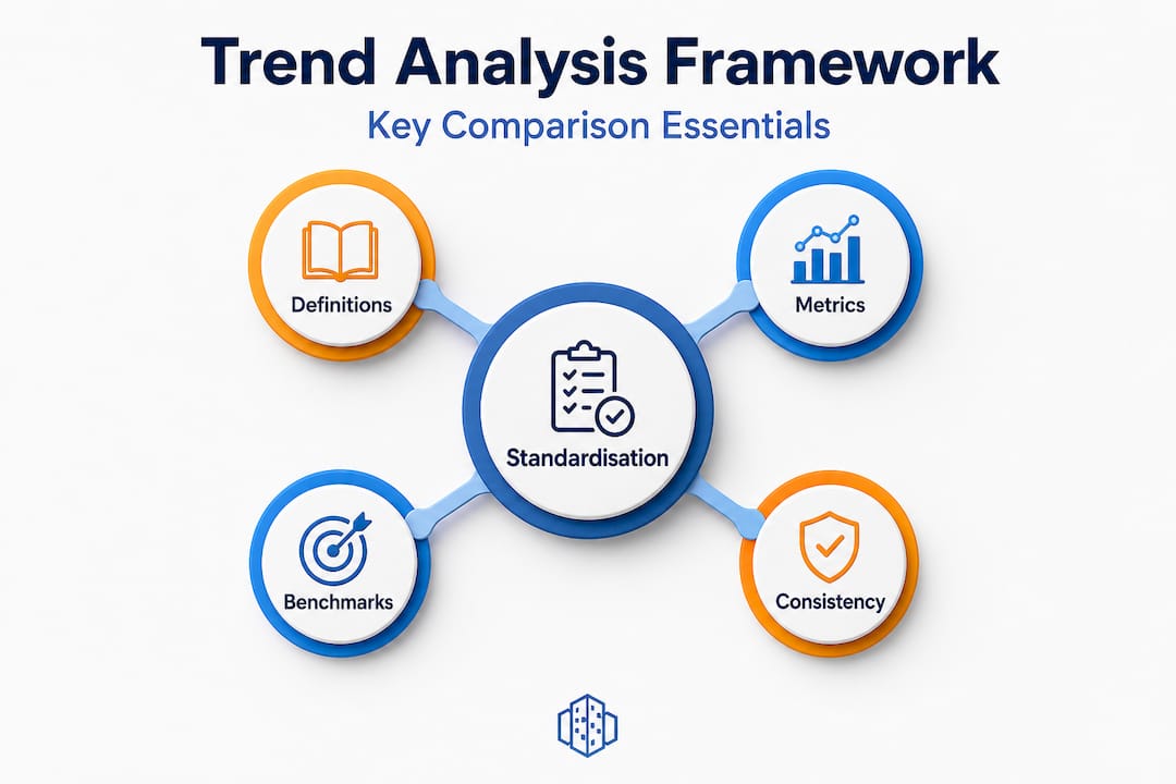
For cross-city comparison to work at all, standardised frameworks are essential. Without consistent definitions of what counts as “urban,” “dense,” or “mixed use,” comparisons between cities in different countries or regions become unreliable at best and actively misleading at worst.
Core frameworks and methods used
Once you understand what urban development trend analysis measures, the next question is how to structure the analytical process reliably. Most professional analyses follow an evidence pipeline that moves through four key stages:
- Define the scope and indicators: Identify what change signals are most relevant to the specific planning question or investment decision at hand.
- Collect and validate data: Gather spatial data (GIS layers, remote sensing), socio-economic datasets, and administrative records. Validate for completeness and temporal consistency.
- Model and simulate: Apply quantitative models to reveal patterns, project future scenarios, and test the sensitivity of outcomes to different assumptions.
- Interpret and prioritise: Translate analytical outputs into planning recommendations, risk assessments, and strategic priorities.
A systematic literature review on urban sustainability assessment found that many urban trend analyses follow precisely this kind of evidence pipeline and draw on a combination of tools including system dynamics and conceptual modelling, multi-criteria analysis, and structured risk and uncertainty analysis. This is not a linear process in practice. Analysts frequently loop back to redefine indicators when early data collection reveals gaps.
Method types can be grouped into three broad categories:
| Method category | Primary use | Typical tools |
|---|---|---|
| Indicator-based | Benchmarking and monitoring | GIS dashboards, index frameworks |
| Product-related | Scenario and impact assessment | Land use models, traffic simulations |
| Integrated assessment | Cross-sector strategy evaluation | Multi-criteria analysis, system dynamics |
Risk and uncertainty handling deserves particular attention. No forecast is certain, and professional analysts explicitly quantify the confidence range around their projections. This is especially important when presenting findings to decision-makers who may otherwise treat a single projected number as a guaranteed outcome.
Pro Tip: Always distinguish between the quality of your data inputs and the confidence level of your analytical outputs. High-quality data with a conservative model still produces projections with uncertainty. Communicating that distinction clearly builds trust with stakeholders and prevents overconfident decision-making. You can strengthen your evidence base significantly by learning how building 3D city models can enrich the spatial data layer of your analysis.
Empirical approaches: from 2D patterns to 3D future models
Traditional urban analysis began with two-dimensional pattern analysis. Researchers and planners would examine satellite imagery and land use maps to measure how cities expanded outward over time, tracking sprawl, compactness ratios, and land fragmentation. These methods remain valuable, but they capture only part of the picture.
Key empirical metrics used in 2D pattern analysis include:
- Sprawl indices: measuring how dispersed or clustered urban land is relative to a centre
- Compactness ratios: comparing the built-up footprint against the theoretical minimum for the same population
- Shannon entropy: quantifying the distribution and mixing of land uses across a city’s extent
The spatiotemporal urban expansion literature demonstrates that for land use and land cover trend work, empirical methods now include spatiotemporal classification, intensity and compactness metrics, and cellular automata land-change models. The Urban Expansion Intensity Index (UEII), for example, calculates the rate at which new urban land is added per unit of existing urban area over a defined period. It is a straightforward metric, but it surfaces meaningful differences between cities growing through infill versus cities consuming greenfield land.
CA-Markov models combine cellular automata with Markov chain probability to simulate where land use change is most likely to occur in the future based on observed historical transitions. Applied to a city with fifteen years of classified satellite data, a CA-Markov model can generate spatially explicit growth scenarios for the next decade. That is genuinely useful for infrastructure sizing, transport planning, and environmental impact assessment.

The shift to volumetric and 3D analysis adds a new dimension. Literally. Floor area ratios, building height distributions, and volumetric density metrics reveal patterns that flat maps cannot. A district may appear compact in 2D but remain underdeveloped in terms of usable floor area. Conversely, a district with a modest footprint may house significant activity across many floors.
Connecting these empirical methods to 3D and 4D infrastructure mapping technologies allows planners to track not just where development is occurring but how much is being built and at what pace. This is the foundation for genuinely forward-looking planning.
3D-aware analysis and the rise of digital twins
The term “3D-aware analysis” refers to analytical approaches that incorporate volumetric city representations rather than treating the urban environment as a flat surface. This shift changes what questions can be asked and answered.
A Frontiers paper on spatial response processes confirms that 3D-aware trend analysis in planning increasingly uses digital twins and 3D city representations to simulate alternative futures. Digital twins in this context are not simply 3D models. They are living simulation environments that synchronise with real-world data feeds to reflect current conditions and project future states.
What specifically distinguishes 3D-aware analysis from conventional methods:
- Volumetric tracking: changes in built volume, not just footprint, are monitored over time
- Multi-level spatial analysis: different floors of the same building can be attributed to different uses, improving accuracy of economic and transport modelling
- Scenario simulation: alternative planning decisions (a new tower, a rezoning, a road closure) can be tested within the digital environment before any physical commitment
- Real-time synchronisation: connected to live data sources, digital twins update as conditions change
Understanding the principles behind digital twin city planning is essential before attempting to implement this kind of analysis. The technical and organisational requirements are significant.
The most common integration challenges are well-documented. Research on digital-twin methodology identifies data fusion, interoperability, and keeping models synchronised with reality as the three primary obstacles. Data fusion refers to the challenge of combining datasets with different formats, coordinate systems, and temporal resolutions into a coherent model. Interoperability concerns the ability of different software platforms and institutional databases to communicate. Synchronisation is arguably the most persistent challenge: as the physical city changes, the digital twin must update, and that process requires both technical infrastructure and organisational commitment.
Pro Tip: Before deploying a digital twin for trend analysis, run parallel tests on historical data. Feed the model conditions from five years ago and assess whether its outputs would have matched what actually happened. This validation step is often skipped, but it is the most reliable way to build confidence in the model’s predictive behaviour. Explore how urban digital twins enhance planning at the city scale for practical guidance on implementation.
Expert nuances and the limits of comparability
Advanced practitioners know that some of the most important decisions in trend analysis happen before any data is collected. How you define the phenomena you are measuring determines what your analysis will find.
“A trend is only as reliable as the consistency of its measurement. Change the definition, and you may change the conclusion.”
The relationship between vertical and horizontal growth is a prime example. Research published in ScienceDirect shows that vertical densification versus horizontal sprawl can swap in relative importance over time, and that volumetric trends can materially change planning interpretations. A district recorded as stable in 2D land use data may be undergoing rapid intensification in 3D terms as existing buildings add floors. That is a very different planning challenge from greenfield expansion, yet 2D analysis would not distinguish between them.
Cross-city or cross-region comparisons carry their own risks. Consider the following pitfalls:
- Definitional inconsistency: one city may count a suburb as urban, another may not
- Boundary effects: urban growth near a city boundary may be measured differently depending on administrative definitions
- Temporal misalignment: comparing cities using datasets collected in different years introduces noise
- Scale sensitivity: an index calculated at the neighbourhood level may not aggregate reliably to the city level
The UN’s standardised measurement approaches are specifically designed to reduce comparability problems across cities and countries. The “Degree of Urbanisation” methodology establishes consistent rules for classifying urban and rural areas based on population grid data, making international comparison far more reliable than relying on each country’s own administrative definitions.
For professionals working across multiple projects or regions, ensuring workflow consistency in 3D planning is not just an operational preference. It is a requirement for results that can be trusted, compared, and built upon over time.
Why smart trend analysis means challenging your assumptions
Here is an uncomfortable truth about urban trend analysis: the greatest risk is not a lack of data. It is the unexamined assumptions embedded in the measurement choices made at the outset.
Most planning teams inherit analytical frameworks from previous projects. They use the same indicators, the same spatial boundaries, and the same model types because that is what has always worked. But cities do not stay the same, and the questions that matter most in 2026 are not always the same questions that mattered ten years ago. Climate resilience, social equity, and digital infrastructure are now central planning concerns that many legacy frameworks were never designed to capture.
3D digital twins represent a genuine opportunity to challenge these inherited biases. When you can visualise a city volumetrically, compare development scenarios in real time, and test assumptions against live data, you start to see the gaps in conventional 2D analysis far more clearly. That visibility is not comfortable, but it is valuable.
A systematic review on urban sustainability frameworks reinforces this point: the most robust analytical frameworks do not simply forecast, they are structured around the explicit comparison of alternatives, including the uncertainty and risk associated with each. That is the professional mindset worth cultivating. Uncertainty is not a problem to be hidden in an appendix. It is a core part of the evidence.
The planners and developers who get the most from trend analysis are those who use it to question their current strategy, not just confirm it. Explore the application of this mindset through a digital twin urban strategy approach that treats the model as a thinking tool, not just a visualisation.
Supercharge your planning with advanced 3D trend tools
Applying the frameworks and methods discussed in this article requires more than theoretical knowledge. It requires tools built specifically for urban professionals who need to analyse, simulate, and communicate complex spatial trends with speed and precision.
The 3D Cityplanner platform brings together the capabilities that urban development professionals need in a single environment. From automated building generation and volumetric density analysis to sightline visualisation, sound impact simulation, and 4D timeline planning, it is designed to support every stage of the trend analysis workflow. You can import existing 3D models, access a global infrastructure database, and run scenario comparisons within the same platform. A trial period is available without prior payment commitment, so your team can evaluate the tools against real project data before making any decision.
Frequently asked questions
What data types are most valuable in urban development trend analysis?
The most valuable data types include spatial data on land use, density, transport networks, and socio-economic indicators, as urban trend analysis converts these signals into evidence-based priorities. Combining GIS layers with administrative records and real-time sensors produces the most reliable analytical foundation.
How do digital twins enhance trend analysis?
Digital twins enable real-time, 3D-aware simulations to test planning scenarios and development strategies with far greater accuracy than static models. As 3D-aware analysis uses digital twin representations to simulate alternative futures, they allow planners to evaluate outcomes before committing resources.
Why is standardisation important for cross-city trend comparison?
Standardised definitions and measurement approaches prevent misinterpretation and allow fair comparisons of urban trends across different regions and countries. The UN’s Degree of Urbanisation methodology specifically addresses this by establishing consistent classification rules.
What are key pitfalls in using volumetric (3D) versus 2D trend analysis?
Volumetric measurements surface trends that 2D analysis misses entirely, but they also introduce new comparability challenges when definitions are not consistently applied. Research confirms that when 3D growth is measured, conclusions can differ significantly from area-only 2D studies, making definitional rigour essential.
Recommended
- 6 Top Urban Design Strategies for Modern Planners – 3D Urban Development
- Urban Development Workflow for Efficient 3D Planning – 3D Urban Development
- Real-time data in urban planning: 34% efficiency gains – 3D Urban Development
- Urban project optimisation with advanced 3D tools in 2026 – 3D Urban Development