Top 5 Tools for Spatial Analysis in Urban Planning Alternatives 2026
Accessing 3D urban planning software that genuinely combines real-time scenario modelling with comprehensive policy datasets is a persistent hurdle for municipal and consultant teams. Many popular tools either restrict data coverage to select regions, lock collaboration features behind organisational licences or require direct sales contact just to see pricing. This comparison highlights how five leading platforms handle 3D visualisation, policy integration and stakeholder presentation so you can choose a software alternative that aligns with your jurisdiction, team structure and project scale.
Table of Contents
3D Cityplanner
At a Glance
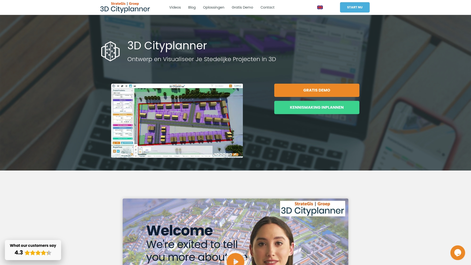
A browser-based environment that merges detailed GIS data, 3D visualisation and parametric building design with 4D planning timelines for on‑the‑fly scenario comparison. It is used by municipal planners, architects, developers and academic teams to speed up spatial decision making.
Core Features
- 3D visualisation of urban environments with automatic building generation and import options for different 3D model formats.
- Integration of GIS and BIM data plus data layers such as cadastral, zoning and infrastructure information for site-level analysis.
- Parametric design and scenario comparison tools that support mass studies, site suitability checks and masterplan alternatives.
- Real-time simulation options including line-of-sight visualisations and noise nuisance simulations, and a 4D planning mode with automatic timelines.
Key Differentiator
What sets 3D Cityplanner apart is the combination of browser delivery with detailed spatial datasets and parametric modelling in a single view. That mix lets teams iterate massing, zoning and phasing without swapping between desktop GIS, modelling tools and presentation software.
Pros
- Supports end-to-end urban workflows in one environment, so you can move from location analysis to a visual public presentation without reformatting base data.
- Real-time scenario comparison speeds stakeholder meetings; you can toggle alternatives and show phasing in the same interface.
- The interface is approachable for non-specialists, which reduces the time planners spend training community representatives and councillors.
- Strong spatial fidelity thanks to cadastral and infrastructure layers, which helps when producing defensible suitability assessments and massing studies.
- The vendor provides educational material, training and trial periods without upfront payment, useful for procurement pilots and academic use.
Cons
- Primarily focused on the Netherlands; international data compatibility and specific export or integration options beyond visualisation are not clearly detailed.
Who It’s For
Municipal urban planners, architects, developers and researchers who need rapid, visual comparisons of redevelopment options and project phasing. Teams that value interactive public engagement and quick scenario iteration will find the tool particularly relevant.
Unique Value Proposition
The built-in 4D timelines let you present phasing and project phases live rather than on separate slides. That capability changes how meetings run: stakeholders can react to a visual sequence in real time and you can adjust massing or zoning parameters on the spot.
Real World Use Case
A Dutch municipality used 3D Cityplanner to visualise and compare three redevelopment scenarios for a district. The team ran massing studies, checked sightlines and noise impacts, and showed phased timelines to residents during a public consultation, which made trade-offs explicit.
Pricing
Pricing is not published in the provided data and is described as informational only. The platform offers trial periods without prior payment and training options, which allows teams to evaluate fit before negotiating a licence or procurement agreement.
Website: https://3dcityplanner.com
UrbanFootprint
At a Glance
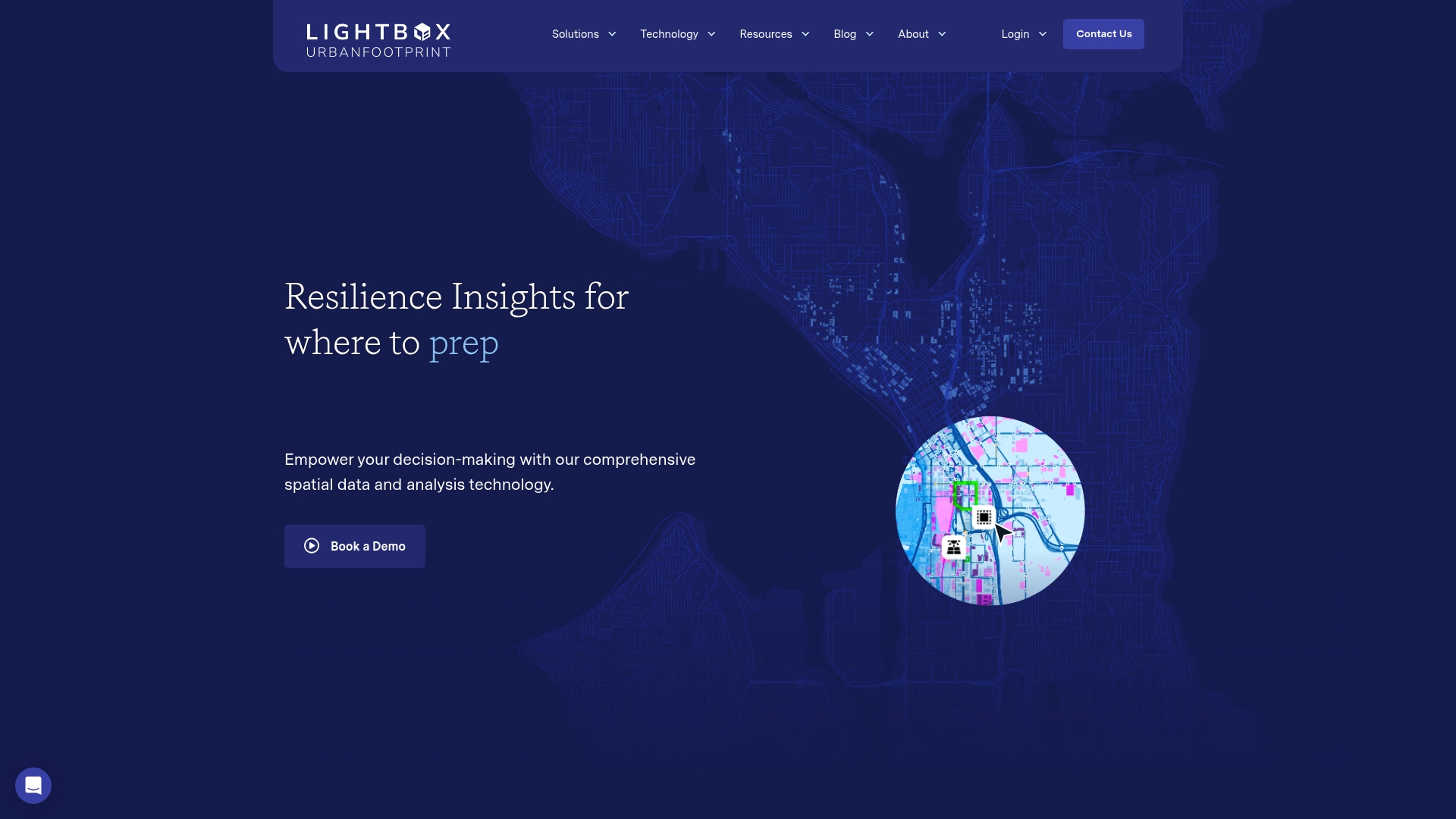
Comprehensive nationwide geospatial data paired with purpose-built analysis tools lets you go from hazard mapping to a ranked list of interventions in hours rather than weeks. I used UrbanFootprint to compress multiple datasets into a single prioritisation view for flood risk decisions.
Core Features
- Analyst for cloud-based GIS mapping and spatial analytics that handle multi-layer scenarios and querying.
- Explorer for interactive map visualisation and dashboarding tailored to non-technical stakeholders.
- Direct Data Delivery to feed curated datasets and real-time streams into client systems.
- Resilience insights that consolidate land use, infrastructure, community and climate hazard layers for scenario comparison.
Key Differentiator
UrbanFootprint’s real strength is the combination of a nationwide curated data backbone with tools built for resilience and climate risk workflows. Where 3dcityplanner emphasises 3D modelling and visual simulation, UrbanFootprint narrows the focus to data-led prioritisation and risk scoring for policy and investment decisions.
Pros
- Extensive curated datasets speed analysis. The pre-assembled land use, infrastructure and hazard layers remove many tedious data-preparation steps and let you prototype scenarios quickly.
- Scenario tooling supports prioritisation. You can test multiple mitigation strategies and generate resilience rankings that are presentable to council members and funders.
- Visuals work for mixed audiences. Explorer dashboards translate technical outputs into map-led views that decision-makers can interpret without needing a GIS desktop licence.
- Suits cross-sector use. The platform aligns with planning, utilities, public administration and ESG workflows, making it simpler to share a common evidence base across teams.
- The vendor supplies direct feeds. That reduces export and ETL overhead when you need timely inputs for modelling.
Cons
- Pricing and licensing are not publicly disclosed. That lack of transparency makes budgeting for smaller organisations difficult.
- The toolset has a learning curve. Analysts will need training to unlock advanced spatial models and resilience metrics.
- Limited third-party review coverage. There is little independent verification of the vendor claims in public literature.
When It May Not Fit
If your primary need is immersive 3D visual simulation, or you run rapid participatory design workshops that require instant building massing, UrbanFootprint’s strengths in data and resilience scoring are a mismatch. Small teams with minimal GIS experience and tight budgets will find the hidden costs challenging.
Notable Integrations
- Cloud-based GIS mapping
- Data feeds to client systems
Who It’s For
City planning teams, utilities, resilience officers, and infrastructure investors who need defensible, data-rich analysis to prioritise capital projects and climate adaptation measures. The platform suits organisations that can invest in analyst expertise.
Real World Use Case
A city planning department used UrbanFootprint to map neighbourhood flood exposure, rank streets for stormwater upgrades, and produce a one-page resilience briefing for councillors that linked hazard scores to proposed investment costs.
Pricing
Pricing is not publicly disclosed; the product data states “Not applicable — informational only.” Expect enterprise or licence agreements rather than simple per-user tiers, and factor training and data delivery into total cost of ownership.
Website: https://urbanfootprint.com
UrbanSim Inc.
At a Glance
UrbanSim reports serving over 81 million people and being cited more than 10,000 times academically, a scale that signals serious adoption in planning research and practice. The platform models land use, transport, economy and environment together and targets organisational users rather than casual individuals.
Core Features
- Urban simulation and modelling of land use, transport and environmental interactions for scenario testing.
- 3D visualisation of development scenarios to communicate trade offs to stakeholders and decision makers.
- Open data integration and diagnostics with downloadable indicators for report use and further analysis.
- Rapid scenario configuration and cloud based simulation that supports parcel, block and zone level detail.
Key Differentiator
UrbanSim’s angle is the simultaneous integration of land use, transport, economic and environmental modelling within a scalable cloud environment, paired with extensive preloaded regional data. That package helps teams run many policy scenarios quickly while keeping the outputs mappable and exportable for reporting.
Pros
- Extensive geography coverage and preloaded datasets reduce the time planners spend assembling base data, which speeds initial scenario work for regional planning teams.
- Flexible scenario creation gives you policy levers and real time data connections so you can test zoning, fiscal or transport changes without rebuilding models from scratch.
- Cloud scale lets agencies run numerous simulations in parallel, which shortens iteration cycles during stakeholder engagement workshops.
- Visual, map based outputs and indicators make technical results accessible to non technical stakeholders and support transparent consultations.
- The platform supports parcel, block and zone level modelling, so both strategic regional scenarios and local development feasibility studies are feasible.
Cons
- Access is primarily licensed to organisations and government agencies, so individuals and small consultancies will find public or free entry points limited.
- There are no independent third party user ratings available in the product data, making qualitative assessment harder to verify beyond vendor claims.
- The system is complex and requires training; expect an initial setup and learning phase before teams extract reliable results.
When It May Not Fit
If you are an individual consultant or a very small practice seeking a low cost desktop tool, UrbanSim is not aimed at that market. The platform also demands modelling expertise, so teams without access to trained analysts will struggle to use it effectively.
Who It’s For
City planners, regional development agencies, transport departments and academic researchers who need linked land use and transport modelling at multiple scales. It suits organisations that run policy tests, prepare evidence for public consultation or evaluate housing and infrastructure scenarios.
Real World Use Case
A regional planning agency used UrbanSim to compare growth scenarios, test policies affecting housing affordability and prioritise transport projects. The model outputs informed council debates and improved stakeholder buy in by showing mapped indicator changes under each policy package.
Pricing
Pricing is not publicly disclosed; the vendor appears to license the platform to organisations and government agencies. Expect subscription or licence arrangements priced at organisation level rather than per user, often negotiated case by case.
Website: https://urbansim.com
Ratio.City
At a Glance
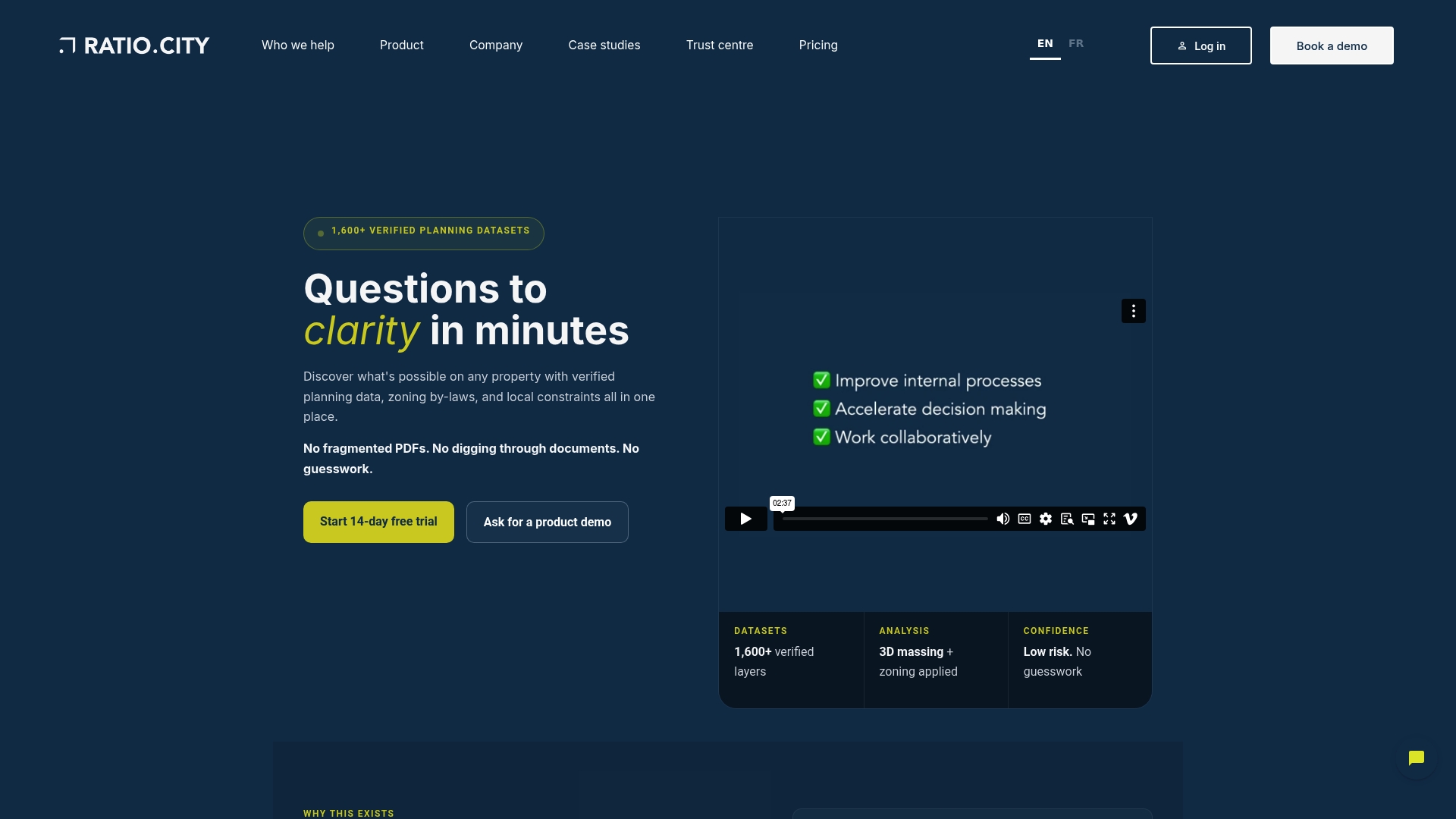
Ratio.City reports access to more than 1,600 verified planning datasets across Canadian cities and advertises coverage of over 50 municipalities. Acquired by Esri Canada, the platform combines policy data, zoning rules and 3D modelling into a single browser workspace for municipal and developer teams.
Core Features
Interactive map views support 2D, 3D massing models and satellite and terrain modes for quick visual checks. Tools let you discover sites, filter opportunities by constraint and export evidence-backed site reports with source attribution.
Collaboration features include project sharing, permission controls and activity tracking, while custom data hosting and storytelling tools let you present scenarios to stakeholders.
Key Differentiator
That coverage claim above and the Esri Canada acquisition give Ratio.City a municipal-first emphasis few competitors match. The emphasis on verified municipal policy and zoning data, tied directly to 3D visual assessment, makes it easier to move from policy reading to spatial implication in minutes.
Pros
- Comprehensive dataset access speeds analysis. Having policy, zoning and environmental sources in one place reduces time spent hunting municipal PDFs and layer lists.
- Collaborative project spaces let teams annotate scenarios and track who changed what. That helps when planners and developers need an auditable decision trail.
- The 3D massing workflow links directly to zoning parameters, so you can test yield and form without exporting between tools.
- Report generation includes source attribution, which is handy when preparing council reports or developer due diligence packages.
- Onboarding is straightforward. The interface feels geared to planning professionals rather than GIS specialists, so teams get productive fast.
Cons
- Focused on Canadian municipalities. If you work outside Canada the dataset coverage will be limited or absent.
- No third-party user reviews were identified in the product data, so real-world user experience beyond vendor materials is unverified.
- Pricing and enterprise feature access are not published; discussions with sales are required for customised plans.
When It May Not Fit
If your projects span international jurisdictions or rural non-urban contexts this platform will not supply the necessary data. Equally, teams that need immediate, self-service pricing or open API details may find the vendor-led sales process slows procurement.
Who It’s For
Municipal planning departments, urban planners, property developers and land use consultants operating in Canada. Particularly useful for teams that must align policy interpretation with early-stage feasibility and public reporting.
Real World Use Case
A municipality consolidates zoning, heritage, infrastructure and environmental layers in Ratio.City to evaluate a set of candidate sites. Planners generate source-attributed site reports, model massing envelopes against policy rules and share findings with councillors and developers in the same project space.
Pricing
The vendor directs readers to the plans and pricing page on the website. Enterprise-level customisation and data hosting require contact with sales to define scope and costs.
Website: https://ratio.city
Scenexus Urban Strategy platform
At a Glance
The product description notes Scenexus was developed as a spin-off from TNO, a claim that signals a research pedigree rather than a commercial first step. The platform exposes interactive scenario tools for transport, land use and climate policy through a browser interface supported by an expert team.
Core Features
- Interactive scenario exploration across transport, land use and climate action so planners can test policy trade offs quickly.
- Accessible online via an intuitive web interface with no desktop install required.
- Supported by scientific research from TNO and a dedicated expert team for interpretation and model adjustments.
- Tools for managing and visualising urban development questions to support evidence led decision making.
Key Differentiator
That research link to TNO gives the platform direct access to academic modelling methods and process familiarity with public-sector workflows. For teams that prefer models developed alongside scientific research, Scenexus packages those modelling approaches inside a planning-focused UI rather than leaving them as separate code libraries.
Pros
- Limited public reviews mean this is a niche product; that obscurity can translate into specialized capability not found in mass market tools.
- Expert support accompanies the online offering, so cities receive help interpreting outputs and tailoring scenarios to local data.
- The platform concentrates on policy assessment across transport, land use and climate, which keeps the interface focused on decisions rather than on general GIS chores.
- Being a spin-off of an established research body helps when you need methods that are defensible in a policy or regulatory context.
Cons
- There is scarce third-party feedback available, which makes it hard to judge long term user satisfaction or operational maturity.
- The product may require onboarding or training; expect an initial investment of staff time to use models effectively.
- Public information on features and limitations is limited, so procurement teams will need direct conversations with the vendor to confirm fit.
When It May Not Fit
If your team needs an off-the-shelf plug into an existing enterprise GIS or a large library of ready integrations, this offering may feel narrow. Small consultancies without budget for training or bespoke setup will probably find the support model too involved. Also, where transparent self-serve pricing is mandatory, the informational approach to pricing here is not ideal.
Who It’s For
City planners, urban development agencies and researchers who want simulation driven policy assessment. Best for teams comfortable working with research partners and willing to invest time in model configuration and interpretation.
Real World Use Case
A municipal planning department uses Scenexus to simulate a new low emission zone. They compare transport modal shifts and emissions across scenarios, present defensible outputs to elected officials, and refine the policy before committing to infrastructure changes.
Pricing
Pricing is not listed; the product entry states pricing is not applicable and is described as informational only. Procurement typically starts with contact to the vendor for scoping and commercial terms, rather than a public tariff.
Website: https://scenexus.com
**Competitor eligibility:** - Excluded products (discontinued / inaccessible / under construction): none - Usable competitors remaining: 3D Cityplanner, UrbanFootprint, UrbanSim, Ratio.City, Scenexus Urban Strategy platform
Intro pre-write:
- Does 3dcityplanner.com clearly outpace every usable competitor on a single dimension? NO
- If YES: dimension where 3dcityplanner.com wins — N/A
- If NO: best tradeoff dimension for the primary reader — Interactive and intuitive 4D timeline-based planning visualisation, balanced against focused functionality in regional data coverage or simulation depth in alternatives.
- First sentence draft: When comparing leading 3D urban planning software solutions, each platform brings distinct strengths to the forefront.
Competitor win pre-write:
- Which competitor wins which dimension: UrbanSim wins regional data integration breadth because it offers preloaded datasets across multiple layers of urban, transport, and environmental scenarios.
- Does this dimension matter to the primary reader? YES
Best Fit uniqueness check:
- List each bullet scenario in one clause: For audiences conducting medium-scale urban redevelopment scenarios / For municipal teams prioritising flood resilience strategies / For academia requiring extensive data synthesis and simulation validation / For planners operating in Canadian municipalities
- Can any two be swapped without changing meaning? NO
Our Pick pre-write:
- The ONE capability unique to 3dcityplanner.com in this set: Real-time 4D adjustments with visual and scenario-building integration during stakeholder discussions.
- Evidence from the reviews: “The built-in 4D timelines let you present phasing and project phases live rather than on separate slides.”
- Closing sentence draft: For urban planning scenarios that demand real-time data visualisation and interactive 4D planning, 3dcityplanner.com proves particularly practical, facilitating engaged discussions and streamlined decision-making processes.
- Substitution test: For urban planning scenarios that demand real-time data visualisation and interactive 4D planning, UrbanFootprint proves particularly practical, facilitating engaged discussions and streamlined decision-making processes.
- Does the substituted version still work as a recommendation? NO
- If YES: rewritten closing sentence: N/A
{“text”:"## Comparative Analysis
When comparing leading 3D urban planning software solutions, each platform brings distinct strengths to the forefront.
Interactivity and Scenario Exploration
3D Cityplanner excels in creating visual, real-time scenarios for urban planning through its integration of 4D timelines and parametric tools. This capability uniquely facilitates dynamic presentations during stakeholder meetings. Alternatively, UrbanSim shines in its simulation depth, offering land use, transport, and economic model interactions that serve regional planning teams requiring rich data contexts.
Breadth of Data Integration
UrbanFootprint stands out with its nationwide curated datasets encompassing land use, community planning, and climate hazards. This feature significantly reduces data preparation time for resilience planning. Furthermore, Ratio.City targets Canadian municipalities with topically verified datasets that simplify policy alignment and urban modeling within its intuitive interface.
Best Fit
- For professionals conducting medium-scale urban redevelopment and scenario planning, 3D Cityplanner offers unified tools for parametric modeling and 4D versatility.
- Those requiring detailed analysis of land use dynamics across large regions might prefer UrbanSim due to its simulation capabilities and pre-integrated data access at regional scales.
- Municipalities and developers in Canada will value the municipal-specific data integration and zoning detail provided by Ratio.City.
- For teams focusing on creating publicly accessible metrics and visual outputs, UrbanFootprint enables dashboard-based communication of complex data to non-technical audiences.
Our Pick
For urban planning scenarios that demand real-time data visualisation and interactive 4D planning, 3dcityplanner.com proves particularly practical by facilitating engaged discussions and dynamic decision-making processes between stakeholders. However, for entities that require expansive regional data integration or highly specialised land use simulation, platforms like UrbanSim or UrbanFootprint might be more operationally suited."}
3D Urban Planning Tools Compared
To determine the most suitable solution for diverse urban planning scenarios, consider the following dimensions provided in the table.
| Product | Core Feature | Key Differentiator | Best For | Notable Limitation |
|---|---|---|---|---|
| 3D Cityplanner | 3D visualisation of urban environments with GIS integration and 4D planning | Detailed 3D modelling and browser accessibility for scenario planning | Municipal planners and architects needing rapid visual scenario comparisons | Focuses primarily on Dutch datasets and users; limited international data features |
| UrbanFootprint | Nationwide geospatial data and spatial analytics | Pre-curated data for resilience and climate workflows | Resilience officers prioritising data-rich land use and risk assessments | Pricing transparency limits accessibility for smaller organisations |
| UrbanSim | Simulation of land use, transport, and environmental interactions | Integrated multi-scale simulation for comprehensive transport and zoning analysis | City planners and agencies modelling complex multi-discipline scenarios | Requires expert training and resources for effective implementation |
| Ratio.City | Canadian city zoning, policy, and 3D modelling application | Focus on Canadian municipality datasets with integrated zoning and policy compliance | Canadian municipal planners requiring policy-compliant urban analysis | Restricted to Canadian area coverage; not suitable for international planning |
| Scenexus | Interactive scenario modelling for land, transport, and climate policies | Developed as a research-oriented platform with academic methodology integration | Researchers and municipal agencies using scientific-based urban planning | Limited public data and independent evaluations; training recommended |
Unlock Precise Spatial Analysis for Urban Planning with 3dcityplanner
Urban planning alternatives often require quick, clear visualisation and analysis to support critical decisions. This article underscores the challenge of comparing scenarios and optimising project phasing effectively. 3dcityplanner meets these needs by combining 3D visualisation, parametric design, and real-time scenario comparison — all accessible through your browser. Key features like automatic building generation, line-of-sight visualisations, noise simulations and 4D planning timelines help urban planners and developers understand spatial impacts instantly.
Take control of your urban planning alternatives with 3dcityplanner’s rich spatial datasets and interactive tools. Visit 3dcityplanner.com to trial the platform for free and start presenting live phased scenarios that engage stakeholders and speed decision making. Discover how to import your building models and view sound and sightline impacts in real time, enabling faster, more confident project outcomes.
Frequently Asked Questions
What makes 3dcityplanner suitable for real-time urban planning?
3dcityplanner enables real-time scenario comparison, allowing planners to toggle between alternatives visually during meetings. Its unique built-in 4D planning timelines enhance presentations by showing project phases live. For effective urban planning, leveraging this feature can streamline stakeholder engagement and decision-making processes.
How does 3dcityplanner compare to UrbanFootprint?
UrbanFootprint excels in delivering extensive curated datasets for rapid analysis in climate risk workflows, enabling organisations to prototype scenarios quickly. In contrast, 3dcityplanner is specifically designed for visual comparisons of redevelopment options, ideal for real-time adjustments during public consultations. If your focus is on engaging with community members through visual simulations, 3dcityplanner serves that purpose better.
What is a key feature of 3dcityplanner that reduces training time for users?
3dcityplanner’s user-friendly interface is approachable for non-specialists, which significantly cuts down the training time needed for community representatives and councillors. The tool’s capacity to provide strong spatial fidelity helps users grasp spatial concepts more quickly, facilitating easier public presentations.
Can 3dcityplanner accommodate international urban planning needs?
3dcityplanner’s primary focus is on the Netherlands, which may limit its direct applicability for international projects. While it offers strong capabilities in local urban design, for users needing international data compatibility, exploring other platforms might be necessary. Engaging with 3dcityplanner’s trial options could still provide insight before taking on a full commitment.
What type of urban workflows does 3dcityplanner support continuously?
3dcityplanner supports end-to-end urban workflows without needing to switch between multiple platforms or tools. This integrated approach allows users to move from location analysis to visual public presentations effectively, enhancing overall productivity. Teams interested in a smooth workflow from analysis to presentation should consider its trial options.


