Top 6 Zoning Analysis Software Alternatives 2026
Sourcing zoning analysis software that delivers fast, transparent feasibility, scenario comparison, and up-to-date data for urban planning decisions remains a challenge. Many traditional software platforms restrict coverage to particular cities, limit 3D visualisation, or require separate installs and custom integrations. This comparison highlights feature coverage, region focus, and scenario analysis so urban planners, architects, and developers can match the right platform to their workflow.
Table of Contents
3D Cityplanner
At a Glance
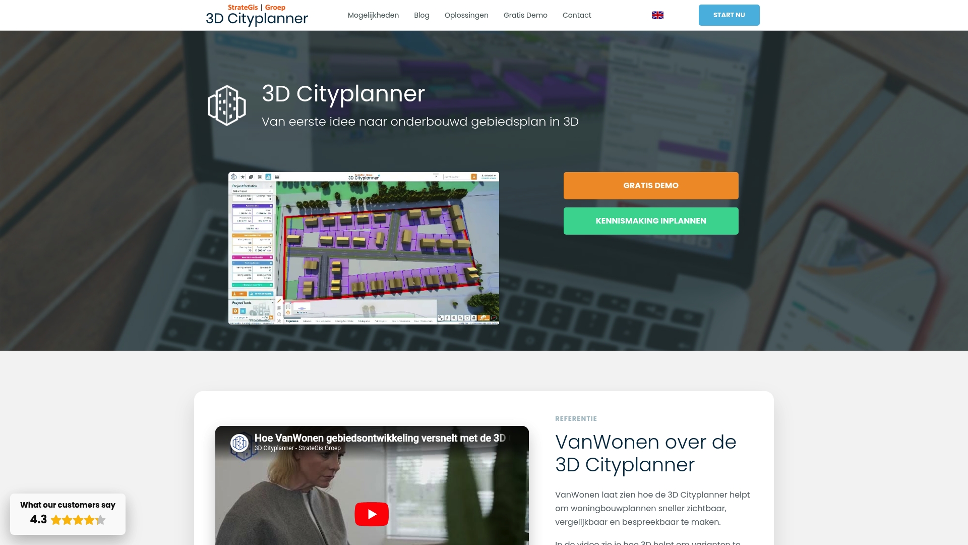
Combines GIS data, 3D city models, automated area generation, scenario planning and project calculations in a single browser based environment. The platform acts as a digital twin for existing and proposed environments and supports shadow and environmental impact analysis. It also bundles financial modelling for costs, revenues and residual land value estimation to support early feasibility decisions.
Core Features
3D Cityplanner brings AI-powered site analysis and data organisation together with automatic scenario generation for plots, roads, green spaces and parking. The environment supports 3D shadow and environmental impact analysis and lets you run scenario comparisons for design variants. It also integrates spatial datasets such as 3D BAG, BGT and terrain layers and includes financial modelling for project-level calculations.
Key Differentiator
The core strength is an integrated 3D environment that combines design, analysis and layered spatial data so you can compare scenarios visually and numerically in the same session. This close coupling of GIS, 3D city models and automated area generation reduces the back and forth between mapping, design and spreadsheet tools. The result is faster site evaluation during early stage feasibility and masterplanning.
Pros
The platform enables fast visual analysis and scenario testing in 3D, which improves the speed of early-stage decisions for development feasibility. It simplifies stakeholder communication through clear visualisations and side by side scenario comparisons for alternative layouts. Browser based collaboration supports multidisciplinary teams and lets planners, architects and developers view the same digital twin without heavy client installs.
Cons
- Limited public detail on advanced customisation and integration options, which may matter for projects that need bespoke data pipelines.
Who It’s For
Organisations involved in urban planning, municipal planning offices, property developers, architects and academic programmes will find the tool useful. It fits teams that need quick site assays, scenario testing and clear visual material for stakeholder consultation. The product particularly suits projects focused on early feasibility, masterplanning and redevelopment.
Unique Value Proposition
A browser based digital twin that pairs 3D visual comparisons with built in financial modelling in one session. That combination lets you move from massing and sunlight checks to residual land value estimates without switching tools. The workflow reduces manual data transfer and keeps planning evidence consistent for presentations and approval discussions.
Real World Use Case
VanWonen uses 3D Cityplanner to generate and compare housing development variants rapidly, assess environmental impacts and present options to stakeholders. The team uses the scenario comparison and shadow analysis to narrow design options before detailed design. That approach shortened the number of review cycles during early approvals.
Pricing
Pricing is not listed publicly and the vendor describes pricing as informational only. Contact the provider for licensing options, seat counts and deployment models tailored to municipal or developer workflows.
Website: https://3dcityplanner.com
Ratio.City
At a Glance
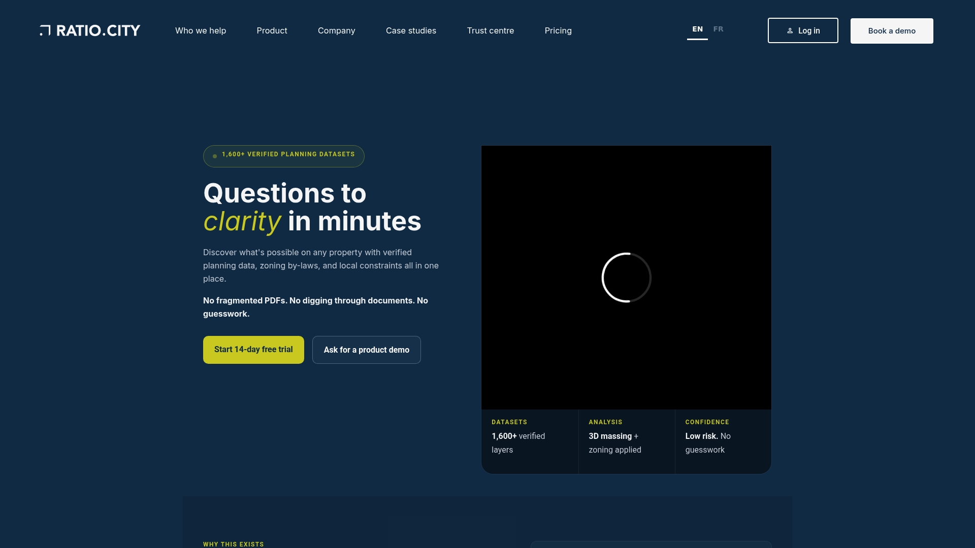
Ratio.City reports coverage across more than 70 Canadian cities. The vendor advertises it reduces site evaluation time from days or hours to minutes. The platform consolidates verified planning data, zoning rules and environmental constraints into a single mapped environment for quick reference.
Core Features
The platform offers data overlay for zoning, policy layers, infrastructure, heritage and environmental risk, plus interactive mapping in 2D, 3D, satellite and terrain views. It includes 3D massing and scenario modelling so teams can test building envelopes against planning rules. Project organisation tools include activity logs, permissions and report generation with source attribution to support due diligence.
Key Differentiator
According to the company, Ratio.City provides real-time, verified planning data across multiple Canadian jurisdictions integrated into an interactive map. That combination of jurisdictional coverage and in-map modelling lets teams move from desktop research to visual scenarios without switching tools. The collaboration features keep records of who changed what and why for auditability.
Pros
Consolidating municipal, provincial and federal planning layers into one place reduces time spent hunting for source documents and maps. That coverage supports faster site eligibility checks and clearer risk communication with stakeholders. Built-in scenario modelling and the platform’s reporting with source attribution help teams prepare evidence-based submissions for planning review. Granular permissions let municipal staff share selective views with external consultants.
Cons
- Third-party commentary notes the platform’s breadth is strong, but larger enterprise deployments may need custom arrangements and higher costs.
- Information about the frequency of data updates is limited, so you should confirm whether update cadence meets your project needs.
- Pricing varies by plan and enterprise customisation is available, which can make procurement more complex without direct vendor contact.
When It May Not Fit
The product is primarily geared to Canadian projects and may have limited coverage for regions outside Canada. Projects that require offline access will not work well because the platform needs an internet connection. Large multinational teams seeking global zoning coverage should expect to pair Ratio.City with other regionally focused sources.
Who It’s For
Urban planners, municipal staff, real estate developers and architects working in Canada who need consolidated, source‑attributed planning data will gain the most. It suits teams running early feasibility studies, policy interpretation and legal due diligence. Smaller consultancies that rely on shared project spaces and controlled data access will find the permission model useful.
Real World Use Case
A developer screens several candidate sites by overlaying zoning, heritage and flood risk layers on the same map. The team models alternative building masses in 3D and generates reports that cite original municipal sources for each constraint. That package of visuals and source attribution helps the developer present a focused case to city officials and consultants.
Website: https://ratio.city
Gridics
At a Glance
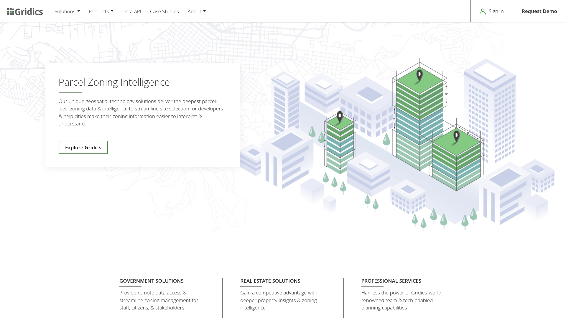
Parcel level zoning data combined with 3D mapping and live code management forms the platform’s most distinctive capability. The vendor advertises that this combination helps municipal teams and private developers assess development potential at individual lots. The vendor also advertises that it is trusted by numerous municipalities and leading real estate firms. That claim appears across Gridics’ marketing materials and explains its focus on civic deployments.
Core Features
Gridics delivers parcel level zoning visualisation alongside 3D mapping and GIS integration, so you can view zoning, building massing and lot geometry together. The platform includes code text editing with collaboration and live publishing, plus public self service portals for citizen access to zoning rules. These elements connect zoning data to maps so planning teams can test scenarios and share outcomes with stakeholders.
Key Differentiator
Gridics centres on parcel level zoning insights rather than broad zoning layers. The platform links each parcel to its applicable code text and to a 3D representation of development potential, and that tight parcel code mapping is rare among geospatial zoning products. That focus makes it easier to answer site specific questions during feasibility and due diligence.
Pros
Gridics offers strong geospatial visualisation that turns complex zoning text into map driven answers, which helps reduce time spent on manual cross referencing. The code management and live publishing tools let municipal staff update rules and reflect changes on public maps without separate deployments, which improves transparency. Vendors mark implementations in both small and large jurisdictions, and Gridics reports a consistent record of municipal projects and real estate use cases.
Cons
- The platform’s breadth of features may require formal training for planning teams to use it well.
- Some specialised modules or third party configuration will need additional technical support.
- The system can feel complex for very small jurisdictions or for users who only need occasional zoning lookups.
When It May Not Fit
If your authority needs a lightweight lookup tool with minimal onboarding, Gridics may be more than required. Small councils with only occasional zoning questions will likely find the platform complex. Organisations unwilling to invest in initial configuration and staff training will struggle to use the full feature set.
Who It’s For
Municipal urban planners, zoning officers and planning consultants who need parcel based zoning intelligence will find Gridics most useful. Real estate development teams conducting site selection or due diligence also gain from the parcel to code linkage. The platform suits teams aiming to publish authoritative zoning maps for public engagement.
Real World Use Case
The City of North Miami linked Gridics 3D zoning maps to its municipal website. City staff and residents gained interactive, real time access to zoning information and development potential for individual parcels. That deployment improved transparency and made it quicker for staff to answer site specific planning enquiries.
Pricing
Not applicable. Gridics positions its offering as an informational and municipal solution, and no public pricing tiers are listed. Procurement typically follows municipal contracting or bespoke commercial arrangements.
Website: https://gridics.com
Zoneomics
At a Glance
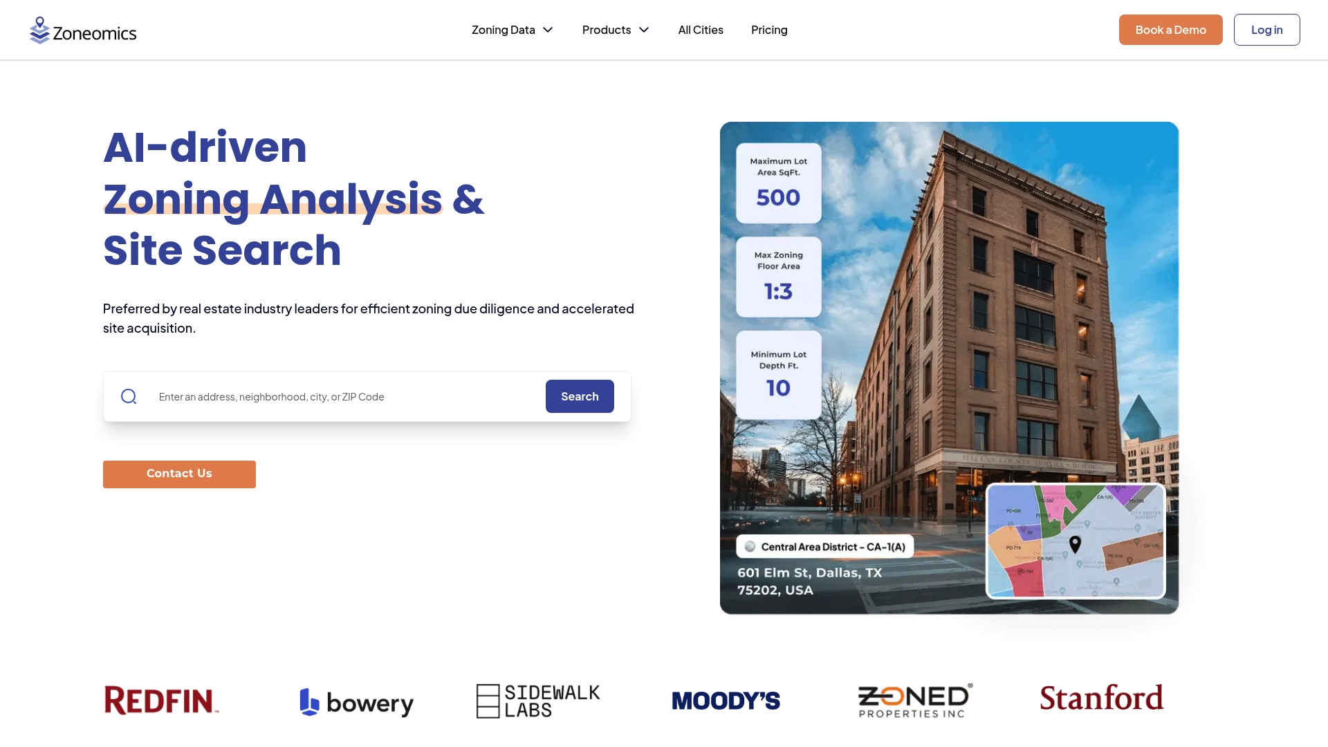
Zoneomics reports more than 23,500 cities digitised, with access to 100 million parcels and 392 million acres of land area coverage. The platform pairs that dataset with AI-driven zoning analysis and a zoning API for custom queries. Tools aim to speed up zoning due diligence for developers, lenders, and investors.
Core Features
AI-driven site search flags zoning constraints, permitted uses, and candidate parcels across jurisdictions. That coverage includes parcel geometry and land area metrics, plus property boundaries that support comparative screening. The platform also generates zoning reports, certified letters, and a zoning API for system integration.
Key Differentiator
The primary differentiator is the combination of extensive parcel coverage and automated analysis that turns zoning rules into searchable attributes. That breadth lets acquisition teams run batch queries across many jurisdictions without stitching multiple datasets together. For planners who need 3D scenario modelling or Digital Twin workflows, 3D Cityplanner better suits visual massing and stakeholder engagement needs.
Pros
Extensive geographic coverage lets teams perform cross-city parcel screening without sourcing multiple datasets. Multiple report formats and certified letters support legal and compliance workflows for acquisitions and lending. A well documented API speeds integration into underwriting systems. The site search is straightforward for analysts and transaction teams.
Cons
- Pricing details are not publicly specified and may vary by usage; enterprise features require contact and custom quotes.
- Limited information is available on specific third party integrations or compatibility with other planning systems.
- The platform can feel complex for users new to zoning analysis or without prior real estate experience.
Who It’s For
Suitable for real estate developers, land planners, property investors, appraisers, and legal teams handling zoning due diligence. It fits acquisition and lending teams that need parcel-level clarity and rapid screening across regions. It is less suitable for urban planners focused on 3D masterplanning or public consultation tools.
Real World Use Case
A development firm uses Zoneomics to assess zoning restrictions across dozens of parcels in a single city. Analysts run batch queries, export certified summaries, and feed results into underwriting models. The approach reduces manual research and shortens the time from site identification to entitlement.
Pricing
Pricing tiers are not publicly specified; the vendor points to subscription and API plans on the website. Enterprise features and higher API call volumes require contacting sales for a custom quote. Specific trial options or developer key terms are not publicly listed.
Website: https://zoneomics.com
TectMind
At a Glance
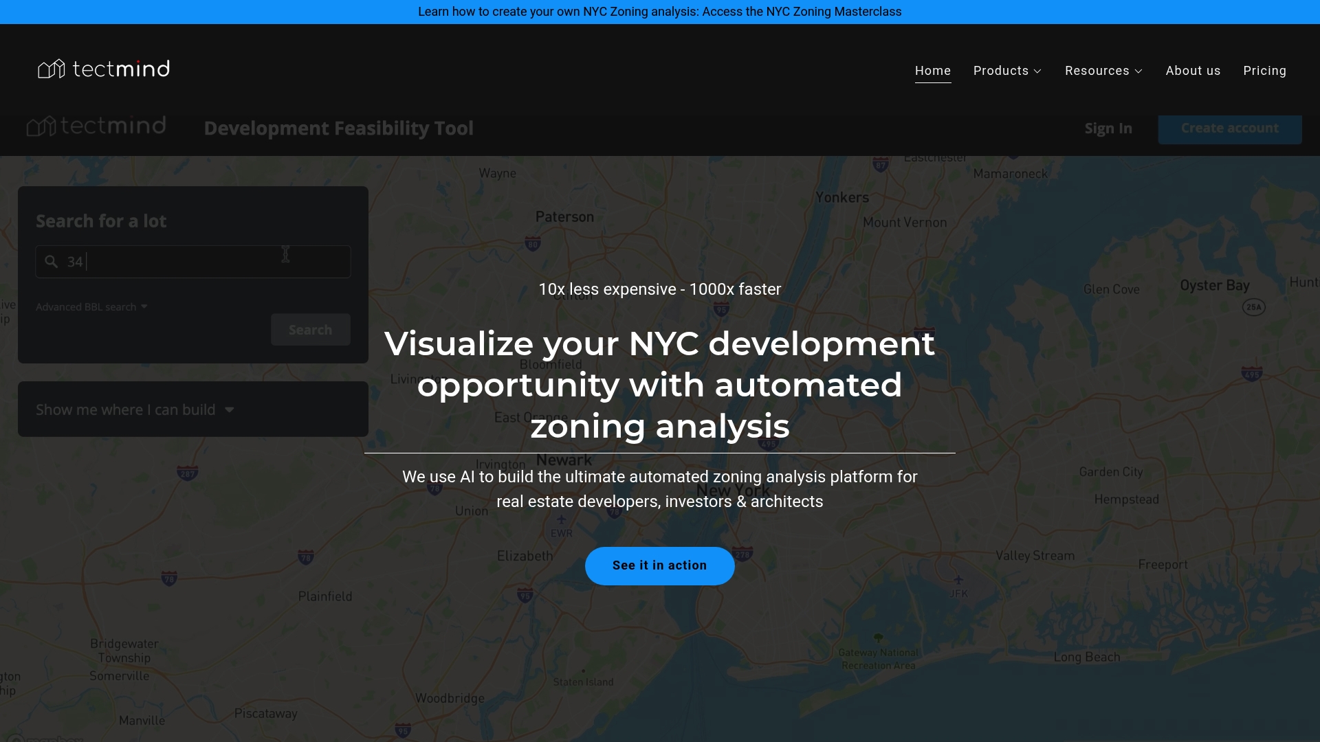
Starting at $499 for a preliminary zoning report, TectMind targets rapid site screening for NYC parcels. The service pairs automated analysis with optional expert review and financial modelling. That combination helps developers compare multiple sites quickly and cut the wait time for early feasibility checks.
Core Features
The platform performs AI driven zoning analysis to estimate development potential and to flag applicable rules and incentives across NYC zoning codes. It produces preliminary zoning reports with volumetric and financial metrics and offers custom expert reviews for complex cases. The package also includes training courses and masterclasses to raise zoning literacy among project teams.
Key Differentiator
The product combines automated zoning calculations with on demand expert review and detailed financial modelling specifically for NYC parcels. That pairing moves a feasibility check from a desk exercise to a decision ready deliverable. The vendor positions the service for teams that need quick, defensible comparisons rather than long council driven studies.
Pros
TectMind delivers fast, cost effective early analysis that reduces reliance on lengthy consultant reports. Its output makes zoning rules more accessible to non experts while still providing the volumetric and financial figures planners and developers need to rank sites. Teams can order automated reports for many addresses, then commission expert review where numbers or legal nuance require deeper scrutiny. The education content helps bring junior staff up to speed on local rules and incentives.
Cons
- Limited to NYC zoning regulation data, so it has little value for projects outside the city.
- Results depend on accurate user inputs for parcel boundaries and financial assumptions.
- Complex or atypical sites often require supplemental legal review beyond the automated output.
When It May Not Fit
If your portfolio spans multiple cities, this tool will not supply local codes beyond NYC. For schemes that hinge on unusual zoning interpretations, you will still need a legal opinion. Teams that require integration with city permitting workflows will find the product focused on feasibility rather than permitting.
Notable Integrations
- NYC zoning data
- Land use databases
Who It’s For
Real estate developers, architects, and urban planners working in New York City who need quick, reasoned feasibility checks will get most value. The product suits teams that prioritise fast site triage and readable financial outputs. It also matches investor due diligence tasks where you must discard or shortlist properties rapidly.
Real World Use Case
A developer screens a batch of Manhattan and Brooklyn lots to decide which sites to pursue. They buy automated reports for each address to get volumetric and revenue estimates. For the top candidates they commission expert review to confirm assumptions before making offers.
Pricing
The vendor lists report pricing starting at $499, with expert services beginning at $1500 and up. Custom analysis and consulting are quoted separately for complex requests.
Website: https://tectmind.com
MapYourProperty

At a Glance
MapYourProperty claims it reduces planning due diligence from a week to ten minutes. That claim rests on cloud-based property searches, zoning layers and automated report generation. The platform focuses on land development work for professionals in Toronto and the Region of York.
Core Features
MapYourProperty bundles property search, digital mapping and zoning data with automated report generation for site due diligence. The system analyses more than 50 datasets covering planning and environmental features and offers tools for feasibility assessments and regulatory checks. Members can run site selection analytics and export development value assessment reports for teams and clients.
Key Differentiator
The platform centres on real-time property and regulatory data for Toronto and York region, which makes it unusually location specific. That focus suits firms that need fast, local answers rather than a national or global view. Compared with broader browser-based digital twins such as 3D Cityplanner, MapYourProperty targets quicker, place-specific property screening for redevelopment decisions.
Pros
MapYourProperty delivers detailed mapping and regulatory data aimed at land developers and real estate teams. The vendor reports industry adoption by developers, engineers, law firms and brokerages, which supports practical credibility for local projects. The interface prioritises quick access to critical site information and multi-user licences let several members in a team share reports and workflows. The platform also packages its analysis into exportable reports that reduce manual compilation of zoning and environmental checks.
Cons
- Region limited: the service only covers Toronto and the Region of York, so members working elsewhere will lack coverage.
- Costly for small teams: pricing is relatively high for single users or very occasional members.
- Support gaps: homepage and support pages show errors and incomplete information, which may frustrate members seeking self-help.
When It May Not Fit
If your work spans multiple provinces or national portfolios, this platform will feel narrow. Small consultancies that only assess a few sites a year will likely find the cost hard to justify. Teams that need extensive online documentation or an active member forum may be hampered by the limited support resources. Organisations needing city-scale 3D scenario modelling should look to broader digital twin tools instead.
Who It’s For
MapYourProperty suits real estate professionals, urban planners, engineers, law firms and developers whose projects lie inside Toronto and York region. It fits teams that prioritise rapid site screening and documented regulatory checks. The platform also works for brokerages that need concise development value reports for portfolio reviews.
Real World Use Case
A Toronto developer screens a shortlist of properties and uses MapYourProperty to pull zoning, environmental layers and a development value assessment. The team exports standardised reports to share with planners and legal counsel. That workflow speeds early-stage site filtering and focuses site visits on the most viable candidates.
Website: https://mapyourproperty.com
Comparison of alternatives
Choosing the best zoning analysis software requires evaluating factors such as geographic coverage, modelling capabilities, and pricing models.
Coverage and data breadth
Ratio.City provides extensive coverage across over 70 municipalities in Canada, making it an excellent choice for regional projects requiring consolidated zoning and planning data. This allows planners to reduce the timeframe for feasibility studies and ensures compliance with local regulations. Zoneomics expands upon its offerings with its reported coverage of more than 23,500 cities; however, clarity on data integration and pricing specifics could enhance its workflow adaptability.
Interface and customisation
3D Cityplanner excels in integrating intuitive 3D models with financial impact assessments, allowing users to visually compare development scenarios while aligning them with budgetary considerations. Conversely, Gridics is highly tailored for parcel-level zoning insights, excelling in high-detail use cases where accurate lot-based data is required. These nuanced strengths can cater to specific planning contexts and user group needs.
Best fit
- Early-stage master planning and scenario analysis: 3D Cityplanner combines GIS data, 3D modelling, and financial impact assessments in a browser-based interface that enhances collaborative project initiation.
- Regional analysis in Canada: Ratio.City aggregates municipal, provincial, and federal planning data into one platform, streamlining zoning and compliance workflows for Canadian urban projects.
- NYC-specific feasibility and analysis: TectMind simplifies feasibility checks with financial modelling and zoning analysis at parcel scales tailored to New York City’s complex needs.
Our pick
For its integration of visual urban planning tools with financial evaluation capabilities in a browser-based environment, 3D Cityplanner stands out as the preferred choice for urban development projects. Nonetheless, planners focusing on regional regulations in particular locations, such as Canada or New York City, may discover fits in alternatives like Ratio.City or TectMind. While 3D Cityplanner provides substantial benefits for multi-disciplinary project setups, evaluating complementary solutions ensures fingerprinted accuracy for localised challenges.
Here is a concise comparison of zoning analysis software, focusing on their strengths and use cases.
| Software | Core Feature | Best For | Pricing | Notable Limitation |
|---|---|---|---|---|
| 3D Cityplanner | Integrated GIS and 3D modelling | Early feasibility and master planning | Price not published | Limited public detail on advanced customisation options |
| Ratio.City | Detailed Canadian planning layers | Canadian municipal and real estate projects | Price not published | Limited regional coverage outside Canada |
| Gridics | Parcel-level zoning data | Municipal and real estate teams | Price not published | Steeper learning curve for small jurisdiction teams |
| Zoneomics | AI-driven broad zoning search | Real estate acquisitions | Price not published | Complex documentation for beginner users |
| TectMind | NYC zoning reports | NYC-specific feasibility analyses | $499 per report | Limited to New York City data |
| MapYourProperty | Toronto and York region focus | Local land development projects | Price not published | Exclusive to Toronto and York regions |
How to Overcome Challenges in Zoning Analysis Software
Urban planners, municipalities, real estate developers, and architects often face fragmented data and slow workflows when evaluating zoning scenarios. Key challenges include managing GIS data, conducting 3D site analysis, and integrating financial modelling without switching between multiple tools. 3D Cityplanner addresses these issues by offering a browser-based digital twin that combines spatial data, scenario comparisons, shadow studies, and project calculations in one platform. This reduces manual data transfers and accelerates early-stage feasibility studies.
With 3D Cityplanner you can:
- Design, analyse, and compare urban development scenarios in 3D
- Perform site evaluations including sunlight and environmental impact
- Model residual land values alongside spatial layouts
For professionals focused on data-driven urban planning and real estate development, 3D Cityplanner provides a unified environment to improve decision-making and stakeholder communication.
Explore 3D Cityplanner Demo and see how faster site evaluation can transform your planning process.
FAQ
How does 3D Cityplanner support rapid site evaluation?
3D Cityplanner enables fast visual analysis and scenario testing in 3D, which accelerates decision-making for development feasibility. The platform combines GIS data, 3D city models, and automated area generation to streamline the evaluation process. This efficiency helps urban planners and developers quickly assess multiple designs and present findings to stakeholders.
What is the difference between Ratio.City and 3D Cityplanner?
Ratio.City provides real-time, verified planning data across multiple Canadian jurisdictions integrated into an interactive map. This feature is beneficial for teams needing location-specific zoning insights. In contrast, 3D Cityplanner excels in visualising and analysing urban development scenarios in 3D, facilitating detailed feasibility and impact assessments in a single browser-based session.
Can I use TectMind if I need zoning analysis outside New York City?
TectMind is limited to New York City zoning regulations, providing tailored analysis for that area. This focus suits developers operating solely in NYC but may not be practical for those assessing properties in other locations. For broader feasibility studies and comparisons, 3D Cityplanner is a more versatile option, allowing for multi-regional analysis in a unified environment.
How does Gridics improve zoning analysis efficiency?
Gridics offers strong geospatial visualisation that turns complex zoning text into map-driven answers, which helps reduce time spent on manual referencing. This functionality links parcel-level zoning insights to a 3D representation of development potential. Urban planners benefit by having zoning data presented in an easily interpretable format, but for comprehensive scenario comparisons, 3D Cityplanner’s integrated features are more effective.
What features differentiate Zoneomics from 3D Cityplanner?
Zoneomics utilises AI-driven site search to flag zoning constraints across a wide range of jurisdictions, making it suitable for quick zoning due diligence in various regions. While it excels in breadth of data access, 3D Cityplanner stands out by providing an all-in-one solution for designing, analysing, and comparing urban development scenarios in 3D, making it ideal for more detailed evaluations.