Smart city planning: tools, techniques and 3D insights
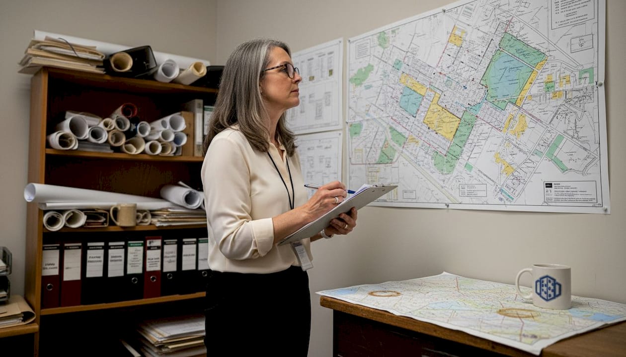
Smart cities are frequently portrayed as places filled with sensors, screens, and self-driving vehicles. But the deeper question is not what technology a city uses, it is how that city is planned, simulated, and governed. Smart city planning is the strategic use of ICT, data analytics, IoT, AI, and 3D technologies to enhance urban sustainability, efficiency, and quality of life through integrated planning across governance, mobility, economy, environment, people, and living. Getting this right demands a systems-level approach, not a gadget-first mindset. This article breaks down the core methodologies, essential technologies, governance models, and practical frameworks that urban planners, architects, and developers need to navigate this space with confidence.
Key Takeaways
| Point | Details |
|---|---|
| Smart city planning basics | True smart planning blends technology with people-centred governance for best results. |
| Role of 3D digital twins | 3D twins enable testing and optimisation in a risk-free virtual space to support resilient cities. |
| Governance is critical | Cities succeed when digital platforms support participatory, flexible, adaptive governance. |
| Adapt to context | Smart city strategies must be customised to local conditions and social realities. |
| Digital divides matter | Bridging technology gaps ensures all citizens benefit, not just the connected minority. |
The foundations of smart city planning
Having challenged the surface-level view of smart cities, we can now uncover what truly defines smart city planning and why each building block matters. At its core, smart city planning is not a single discipline. It is the convergence of spatial analysis, digital infrastructure, citizen participation, and policy design into a coherent, adaptive system. The goal is a city that learns, responds, and improves continuously.
Core methodologies include data collection from sensors and citizens, real-time analytics, digital twins for simulation, GIS for mapping, and participatory governance involving multi-stakeholder collaboration. These elements do not work in isolation. A traffic sensor is only useful if its data feeds into a live model that planners can act upon. A citizen engagement platform is only meaningful if the insights it gathers genuinely shape decisions.
The key building blocks of smart city planning include:
- Cross-sector collaboration: Bringing together transport authorities, energy providers, housing departments, and community groups
- Data-driven decision making: Using real-time and historical data to guide investment and policy
- Citizen engagement: Involving residents in the planning process through open platforms and consultations
- Spatial modelling: Visualising how changes to one area affect the wider urban ecosystem
- Adaptive governance: Building flexible structures that can respond to emerging challenges
Digital twin urban planning represents one of the most significant advances in this space. By creating a live, data-connected replica of a city, planners can test scenarios such as a new transit line or a flood barrier before a single brick is laid. This reduces risk, cuts costs, and improves stakeholder communication significantly.
“The most effective smart city strategies are not technology deployments. They are governance transformations supported by technology.”
This distinction matters. Urban environments benefit most when tech solutions align with governance structures and community needs, rather than being imposed from above.
Core technologies: from IoT to 3D digital twins
With the core principles established, let us see how technology choices shape the reality of smart city planning and why 3D twins are becoming a must-have for serious practitioners.
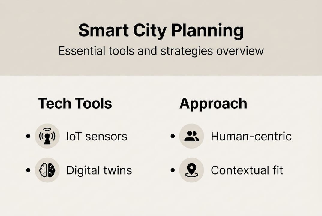
The key smart city technologies fall into several interconnected categories. Each plays a distinct role, yet they are most powerful when integrated:
- IoT (Internet of Things): Sensors deployed across a city collect real-time data on air quality, traffic flow, energy consumption, and waste management. This continuous data stream is the nervous system of any smart city.
- AI and machine learning: Algorithms process vast datasets to optimise traffic signals, predict maintenance needs, and model population growth. AI-IoT integration reduces congestion by 30% and can improve resource yields by 25% in well-implemented deployments.
- GIS (Geographic Information Systems): Advanced spatial mapping allows planners to overlay demographic, environmental, and infrastructural data. GIS is the backbone of scenario planning and land-use analysis.
- 3D digital twins: These living simulation environments connect to real-world data feeds and allow planners to test interventions before committing resources. They are increasingly the preferred tool for complex urban projects.
| Technology | Primary use | Key benefit |
|---|---|---|
| IoT sensors | Real-time monitoring | Continuous data for decisions |
| AI and machine learning | Pattern recognition and optimisation | Efficiency and predictive insight |
| GIS | Spatial analysis and mapping | Scenario planning and visualisation |
| 3D digital twins | Urban simulation | Risk reduction and stakeholder clarity |
Pro Tip: When selecting technologies for a smart city project, start with the decisions you need to make, not the tools available. Map your governance questions first, then identify which technology answers them most directly.
European and Japanese cities consistently lead in open data frameworks for smart city modelling, often publishing their digital twin datasets publicly to encourage third-party innovation. Exploring how digital twins transform planning reveals just how rapidly this approach is reshaping infrastructure investment decisions across regions. For a broader understanding of how urban digital twins enhance planning, the evidence base is growing rapidly and is well worth examining in detail.
Human-centric strategies and governance models
Technology alone is not enough. Understanding who plans, who governs, and who participates determines whether a smart city project succeeds or stalls. This is where governance changes outcomes more than any sensor ever could.
Two contrasting models illustrate the range of approaches in practice. Barcelona’s participatory model generated over 31,000 public proposals through its Decidim platform, creating genuine co-ownership of urban decisions. Singapore’s centralised, highly coordinated model achieves extraordinary efficiency through strong state leadership and long-term planning horizons. Neither is universally superior. The right model depends on political culture, institutional capacity, and the specific challenges a city faces.
| Governance model | Key feature | Example city | Main risk |
|---|---|---|---|
| Participatory | Citizen-led proposals | Barcelona | Slower decision cycles |
| State-led | Centralised coordination | Singapore | Reduced public agency |
| Hybrid | Mixed authority structures | Amsterdam | Complexity in alignment |
The risks of getting governance wrong are substantial. Tech-centric approaches fail without strong governance, as the Sidewalk Labs Toronto project demonstrated. That initiative collapsed not because of technical failure, but because of unresolved questions around data ownership, privacy, and democratic accountability.
Human-centred approaches consistently outperform tech-only solutions across the following dimensions:
- Building public trust and long-term political support
- Ensuring solutions address real community needs, not assumed ones
- Reducing resistance to change during implementation
- Mitigating risks of urban inequality that technology can inadvertently worsen
For planners looking to embed these principles into their workflows, exploring 3D strategies for city planning offers a practical bridge between governance thinking and spatial modelling tools.
Advanced frameworks: complex systems and contextual adaptation
To move from theory to high-impact practice, planners must think beyond individual tools and governance structures. Cities are not linear systems. They are dynamic, interconnected, and often unpredictable. Planning must reflect that reality.

Cities are complex adaptive systems, meaning that changes in one subsystem ripple unpredictably through others. A shift in housing policy affects transport demand, which affects air quality, which affects public health outcomes. Rigid master plans cannot account for this nonlinearity. Urban informatics and AI-assisted planning tools are now filling that gap, processing complexity at a scale beyond human cognition.
For practitioners working with multi-factor decisions, structured frameworks provide essential clarity:
- MCDM (Multi-Criteria Decision Making): Evaluates city initiatives across economic, social, and environmental dimensions simultaneously
- AHP-TOPSIS (Analytic Hierarchy Process combined with TOPSIS ranking): Benchmarks competing interventions using weighted criteria to identify the highest-value options
- Scenario planning with digital twins: Tests multiple futures in parallel, allowing planners to stress-test assumptions before committing to a course of action
“Context is not a variable to control for. It is the design brief itself.”
Contextual adaptation is more important than adopting the most sophisticated tool available. A smart mobility solution that works in dense Tokyo will not automatically transfer to a mid-sized African city with different infrastructure, governance, and socioeconomic conditions. Digital divide risks widen inequality when universal technology deployment ignores local context and capacity.
Pro Tip: Before adopting any new planning framework, run a local context audit. Assess existing data infrastructure, governance capacity, digital literacy, and community priorities. This audit will tell you which tools are ready to deploy and which require foundational work first.
Common pitfalls to avoid include siloed technology deployments where systems do not communicate, failure to align tools with local regulatory environments, and treating 3D modelling in planning as a visualisation exercise rather than a decision-support tool. Understanding the full impact of digital twins on planning outcomes helps teams avoid these traps and extract genuine value from their technology investments.
A different lens: why smart city planning starts with people, not platforms
Most conversations about smart cities focus on what platforms can do. Fewer focus on what planning processes must become. That is the real gap.
The evidence from failed smart city pilots is consistent. The Sidewalk Labs withdrawal, failed sensor rollouts in several European municipalities, and stalled mobility projects across Asia share a common thread. Prioritising smart governance over purely smart technology deployment is what separates lasting outcomes from expensive experiments.
Digital tools only deliver when embedded within participatory processes and genuinely tailored to city context. A 3D digital twin is not a solution. It is an amplifier. If the governance process feeding it is poorly designed, the twin will model the wrong things with extraordinary precision.
Planners must cultivate multi-stakeholder buy-in from the earliest stages, build in ongoing learning loops, and design systems that flex as cities change. The guide to digital twin cities makes this case clearly: technology platforms amplify good governance but can never replace it. The professionals who understand this distinction are the ones who will shape cities that actually work.
Try advanced 3D planning in your next urban project
The principles covered here, from participatory governance to complex systems modelling, all require tools capable of bringing data, stakeholders, and spatial analysis together in one environment. That is precisely where 3D Cityplanner adds genuine value for forward-thinking professionals.
3D Cityplanner combines automatic building generation, line-of-sight visualisations, noise simulations, and 4D timeline planning into a single, accessible platform. You can test scenarios, present findings to stakeholders, and iterate rapidly without switching between disconnected tools. Explore the full feature set and start a trial without any upfront payment. For planners ready to move from concept to confident delivery, this is a practical and powerful next step.
Frequently asked questions
What are the main benefits of smart city planning?
Smart city planning boosts urban sustainability, efficiency, and quality of life by integrating ICT, data analytics, IoT, and AI into coordinated, multi-sector strategies. It enables more responsive governance, better resource allocation, and improved outcomes for residents.
How do 3D digital twins improve city planning?
Digital twin technology allows planners to simulate and test urban scenarios before implementation, reducing costly mistakes and improving stakeholder communication. They function as living environments where design decisions can be validated against real data before being committed to.
Why do some smart city projects fail?
Tech-centric projects fail when governance, citizen engagement, and local context are overlooked. Technical capability is rarely the limiting factor; organisational and political alignment almost always is.
What challenges should cities consider before adopting smart technology?
Cities must address the digital divide and inequality risks, align technology choices to local capacity and needs, and establish clear frameworks for data privacy and ethical use before scaling any deployment.
Recommended
- Leverage 3D modelling for smarter city planning in 2026 – 3D Urban Development
- Top city planning strategies using advanced 3D technology – 3D Urban Development
- Why optimise city planning: 3D tools for better design – 3D Urban Development
- Optimise city development with advanced 3D strategies – 3D Urban Development


