Why optimising urban spaces drives smarter cities
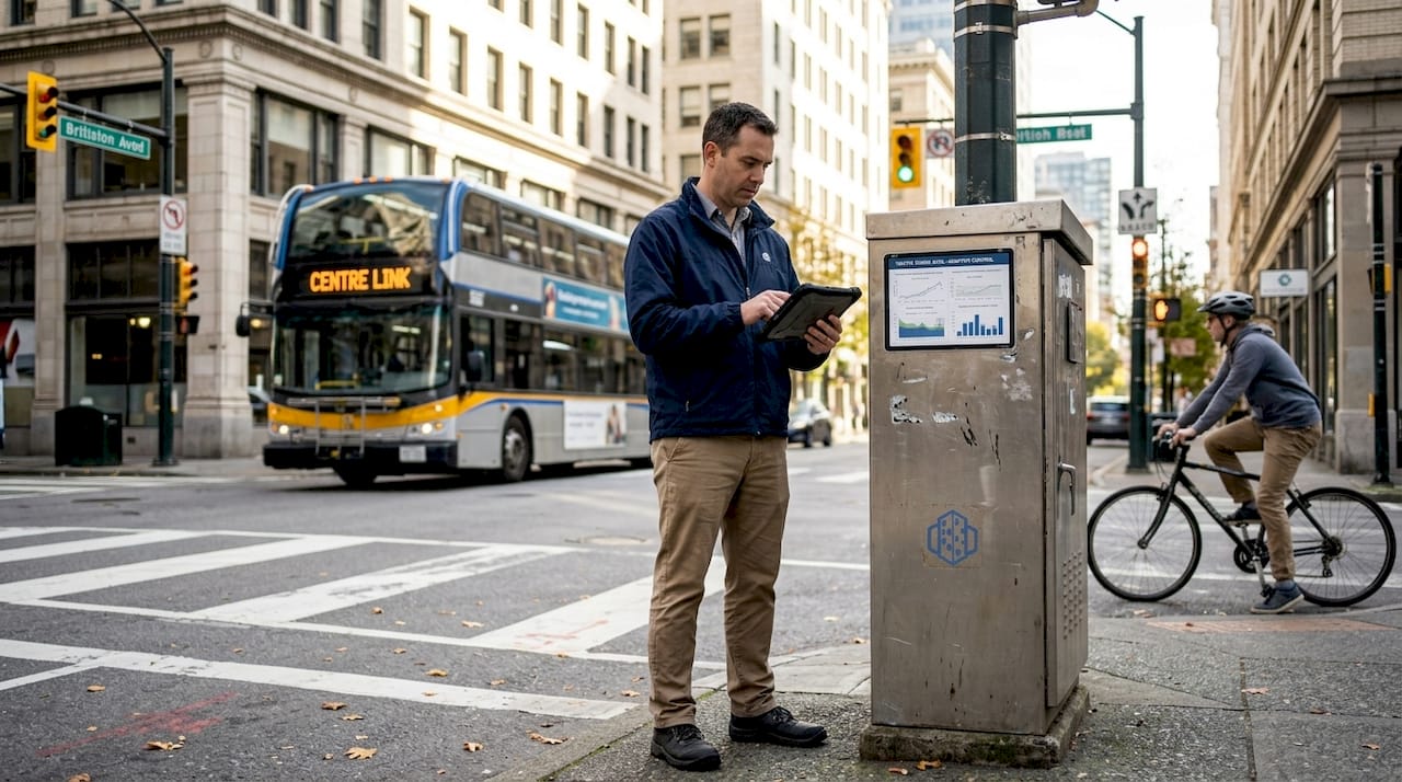
Urban congestion costs more than commuter frustration. Adaptive traffic signals reduce trip times, annual CO2, and congestion by significant margins across major cities, yet most urban interventions still treat symptoms rather than causes. The gap between surface-level fixes and genuine optimisation is where cities lose billions in productivity, health costs, and carbon output each year. This article explains the core reasons urban spaces need robust optimisation, outlines the advanced 3D methodologies that make it achievable, examines real typological trade-offs, and presents measurable results from cities that have committed to data-driven transformation.
Key Takeaways
| Point | Details |
|---|---|
| Optimisation tackles urban challenges | Modern urban design uses optimisation to solve congestion, sustainability, and comfort gaps. |
| Advanced tools drive results | 3D modelling, digital twins, and multi-objective algorithms offer powerful scenario testing and improved outcomes. |
| Hybrid typologies work best | Balanced designs achieve both density and livability, validated by real city case studies. |
| Measurable impact is critical | Empirical data demonstrates massive reductions in commute time, emissions, and healthcare costs. |
The core reasons to optimise urban spaces
Urban spaces are under pressure from every direction. Population growth, climate change, ageing infrastructure, and rising expectations for quality of life all converge on the same physical footprint. Rapid urbanisation and climate change necessitate urban optimisation for sustainability, resilience, and efficiency, and that pressure is only intensifying.
The reasons to act are both urgent and varied. Consider the following core drivers:
- Sustainability and energy efficiency: Optimised layouts reduce heating and cooling loads, lower embodied carbon, and support renewable energy integration across districts.
- Climate resilience: Well-designed urban forms manage stormwater, reduce urban heat islands, and protect communities from extreme weather events.
- Spatial efficiency: Compact, well-planned neighbourhoods maximise land use without sacrificing livability, freeing up space for green infrastructure and public amenities.
- Daylight and thermal comfort: Strategic building placement and orientation improve access to natural light and reduce overheating, directly affecting occupant wellbeing.
- Social cohesion: Thoughtfully designed public spaces encourage interaction, reduce isolation, and foster community identity.
The health dimension is particularly compelling. Public spaces enhance health, reduce healthcare costs, promote physical activity, and build social cohesion. This is not a soft benefit. It translates directly into reduced pressure on health systems and measurable improvements in population wellbeing.
The economic case is equally strong. Optimised urban environments reduce infrastructure waste, boost land values, attract investment, and lower long-term operational costs for municipalities. A city that invests in optimisation today avoids far greater remediation costs tomorrow.
“Urban optimisation is not a luxury for wealthy cities. It is the baseline requirement for any city that intends to remain functional, equitable, and livable across the coming decades.”
Understanding the role of 3D technology in this context is essential. It connects the strategic intent of optimisation to the practical tools that make it measurable and actionable.
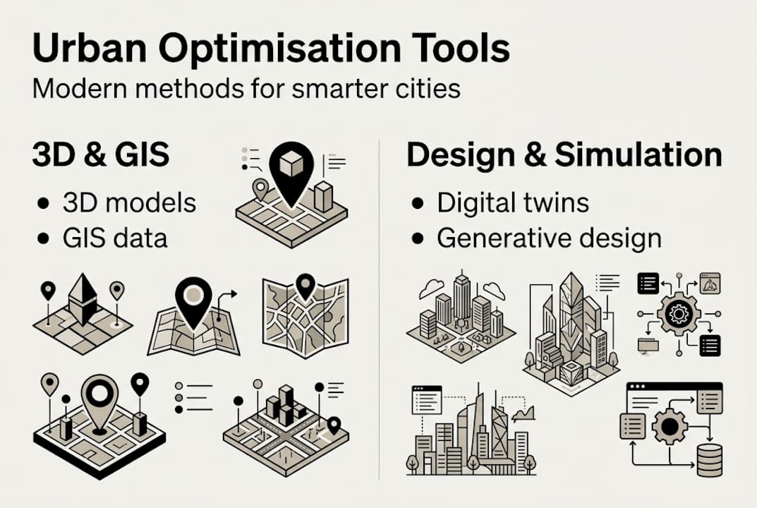
Modern methodologies: From data-driven analysis to advanced 3D tools
Understanding why optimisation matters sets the stage for exploring how advanced technologies make it possible. The good news is that the methodological toolkit available to urban planners in 2026 is more powerful than ever before.
Optimisation methodologies now include 3D modelling, GIS (Geographic Information Systems), digital twins, generative design, and multi-objective algorithms such as NSGA-III. Each brings a distinct capability to the planning process.
| Methodology | Primary function | Key benefit |
|---|---|---|
| 3D modelling | Spatial visualisation and design | Identifies conflicts and opportunities early |
| GIS analysis | Spatial data integration | Grounds decisions in real-world context |
| Digital twins | Real-time scenario simulation | Tests interventions before implementation |
| Generative design | Automated layout exploration | Surfaces non-obvious solutions at scale |
| Multi-objective algorithms | Balancing competing priorities | Optimises across energy, cost, and comfort simultaneously |
These tools work best in combination. An efficient 3D planning workflow typically begins with GIS data ingestion, moves into 3D modelling for spatial assessment, and then uses simulation to test performance under different scenarios.
Urban digital twins are particularly transformative. Think of them as living simulation environments: dynamic, data-fed models of a city or district that update in real time and allow planners to test interventions without physical risk. A digital twin city platform can simulate traffic flows, energy demand, flood risk, and air quality simultaneously, giving decision-makers a genuinely holistic view.
Key capabilities that advanced methodologies bring to urban optimisation include:
- Multi-indicator assessment frameworks that evaluate social, environmental, and economic performance together
- Network analysis tools that model pedestrian, cycling, and vehicle flows under different design scenarios
- Parametric modelling that allows rapid iteration across hundreds of design variants
- Environmental simulation covering solar access, wind comfort, and noise propagation
Pro Tip: When selecting tools for your project, prioritise platforms that allow multi-criteria evaluation in a single environment. Switching between disconnected tools introduces data loss and slows iterative refinement.
Typology trade-offs and the science of spatial efficiency
Applying advanced optimisation leads to practical typological choices, where trade-offs become critical. Not every urban form suits every context, and the data makes this clear.
Compact typologies offer higher spatial efficiency but can compromise daylight access and thermal comfort. Open forms deliver better environmental performance but often underutilise land. Hybrid approaches, as demonstrated in case studies from Aachen, achieve a more balanced outcome across energy, carbon, and cost indicators.

Here is how the three primary typologies compare across key performance dimensions:
| Typology | Spatial efficiency | Daylight access | Thermal comfort | Carbon performance |
|---|---|---|---|---|
| Compact | High | Low to medium | Lower | Variable |
| Open | Low to medium | High | Higher | Better |
| Hybrid | Medium to high | Medium | Medium to high | Balanced |
The practical implications are significant. A compact urban block may achieve excellent land efficiency and walkability scores, but if it creates deep shadow zones and overheated street canyons, the health and comfort penalties erode those gains. Optimisation tools surface these conflicts before construction begins.
Key trade-offs that optimisation methodologies reveal include:
- Energy demand versus density: taller, denser buildings may reduce heating loads per unit but increase cooling demand in summer
- Carbon embodied versus operational: lightweight open structures may have lower embodied carbon but higher operational energy needs
- Cost of land versus cost of infrastructure: compact forms save land costs but require more intensive utility networks
Pro Tip: Use a 3D building modelling tutorial to understand how to set up parametric models that test typological variants quickly. This saves significant time during the early design stages.
The ability to create 3D city models that reflect real typological conditions is what separates informed decisions from guesswork. When you can visualise and quantify trade-offs, you can defend your choices to stakeholders with evidence rather than intuition.
Real-world impact: Results from optimised traffic and public space interventions
Theory and frameworks are valuable, but the final proof is measurable impact, and that impact is now well documented in global city interventions.
The results from data-driven traffic optimisation are striking. Adaptive traffic signals and 3D tools reduce congestion, commute times, CO2 emissions, and improve safety in urban environments at a scale that justifies significant investment.
Key outcomes from optimised urban interventions:
- Commute times and congestion reduced by up to 38% in cities that implemented adaptive signal control systems
- CO2 emissions cut by tens of millions of tonnes annually across national networks
- Road safety improvements measured through reduced incident rates at optimised junctions
- Citizen satisfaction scores improved as journey reliability increased
- Public space redesigns linked to measurable reductions in healthcare utilisation
38% reduction in congestion achieved through adaptive traffic signal optimisation in leading city implementations.
Barcelona’s IoT traffic control reduces congestion by 30% and emissions by 20%, demonstrating that technology-led interventions deliver results at city scale, not just in pilot zones. These are not marginal gains. They represent a structural shift in how cities function.
Public spaces improve health and reduce associated costs when designed with evidence-based principles. Cities that invest in quality public realm see returns in reduced hospital admissions, lower rates of mental health intervention, and stronger community networks.
Platforms that support digital twins in urban planning allow planners to model these outcomes before committing capital. The ability to test a public space redesign in a digital environment, measure its projected health and mobility impacts, and refine the design iteratively is a genuine competitive advantage for any planning team. Smart city planning approaches that integrate these tools are setting a new standard for evidence-based urban governance.
Our take: What most approaches miss about urban space optimisation
The data is compelling and the tools are mature. So why do so many optimisation projects fall short of their potential? The answer lies in what algorithms cannot yet account for.
Governance fragmentation, data biases, and the absence of holistic health metrics consistently undermine otherwise well-designed optimisation programmes. A model is only as good as the data it consumes, and urban datasets frequently reflect historical inequities and incomplete coverage.
More fundamentally, context matters more than any single algorithm. A hybrid typology that performs brilliantly in Aachen may be entirely unsuitable for a rapidly growing district in Southeast Asia. Local cultural norms, governance structures, land tenure systems, and climate conditions all shape what optimisation actually means in practice.
The most effective practitioners we observe treat digital twin urban planning tools as decision-support systems, not decision-making systems. The technology informs; the planner decides. Optimisation should sharpen human judgement, not replace it. Cities that succeed are those that combine rigorous data analysis with deep local knowledge and genuine community engagement.
Take the next step in city optimisation with advanced 3D tools
The evidence is clear: optimising urban spaces delivers measurable gains in sustainability, health, efficiency, and economic performance. The challenge is translating that knowledge into action within your own projects.
3D Cityplanner brings together the tools you need to move from insight to implementation. The platform supports scenario testing, spatial optimisation, and digital twin modelling in a single, accessible environment. Explore the full feature list to see how capabilities such as automatic building generation, line-of-sight visualisation, and noise simulation can strengthen your planning process. A trial period is available without prior payment commitment, so you can assess the platform’s value against your real project needs before committing.
Frequently asked questions
What are the main benefits of optimising urban spaces?
Urban optimisation improves sustainability, reduces congestion, enhances public health, and delivers meaningful cost savings for municipalities and developers alike.
How do digital twins and 3D modelling support urban optimisation?
Digital twins allow efficient scenario testing and real-time visualisation, helping planners achieve balanced, data-driven outcomes without the cost and risk of physical prototyping.
Are there proven results from using advanced optimisation tools in cities?
Yes. Cities such as Barcelona have achieved 30% congestion reductions through IoT and adaptive signal tools, while broader national programmes have cut CO2 emissions by tens of millions of tonnes annually.
Can optimisation address both density and environmental comfort?
Hybrid typologies, supported by multi-objective optimisation, can achieve a balanced outcome between density and comfort, as demonstrated in case studies from Aachen and other European cities.
Recommended
- Why optimise city planning: 3D tools for better design – 3D Urban Development
- Why Optimise City Design for Sustainable Cities – 3D Urban Development
- Urban project optimisation with advanced 3D tools in 2026 – 3D Urban Development
- How to optimise city layouts with advanced 3D tools – 3D Urban Development


