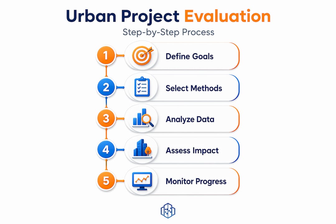
How to evaluate urban projects: a practical guide

Urban projects fail not because of bad intentions, but because of incomplete evaluation. When planners, developers, and community leaders skip rigorous appraisal, the result is cost overruns, missed social benefits, and projects that look good on paper but underdeliver in practice. Knowing how to evaluate urban projects systematically, across social, economic, and environmental dimensions, is what separates projects that transform communities from those that drain public resources. This guide gives you a structured, practical framework to assess urban initiatives from the earliest planning stages through to delivery.
How to evaluate urban projects: starting with preparation
Before you apply any evaluation method, the groundwork matters enormously. Poorly defined objectives are the single most common reason evaluations produce results nobody can act on. Clear objectives answer what needs to change, by how much, for whom, and within what timeframe. Without that clarity, you end up measuring the wrong things.
Start by translating your project’s intentions into specific, measurable outcomes. A transit project might aim to reduce average commute time by 15 minutes for residents in a defined catchment area within five years. A housing development might target a 20% increase in affordable units within a particular borough. These precise formulations do two things: they guide your selection of evaluation tools, and they give you benchmarks to judge success later.
Alongside objectives, define the scope of your evaluation clearly. This includes the geographic boundary of the project, the thematic areas you will cover (mobility, housing, environmental quality, economic activity), and the timeframe for assessment. Scope creep mid-evaluation is expensive and confusing for stakeholders.
Use the table below to understand the different types of objectives you will typically encounter in urban project evaluation and what each demands from your analysis.
| Objective type | Description | Evaluation focus |
|---|---|---|
| Output objective | Specific deliverable produced (e.g. km of cycle lane built) | Activity and delivery tracking |
| Outcome objective | Behavioural or condition change (e.g. modal shift to cycling) | Impact measurement post-delivery |
| Impact objective | Long-term societal change (e.g. reduced emissions) | Longitudinal and causal analysis |
| Equity objective | Distribution of benefits across population groups | Spatial and demographic analysis |
Once objectives and scope are set, compile your data requirements. You will need:
- Baseline data on existing conditions (traffic counts, air quality readings, housing costs, land use)
- Stakeholder consultation records and community needs assessments
- Policy alignment documents (local development plans, national sustainability frameworks)
- Technical survey data (topographic, structural, environmental)
Aligning your evaluation framework with recognised sustainability goals, such as the UN Sustainable Development Goals or national low-carbon targets, also strengthens the credibility of your results with funders and decision-makers.
Applying evaluation methods step by step
With your preparation complete, you can select and apply the methods best suited to your project type. No single method covers everything. The strongest urban project analyses combine quantitative and qualitative approaches.
Indicator systems like Environmental Impact Assessment (EIA), Strategic Environmental Assessment (SEA), Cost-Benefit Analysis (CBA), Social Return on Investment (SROI), and Life Cycle Assessment (LCA) each serve a distinct purpose. EIA and SEA address environmental and policy-level consequences. CBA monetises net economic value. SROI captures social value that traditional accounting misses. LCA examines resource and emissions impacts across the full project lifecycle. Used together, they make sustainability visible and allow evaluation to happen in stages rather than only at the end.
Multicriteria decision-making methods add another layer of rigour. The Stepwise Weight Assessment Ratio Analysis (SWARA) approach, for example, translates stakeholder and expert preferences into weighted criteria through structured interviews. Expert weighting methods reduce bias by converting qualitative judgements into objective scores, which you can then apply consistently across project alternatives. This is particularly useful when assessing urban development across neighbourhoods with different needs and characteristics.
Geographic Information Systems (GIS) bring the spatial dimension to life. By overlaying accessibility maps with demographic data, you can identify which communities benefit most, or least, from a proposed project. GIS spatial analysis combined with multicriteria methods allows planners to prioritise interventions in areas of genuine need rather than areas of political convenience.

For evaluating causal impact, particularly in regeneration or neighbourhood investment projects, the synthetic control method (SCM) is increasingly standard. Rather than relying on before-and-after comparisons that conflate external trends with project effects, SCM constructs a statistical comparison group to isolate what the project itself caused. HUD’s Choice Neighborhoods initiative used SCM alongside resident surveys to capture both measurable neighbourhood-level impacts and lived quality-of-life perceptions.
Pro Tip: Involve key stakeholders during the criteria weighting phase, not just the results phase. When residents and community leaders help define what matters most, the evaluation gains legitimacy and the findings are far more likely to inform real decisions. You can find practical guidance on incorporating stakeholder input effectively in urban planning contexts.
Key indicator types and their primary use cases:
- EIA/SEA: Environmental and policy-level consequence screening
- CBA: Net economic value and return on public investment
- SROI: Social outcomes including health, wellbeing, and community cohesion
- LCA: Whole-life environmental footprint from construction through decommissioning
- Accessibility indices: Spatial equity and service reach for different population groups
Assessing feasibility and financial benefits
Evaluating city planning projects for feasibility requires a structured financial appraisal that goes well beyond headline cost estimates. Many urban projects fail not because they lack ambition, but because operational and maintenance costs were underestimated from the outset.
Follow these steps to conduct a thorough financial and risk evaluation:
- Compile full cost estimates: Include capital expenditure (design, construction, land acquisition), operating costs, maintenance costs over the project lifetime, and eventual decommissioning or renewal costs.
- Apply discounted cash flow (DCF) analysis: Use an appropriate social discount rate to bring future costs and benefits into present value terms, reflecting the time value of money and public sector risk.
- Calculate key financial metrics: Net Present Value (NPV), Internal Rate of Return (IRR), and Benefit-Cost Ratio (B/C) give you comparable signals across project alternatives.
- Monetise wider benefits: Benefit-cost analyses quantify long-term project value by monetising benefits such as safety improvements, time savings, emissions reductions, and health outcomes. Always compare these against the “no project” baseline.
- Run sensitivity analysis: Test your NPV and B/C results under different assumptions. Vary key inputs, such as construction costs, demand forecasts, or discount rates, by plus or minus 10 to 20 percent. Sensitivity and risk analyses reveal which assumptions your conclusions depend on most heavily.
- Document risks explicitly: Categorise risks as financial, environmental, operational, or political, and assign likelihood and consequence scores. This feeds directly into your decision-making narrative.
| Financial metric | What it indicates | Decision signal |
|---|---|---|
| Net Present Value (NPV) | Total value created after costs, in today’s money | Positive NPV supports proceeding |
| Benefit-Cost Ratio (B/C) | Benefits generated per unit of cost | B/C above 1.0 signals net benefit |
| Internal Rate of Return (IRR) | Return rate at which NPV equals zero | Compare against required rate of return |
| Payback period | Time to recover initial investment | Relevant for private finance models |
Transportation improvement scoring frameworks, such as those used in federal programmes, combine benefit-cost scores with qualitative merit scores to produce a composite project readiness rating. Adopting a similarly structured composite score prevents single-metric bias in your own evaluations.
Pro Tip: Never outsource ownership of your financial evaluation entirely to consultants. Government staff and project teams should understand and be able to defend every assumption in the analysis. If you cannot explain why a particular benefit was monetised at a given value, that figure will not survive scrutiny from funders or auditors.
Verifying results and monitoring progress
Producing a strong evaluation at appraisal stage is only half the task. Measuring urban project success over time requires a monitoring system built into the project from day one.
Start by synthesising your cost-benefit results, multicriteria scores, and risk findings into a balanced decision brief. No single metric should dominate. A project with a positive NPV but high environmental risk scores and low community support deserves a different response than a project with a modest NPV, strong equity outcomes, and manageable risk. Comparing each alternative explicitly against the “do nothing” scenario keeps decisions grounded in real-world trade-offs.
Then establish your monitoring framework. Sustainability indicators measured during implementation allow what practitioners call “in itinere” evaluation, meaning assessment that happens while the project is running, not only before or after. This enables timely adjustments when performance falls short. For example, if a new public space is underused six months after opening, monitoring footfall data against targets can trigger an early redesign of programming or access routes rather than waiting for a five-year review.
Key elements of a monitoring framework include:
- A set of performance indicators directly linked to your original objectives
- Data collection schedules and responsibilities assigned to named team members
- Regular reporting milestones with thresholds that trigger review
- A process for incorporating community feedback, surveys, complaint logs, and consultation events
- Clear documentation of all assumptions and any changes made to the project during implementation
Combining quantitative impact data with resident perception surveys improves both the credibility and completeness of your evaluation. Numbers tell you what changed. Community voices tell you whether that change felt meaningful to the people it was meant to serve.
Pro Tip: Document all evaluation assumptions in a single accessible register from the start. When projects are challenged politically or legally, transparent records of how decisions were reached protect planners and developers and demonstrate accountability to communities.
What experience has taught me about evaluation pitfalls
I have seen more urban projects stumble at the evaluation stage than at any other point, and the pattern is almost always the same. The problem is not lack of data or analytical capacity. It is that teams start evaluating solutions before they have properly defined the problem.
Defining the problem rigorously, including who is affected, to what degree, and why the status quo is inadequate, creates the foundation that all subsequent analysis depends on. Skip this, and even the most technically polished CBA or GIS analysis is answering the wrong question.
The other consistent mistake I see is ignoring counterfactuals. What would happen without this project? Many project appraisals implicitly compare a proposed development against an imaginary baseline that does not change. Real cities change regardless. Strong causal evaluation requires designing baseline and counterfactuals upfront, aligned with your outcome variables, before any data collection begins.
Technology like GIS and 3D modelling has made spatial and visual analysis far more accessible, and I think that is genuinely positive for the profession. But it requires skilled interpretation. A beautifully rendered 3D model of a project that has not been properly evaluated against community needs is still a poorly evaluated project. The tools are only as good as the questions you bring to them.
— Anne
See evaluation in action with 3dcityplanner
Putting these evaluation frameworks into practice is significantly easier when your spatial analysis, stakeholder collaboration, and scenario modelling tools sit within one platform. 3dcityplanner integrates environmental impact assessment tools, 3D visualisation, and 4D timeline planning to give planners and developers a single environment for comparing project alternatives and communicating findings to stakeholders.
With 3dcityplanner, you can visualise how different design choices affect sightlines, sound exposure, and accessibility, then share those findings transparently with the communities and decision-makers who need them. If you want to see how the platform supports structured urban planning workflows, explore the full range of tools available on the 3dcityplanner platform and start a free trial without prior payment.
FAQ
What are the main criteria for urban project evaluation?
The main criteria cover economic viability (NPV, B/C ratio), social impact (equity, community benefit), environmental performance (emissions, resource use), and feasibility (risk, operational costs). Strong evaluations weight these criteria against one another rather than prioritising any single dimension.
How do you measure the success of an urban project?
Success is measured by comparing outcomes against the objectives defined at appraisal stage, using performance indicators tracked through a formal monitoring system. Both quantitative data and resident perception surveys contribute to a complete picture of project impact.
What is “in itinere” evaluation in urban projects?
“In itinere” evaluation refers to ongoing assessment during project implementation, rather than only before or after. It uses sustainability indicators to identify underperformance early, allowing teams to revise or adjust the project before completion rather than discovering problems in a post-implementation review.
Why is a counterfactual scenario important in urban project analysis?
A counterfactual shows what would happen without the project, giving you a true baseline for measuring impact. Without it, evaluations risk attributing changes to a project that would have occurred anyway due to broader urban trends or investment.
How does GIS support urban project evaluation?
GIS allows planners to overlay spatial data, such as accessibility, demographics, and land use, to assess how project benefits are distributed across different communities. Combined with multicriteria methods, it transforms abstract criteria into spatially grounded evidence for decision-making.