Why use digital urban planning for smarter design in 2026

Projects using 3D visualisation see nearly 30% fewer design revisions, yet many planners remain anchored to traditional methods. Digital urban planning transforms spatial development by integrating real-time simulations, collaborative platforms, and immersive visualisations that accelerate decisions and reduce costly errors. This article explores how modern digital tools optimise urban project outcomes, enhance stakeholder communication, and address common misconceptions that hinder adoption.
Table of Contents
- Introduction To Digital Urban Planning
- Role Of 3D Visualisation In Optimising Urban Design
- Environmental And Noise Pollution Simulation Benefits
- Impact Of Real-Time Simulations On Planning Decisions
- Collaborative Workflows Enabled By Digital Platforms
- Common Misconceptions About Digital Tools In Urban Planning
- Quantifiable Benefits In Decision-Making And Project Outcomes
- Case Studies Illustrating Digital Urban Planning Successes
- Explore Digital Urban Planning Tools To Enhance Your Projects
- Frequently Asked Questions
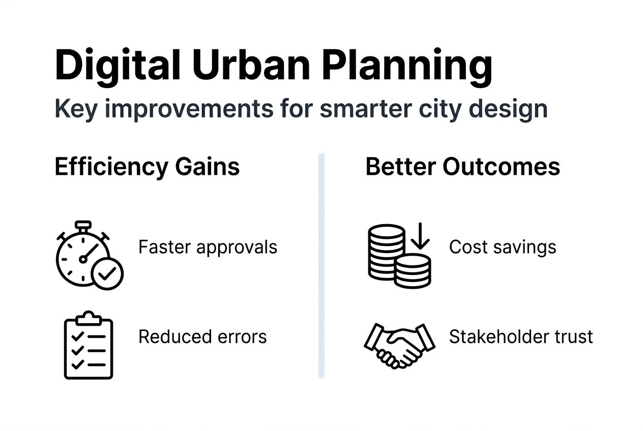
Key takeaways
| Point | Details |
|---|---|
| Accuracy and speed | Digital urban planning enhances design precision whilst reducing decision cycles by 25-40%. |
| Visual communication | 3D and 4D visualisations improve stakeholder understanding and cut revision cycles significantly. |
| Environmental insights | Simulations model air quality and noise impacts to support compliance and livability. |
| Collaborative efficiency | Integrated platforms enable multi-disciplinary teams to work simultaneously on shared data. |
| Measurable outcomes | Projects achieve 10-15% cost savings and higher approval rates through digital methods. |
Introduction to digital urban planning
Digital urban planning integrates 3D and 4D visualisation, real-time simulations, and collaborative data-sharing platforms to create dynamic spatial development environments. Traditional planning relies heavily on 2D maps and sequential decision processes that limit accuracy and slow stakeholder input. As urban complexity and project scale grow, static methods struggle to meet demands for precision and responsiveness.
Modern tools provide immediate feedback on design scenarios, enabling planners to test multiple configurations rapidly. Digital urban planning tools accelerate decision-making by offering instant scenario analysis compared to manual methods. Benefits extend across all project phases, from initial concept through stakeholder engagement to final implementation.
Key advantages include:
- Faster decision cycles through instant visual and analytical feedback
- Enhanced communication with stakeholders via immersive 3D walkthroughs
- Integrated data analysis combining spatial, environmental, and economic factors
- Reduced errors and design conflicts through precise digital modelling
- Real-time collaboration across multidisciplinary teams
Challenges persist around training requirements and misconceptions about complexity. Many professionals underestimate how user-friendly modern interfaces have become, whilst others focus solely on visualisation without recognising the deep analytical capabilities these platforms offer. Overcoming these barriers unlocks substantial efficiency gains and project improvements.
Role of 3D visualisation in optimising urban design
3D models deliver spatial understanding impossible with flat plans. Designers iterate rapidly, testing configurations and identifying clashes before construction begins. This visual clarity reduces misunderstandings amongst stakeholders, cutting revision cycles by approximately 30%. When everyone sees the same immersive representation, conflicts decrease and consensus emerges faster.
4D modelling reduces construction-related delays by up to 18% by adding temporal dimensions to spatial designs. Planners visualise construction sequences, phasing strategies, and future urban growth patterns. This temporal insight helps coordinate contractors, optimise material deliveries, and anticipate bottlenecks.
Integrating 3D models with GIS data enriches feasibility analysis. Planners overlay demographic information, infrastructure networks, and environmental constraints onto visual models. This fusion of visualisation and data transforms design decisions from subjective judgements into evidence-based choices.

| Criteria | Traditional 2D | Digital 3D/4D |
|---|---|---|
| Spatial accuracy | Limited depth perception | Precise volumetric understanding |
| Stakeholder comprehension | Requires technical interpretation | Intuitive visual exploration |
| Revision cycles | Slow, sequential updates | Rapid iterative refinement |
| Construction coordination | Manual phasing plans | Automated 4D scheduling |
| Data integration | Separate systems | Unified GIS and model environment |
Key visualisation benefits include:
- Immediate identification of design conflicts and spatial inefficiencies
- Enhanced presentations for community consultations and approval processes
- Accurate shadow studies, sightline analyses, and environmental impact assessments
- Seamless transitions between design scales from regional planning to building detail
Pro Tip: Involve stakeholders in early 3D modelling in urban design walkthroughs to build support and surface concerns before they escalate. Interactive sessions where participants explore models themselves generate deeper engagement than passive presentations. This early investment in visualisation reduces conflicts later when changes become expensive.
Platforms supporting urban development workflow efficient 3D planning streamline the entire process from concept to completion. Teams working on city visualisation platform tools collaborate seamlessly, sharing updates that propagate instantly across all users.
Environmental and noise pollution simulation benefits
Digital simulation tools forecast environmental impacts with remarkable precision. Planners model air quality dispersal patterns, noise propagation from transport corridors, and light pollution effects on residential zones. Early testing identifies problems whilst solutions remain inexpensive, avoiding costly redesigns after construction begins.
Stricter environmental regulations demand robust evidence of compliance. Simulations generate quantifiable predictions that satisfy regulatory bodies and demonstrate due diligence. This analytical rigour supports planning applications and reduces approval delays.
Quality of life improvements emerge from data-driven decisions about green space placement, traffic flow management, and building orientation. Simulations reveal how design choices affect resident wellbeing, enabling planners to optimise livability systematically rather than relying on intuition.
Scenario comparisons accelerate sustainable development. Planners test multiple configurations, evaluating trade-offs between density, environmental impact, and economic viability. This evidence base strengthens decision-making and builds stakeholder confidence.
Key environmental factors commonly simulated:
- Air quality dispersal from traffic corridors and industrial zones
- Noise level mapping for residential protection and regulatory compliance
- Solar access analysis for energy efficiency and resident comfort
- Wind flow patterns affecting pedestrian comfort and building performance
- Urban heat island effects guiding material selection and green infrastructure
- Stormwater runoff modelling for sustainable drainage systems
Urban environment simulation planning integrates these factors into unified assessments. Rather than treating environmental considerations as separate constraints, digital tools weave them into core design optimisation.
Impact of real-time simulations on planning decisions
Real-time simulations provide instant feedback on design modifications. Change a building height, and immediately see updated shadows, traffic impacts, and density calculations. This responsiveness transforms planning from a slow sequential process into a dynamic conversation between designers and data.
Planners test multiple variables quickly, exploring configurations that would take weeks to analyse manually. This velocity enables genuine optimisation rather than settling for the first acceptable option. Decision cycles shortened by 25-40% in projects using these technologies.
Iterative workflows using real-time simulations:
- Define baseline scenario with current design parameters and constraints
- Modify variables such as density, building placement, or infrastructure routing
- Review instant feedback on environmental, economic, and spatial performance
- Compare scenarios using quantitative metrics and visual representations
- Refine promising options through successive iterations
- Select optimised solution backed by comprehensive analysis
Digital simulations compress decision timelines whilst expanding the solution space explored, delivering both speed and quality improvements that traditional methods cannot match.
Dynamic stakeholder discussions benefit enormously from up-to-date visualisations. Rather than presenting static proposals, planners explore alternatives collaboratively during meetings. Participants suggest modifications, see immediate results, and reach consensus faster.
The combination of speed and analytical depth reshapes planning culture. Teams move from defensive justification of predetermined solutions to collaborative exploration of possibilities. This shift reduces conflict, increases innovation, and produces better outcomes.
Urban planning simulations supporting real-time feedback loops become strategic assets. Projects leveraging urban environment simulation planning capabilities gain competitive advantages in speed, quality, and stakeholder satisfaction.
Collaborative workflows enabled by digital platforms
Integrated platforms support shared access to models and data across architects, planners, and developers. Everyone works from the same foundation, eliminating version control nightmares and conflicting information. Changes propagate instantly, keeping all team members synchronised.
Early and continuous stakeholder input reduces conflicts and delays. Traditional workflows isolate design phases, revealing conflicts only at formal review milestones when corrections prove expensive. Digital collaboration surfaces issues continuously, enabling incremental resolution.
Multi-user editing capabilities enhance workflow efficiency. Multiple specialists contribute simultaneously to different model aspects. Structural engineers refine foundations whilst architects adjust facades, with the platform managing integration automatically. This parallel work compresses timelines substantially.
Collaboration benefits include:
- Faster consensus through transparent, shared understanding of proposals
- Integrated feedback loops capturing expertise from all disciplines
- Comprehensive project documentation automatically generated from unified models
- Reduced duplication of effort and information inconsistencies
- Enhanced accountability with clear audit trails of decisions and modifications
Pro Tip: Establish clear collaboration protocols and provide thorough platform training before project kickoff. Define roles, approval workflows, and communication standards. Teams familiar with tools and processes maximise urban planning collaboration features benefits. Initial investment in training pays dividends through smoother execution and fewer coordination problems.
Transparency builds trust amongst stakeholders. When community groups, developers, and authorities access the same information, suspicions about hidden agendas diminish. Open collaboration platforms foster constructive dialogue replacing adversarial negotiations.
Common misconceptions about digital tools in urban planning
Myth 1: Digital tools cost too much for most planning organisations. Reality shows flexible licensing models accommodate various budgets, with cloud-based platforms eliminating expensive hardware requirements. Total cost of ownership often proves lower than maintaining legacy systems plus manual processes.
Myth 2: These tools serve purely visual purposes without real analytical depth. Modern platforms integrate sophisticated analysis engines covering environmental impacts, economic feasibility, traffic modelling, and infrastructure capacity. Visualisation represents analytical results, not a substitute for analysis.
Myth 3: Digital planning requires specialist skills throughout organisations. Contemporary interfaces emphasise usability, with intuitive controls and guided workflows. Whilst advanced features benefit from training, core functionality remains accessible to typical planning professionals.
Misconceptions debunked:
- Cost barriers dissolve through subscription models and scalable deployment options
- Analytical power exceeds standalone specialised software through integrated platforms
- User-friendly designs reduce learning curves compared to earlier CAD systems
- Cloud collaboration eliminates technical infrastructure maintenance burdens
- Vendor support and training resources facilitate smooth adoption
Resistance often stems from unfamiliarity rather than genuine limitations. Pilot projects demonstrating concrete benefits overcome scepticism more effectively than abstract arguments. Seeing results changes minds.
Quantifiable benefits in decision-making and project outcomes
Data reveals 10-15% project cost savings through fewer errors and optimised resource allocation. Digital precision reduces material waste, construction rework, and coordination failures. These savings compound across large portfolios, justifying technology investments rapidly.
Decision-making cycles shorten by 25-40% with digital tools, accelerating project delivery and reducing carrying costs. Faster approvals mean earlier revenue generation for developers and quicker community benefits for public projects.
Approval rates and stakeholder satisfaction increase by over 30%, reducing conflicts and appeals. Clear visual communication and evidence-based proposals build confidence amongst decision-makers and affected communities. This social licence proves invaluable in contentious developments.
| Metric | Traditional Planning | Digital Planning | Improvement |
|---|---|---|---|
| Project cost variance | +15% average overrun | +3% average overrun | 80% reduction in overruns |
| Decision cycle duration | 12-18 months typical | 7-11 months typical | 30-40% faster |
| Design revision cycles | 8-12 iterations average | 4-6 iterations average | 50% fewer revisions |
| Stakeholder approval rate | 65% first submission | 87% first submission | 34% improvement |
| Environmental compliance | Reactive corrections | Proactive design integration | Earlier, cheaper compliance |
Measurable improvements justify adoption investments comprehensively. Return on investment becomes apparent within initial projects, with benefits accumulating as teams gain experience and efficiency.
Quantifiable evidence transforms budget discussions from speculative technology spending into strategic capability building. Finance directors recognise these investments as productivity enhancers rather than discretionary expenses.
Case studies illustrating digital urban planning successes
A major urban redevelopment project deployed comprehensive 3D visualisation and environmental simulations throughout planning. Community consultation attendance tripled compared to previous projects, with residents engaging enthusiastically with interactive models. Approval came 40% faster than comparable traditional projects, and construction proceeded with minimal design changes.
Another development achieved an 18% reduction in construction delays through 4D modelling coordination. Contractors visualised sequencing conflicts before mobilisation, optimising logistics and material deliveries. The temporal clarity prevented expensive on-site improvisation and kept the project on schedule.
Stakeholder workshops utilising immersive models increased approval rates by 35% in a contentious mixed-use development. Opponents better understood design intentions, whilst proponents articulated benefits more convincingly. The visual common ground facilitated productive negotiation replacing entrenched positions.
Key case study highlights:
- Regional transport corridor planning reduced environmental impact through early simulation-guided route optimisation
- Historic district redevelopment balanced preservation with density through precise 3D heritage integration analysis
- Coastal resilience project modelled flooding scenarios to inform infrastructure placement and building codes
- University campus expansion achieved 20% cost savings through clash detection and phasing optimisation
- Industrial zone conversion satisfied strict noise regulations through comprehensive acoustic modelling
These examples illustrate practical returns across diverse contexts. Digital planning delivers measurable value whether projects involve greenfield development, urban regeneration, infrastructure expansion, or sensitive heritage environments.
Explore digital urban planning tools to enhance your projects
The benefits detailed throughout this article become actionable through platforms designed specifically for urban planning challenges. 3D Cityplanner provides comprehensive tools supporting immersive 3D and 4D visualisation, real-time environmental simulations, and seamless multi-user collaboration.
Discover how digital twin for urban development capabilities transform project workflows from concept through completion. Explore city planning tool features tailored to your specific needs, whether focusing on design optimisation, stakeholder engagement, or environmental analysis.
The 3D Cityplanner feature list details extensive capabilities including automatic building generation, sightline visualisations, noise impact simulations, and flexible 3D model import options. These integrated tools streamline projects, enhance decision-making quality, and improve outcomes across all stakeholder groups.
Frequently asked questions
What are the key advantages of digital urban planning over traditional methods?
Digital approaches deliver faster decision cycles through real-time scenario analysis and instant visual feedback. Enhanced visualisation improves stakeholder communication, reducing misunderstandings and conflicts. Collaborative platforms enable simultaneous multi-disciplinary work, compressing project timelines. Simulation capabilities forecast environmental impacts and regulatory compliance early when corrections remain inexpensive. These benefits combine to produce cost savings, risk reduction, and higher stakeholder satisfaction compared to sequential traditional workflows.
How do 3D and 4D visualisations improve stakeholder communication?
3D visualisation displays spatial designs with intuitive clarity that 2D plans cannot match, enabling non-technical stakeholders to understand proposals fully. 4D modelling adds construction timing and phasing information, helping everyone visualise project evolution over time. This temporal dimension aids understanding of disruption, sequencing logic, and future growth patterns. Immersive models generate engagement and buy-in by making abstract plans tangible and comprehensible.
Can digital urban planning tools simulate environmental impacts?
Yes, modern platforms model air quality dispersal, noise propagation, solar access, wind patterns, and stormwater runoff with high precision. These simulations inform design optimisation for livability and regulatory compliance. Planners test multiple scenarios, comparing environmental performance to select configurations that minimise negative impacts whilst meeting project objectives. Early environmental analysis prevents costly redesigns after construction begins.
What common challenges hinder the adoption of digital urban planning?
Misconceptions about cost and complexity create psychological barriers despite flexible pricing and user-friendly interfaces. Insufficient training limits effective use even when tools are available, with organisations underinvesting in capability building. Resistance from professionals comfortable with traditional methods slows adoption regardless of demonstrated benefits. Cultural factors and procurement inertia often prove more significant obstacles than technical or financial constraints.
Recommended
- Future of City Planning 2026: Shaping Sustainable Urban Spaces – 3D Urban Development
- 6 Top Urban Design Strategies for Modern Planners – 3D Urban Development
- Leverage 3D modelling for smarter city planning in 2026 – 3D Urban Development
- Urban planning workflow explained: optimise projects in 2026 – 3D Urban Development


