Urban Development Workflow Guide for Optimized Projects

Defining clear objectives and gathering high-quality urban data is often the first major hurdle for European planners and architects working with 3D tools. Without a structured approach, it becomes difficult to transform complex city challenges into actionable designs and workflows. This guide highlights methods for identifying project goals, integrating stakeholder perspectives, and harnessing data-driven solutions to unlock smoother, more effective urban development processes.
Table of Contents
- Step 1: Define Project Objectives And Gather Data
- Step 2: Set Up The Digital Planning Environment
- Step 3: Design Urban Concepts With 3D Tools
- Step 4: Analyze And Optimize Development Scenarios
- Step 5: Validate Results With Stakeholder Input
- Step 6: Finalize And Export Urban Project Workflows
Quick Summary
| Key Point | Explanation |
|---|---|
| 1. Define clear project objectives | Engage stakeholders to outline primary goals and measurable outcomes to guide urban development effectively. |
| 2. Establish a robust digital planning environment | Integrate advanced software tools for data analysis, visualization, and collaboration to enhance project efficiency. |
| 3. Utilize 3D modeling for design | Implement advanced spatial tools to create dynamic urban designs that facilitate flexibility and real-time exploration. |
| 4. Conduct thorough scenario analysis | Use computational models to evaluate various development options, incorporating environmental and social impacts for better decision-making. |
| 5. Validate results with community input | Foster meaningful engagement with stakeholders to refine project strategies based on collective feedback and diverse perspectives. |
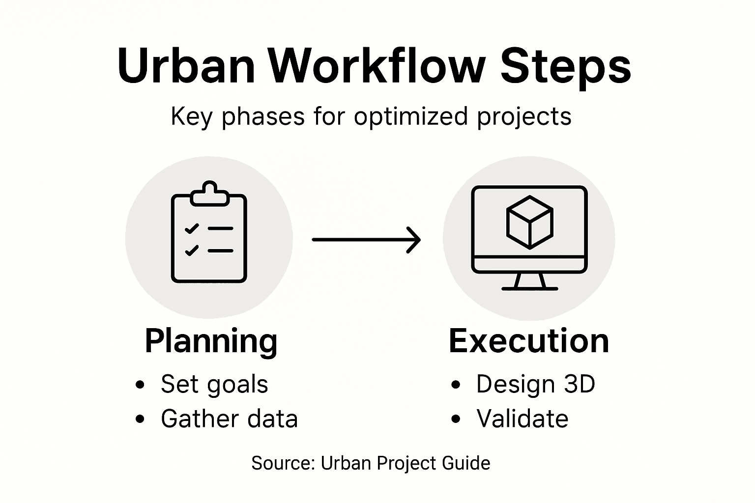
Step 1: Define project objectives and gather data
Successfully navigating urban development requires a strategic approach to establishing clear project objectives and collecting comprehensive data. Enhancing urban planning design starts with a methodical framework that transforms complex urban challenges into actionable insights.
Begin by conducting a detailed stakeholder analysis to understand the critical requirements of your urban development project. This involves engaging with multiple perspectives - from city administrators and local residents to environmental experts and infrastructure planners. Key steps include:
- Identify primary project goals
- Map stakeholder interests and potential impact zones
- Determine measurable project outcomes
- Establish preliminary success metrics
Data collection represents the foundational element of your urban planning workflow. Sustainable city development research emphasizes gathering information across multiple domains - demographic trends, environmental conditions, infrastructure capacity, and socioeconomic indicators. Your data collection strategy should encompass:
- Utilize geographic information systems (GIS)
- Conduct comprehensive spatial analysis
- Review existing urban development databases
- Collect real-time urban performance metrics
Critical urban planning insight: High-quality data transforms abstract concepts into concrete, actionable urban development strategies.
Pro tip: Invest in robust data verification processes and maintain flexible objective frameworks that can adapt to emerging urban challenges and technological innovations.
Step 2: Set up the digital planning environment
Creating an effective digital planning environment is crucial for transforming complex urban development projects into streamlined, data-driven initiatives. Algorithmic urban planning platforms now offer sophisticated tools that enable planners to simulate scenarios and optimize decision-making processes with unprecedented precision.
To establish your digital planning environment, begin by selecting integrated software platforms that support comprehensive urban analytics. Your technological infrastructure should include:
- Geospatial mapping tools
- Data visualization software
- Urban simulation platforms
- Cloud-based collaboration systems
The core of your digital environment requires data-driven urban design methodologies that support real-time information processing. Focus on creating an interconnected ecosystem that allows seamless data integration across multiple urban planning domains. Essential configuration steps include:
- Install compatible geographic information systems (GIS)
- Configure data input and visualization interfaces
- Establish secure cloud storage for project documents
- Set up multi-user access and permission protocols
Critical insight: A well-designed digital planning environment acts as a central nervous system for urban development projects.
Pro tip: Prioritize scalable and interoperable software solutions that can adapt to emerging technological innovations and integrate smoothly with existing urban planning infrastructures.
Step 3: Design urban concepts with 3D tools
Transforming urban planning requires mastering advanced computational generative design techniques that unlock unprecedented visualization capabilities. 3D modeling tools have revolutionized how urban planners conceptualize, analyze, and communicate complex spatial environments with remarkable precision and creativity.
Begin your design process by selecting robust 3D modeling platforms that support comprehensive urban planning workflows. Your toolkit should incorporate specialized features that enable detailed spatial exploration and scenario testing. Key capabilities to prioritize include:
- Parametric design interfaces
- Real-time rendering capabilities
- Geospatial mapping integration
- Advanced simulation tools
The core of effective 3D urban concept design involves translating abstract ideas into tangible, interactive models. Urban visualization technologies allow you to explore design iterations rapidly, testing multiple urban configurations with unprecedented flexibility. Essential design steps include:

Here’s a comparison of key technologies used throughout modern urban planning workflows:
| Technology Type | Primary Benefit | Typical Application |
|---|---|---|
| Geographic Information Systems (GIS) | Enhanced spatial data accuracy | Mapping city layouts and zoning |
| 3D Modeling Platforms | Realistic design visualizations | Developing and testing urban concepts |
| Cloud Collaboration Tools | Real-time multiuser access | Coordinating distributed teams |
| Urban Simulation Software | Scenario forecasting | Testing policy and growth options |
- Establish baseline topographical models
- Import existing infrastructure data
- Create multilayered design scenarios
- Generate comparative visualizations
Critical insight: 3D tools transform urban planning from static blueprints to dynamic, interactive design environments.
Pro tip: Develop a systematic approach to 3D modeling by creating modular design components that can be easily reconfigured and scaled across different urban planning scenarios.
Step 4: Analyze and optimize development scenarios
Navigating complex urban development requires mastering automated optimization models that transform raw data into strategic insights. By systematically evaluating multiple development scenarios, urban planners can make informed decisions that balance sustainability, economic feasibility, and social impact.
Begin your scenario analysis by establishing comprehensive evaluation criteria that align with your project’s core objectives. Your analytical framework should incorporate multiple dimensions of assessment, including:
- Environmental sustainability metrics
- Economic feasibility indicators
- Social impact parameters
- Infrastructure resilience factors
Urban analytics and generative design enable planners to conduct iterative scenario simulations that reveal nuanced potential outcomes. Essential optimization steps include:
- Define baseline performance metrics
- Generate multiple scenario variations
- Run computational impact simulations
- Compare and rank scenario performances
- Identify optimal development strategies
Critical insight: Scenario optimization transforms urban planning from speculative guesswork to data-driven strategic decision-making.
Pro tip: Develop a flexible scenario analysis template that allows quick recalibration of parameters, enabling rapid adaptation to emerging urban planning challenges.
Step 5: Validate results with stakeholder input
Transforming urban planning requires more than computational models - it demands meaningful engagement through participatory urban design methodologies. Effective stakeholder validation bridges technical analysis with community perspectives, ensuring your urban development strategies resonate with real-world needs and expectations.
Develop a comprehensive stakeholder engagement strategy that encompasses diverse perspectives and input channels. Your validation approach should prioritize inclusive communication and transparent feedback mechanisms:
- Host interactive workshop sessions
- Conduct digital survey platforms
- Organize neighborhood listening forums
- Create collaborative digital feedback interfaces
Stakeholder engagement processes enable urban planners to refine project scenarios through collective intelligence. Essential validation steps include:
- Prepare clear, accessible project summaries
- Design intuitive feedback collection tools
- Analyze qualitative and quantitative responses
- Integrate meaningful stakeholder recommendations
- Document and communicate validation outcomes
Critical insight: Stakeholder validation transforms urban planning from technical exercise to community-driven transformation.
Pro tip: Develop a structured feedback framework that allows stakeholders to provide contextual insights while maintaining clear evaluation parameters.
Step 6: Finalize and export urban project workflows
Transforming intricate urban planning scenarios into actionable deliverables requires precision and strategic computational design documentation. The final stage of your urban development workflow involves synthesizing complex analyses into comprehensive, shareable project outputs that can be seamlessly integrated across multiple planning platforms.
Prepare your project documentation with meticulous attention to interoperability and comprehensive information transfer. Your export strategy should encompass multiple format considerations:
- Generate standardized file formats
- Ensure cross-platform compatibility
- Maintain data integrity and resolution
- Create comprehensive metadata documentation
Workflow consolidation techniques enable smooth transition from conceptual design to practical implementation. Key export procedures include:
- Verify all computational model parameters
- Select appropriate export file types
- Run comprehensive data validation checks
- Generate detailed project documentation
- Archive original source files
Critical insight: Effective workflow finalization transforms complex urban design models into executable, shareable project blueprints.
Pro tip: Develop a consistent export protocol that automatically generates backup files and maintains version control to protect against potential data loss or inconsistencies.
The stages of urban planning involve unique challenges and focal points. See this high-level summary:
| Stage | Main Focus | Critical Stakeholder(s) |
|---|---|---|
| Objective & Data Definition | Goal setting, data collection | City government, Data analysts |
| Digital Environment Setup | Systems integration | IT staff, Urban planners |
| 3D Concept Design | Scenario modeling, iteration | Designers, Architects |
| Scenario Analysis & Optimization | Strategic evaluation | Economists, Environmental experts |
| Stakeholder Validation | Community feedback | Residents, Local organizations |
| Finalization & Export | Documentation, interoperability | Project managers, Legal advisors |
Streamline Your Urban Development Workflow with Advanced 3D Technology
Urban planners and development professionals face the challenge of transforming complex data and multi-stakeholder input into optimized, actionable projects. This guide highlights key hurdles such as integrating comprehensive spatial data, designing dynamic 3D models, and validating scenarios through stakeholder engagement. Achieving precise scenario optimization and seamless collaboration can feel overwhelming without the right tools.
At 3dcityplanner.com, you can overcome these challenges by leveraging a powerful digital platform that supports every stage of your urban development workflow. From automatic building generation and noise simulation to 4D planning timelines, the platform transforms static blueprints into interactive, data-driven models. With cloud collaboration and extensive global databases, you empower your team to make informed decisions and streamline stakeholder participation effortlessly.
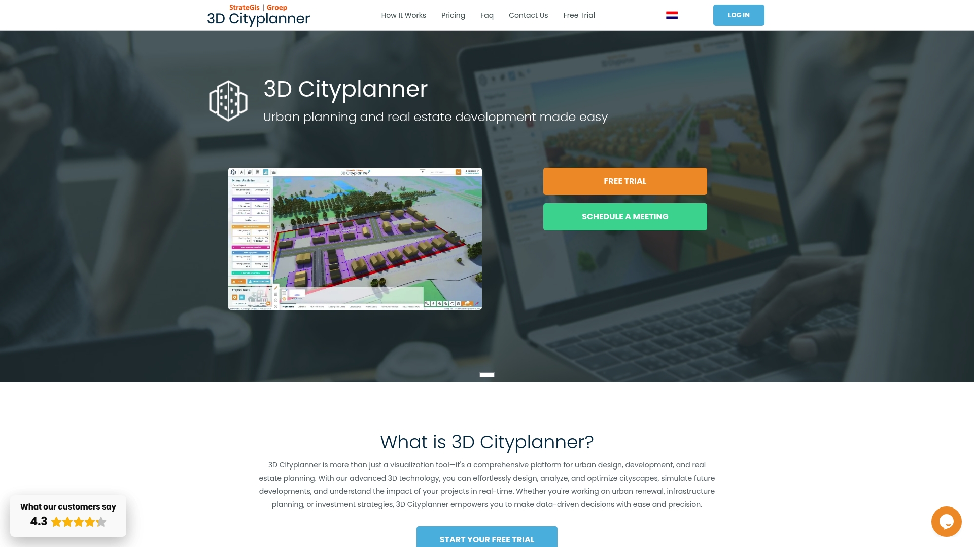
Elevate your urban development projects today by exploring how 3D concept design and comprehensive digital planning environments come together all in one place. Visit 3dcityplanner.com now to start a free trial and experience firsthand how you can optimize project outcomes with innovative technology tailored to your needs.
Frequently Asked Questions
What are the key objectives to define in the urban development workflow?
Defining key objectives is crucial for guiding your project. Begin by identifying primary project goals, mapping stakeholder interests, and establishing measurable outcomes to ensure a focused approach.
How can I effectively gather data for urban development projects?
Collecting comprehensive data involves utilizing geographic information systems (GIS) and reviewing existing urban development databases. Implement a structured data collection strategy within the first month to gather vital demographic, environmental, and socioeconomic information.
What software tools should I include in my digital planning environment?
Your digital planning environment should include geospatial mapping tools, data visualization software, and urban simulation platforms. Prioritize selecting integrated platforms that support seamless data integration to streamline your workflow within the initial setup phase.
How do I analyze and optimize different urban development scenarios?
To analyze and optimize scenarios, define a comprehensive set of evaluation criteria and generate multiple scenario variations. Run simulations to compare performances, allowing for strategic decision-making to enhance project outcomes effectively.
How can I engage stakeholders during the validation phase of urban planning?
Engaging stakeholders can be achieved by hosting interactive workshops and using digital survey platforms. Schedule validation sessions early in the project timeline to ensure that community feedback is incorporated into your final designs.
What steps should I take to finalize and export my urban planning project documentation?
Finalizing your project involves verifying model parameters and generating standardized file formats for documentation. Aim to complete this process within one week of reaching project completion to ensure that all necessary documents are ready for sharing and implementation.


