The role of 3D visualization in urban planning and design
3D visualization is defined as the process of creating realistic, interactive digital models from planning and architectural data, enabling planners, architects, and developers to understand spatial relationships before construction begins. The industry standard term for this practice within structured project workflows is Building Information Modelling (BIM), and the two disciplines are deeply connected. 3D visualization within BIM supports design validation, clash detection, and collaborative decision-making across all project phases. Used early and consistently, it is one of the most effective tools available for reducing project risk and improving design outcomes. 3D Cityplanner applies this principle directly, giving urban planning teams a browser-based environment to design, analyse, and compare spatial scenarios in three dimensions without specialist desktop software.
What are the key benefits of 3D visualization for urban planning?
The most measurable benefit of 3D visualization is risk reduction. Integrating 3D visualization early in the project lifecycle can reduce construction rework by up to 40%. That figure represents a significant saving on labour, materials, and programme time for any development of meaningful scale.
The advantages extend well beyond cost control:
- Clash detection and spatial validation. Identifying conflicts between structural, mechanical, and architectural elements in a 3D model costs a fraction of resolving them on site.
- Off-plan sales confidence. 3D visualization replaces buyer imagination with tangible digital experiences, giving buyers certainty about materials, scale, and layout before a single foundation is laid.
- Faster stakeholder approvals. Realistic visuals of building massing, public space, and greenery communicate intent far more clearly than technical drawings, reducing the number of revision cycles.
- Design quality improvement. Planners can test material finishes, façade treatments, and spatial proportions in context, catching aesthetic problems that 2D plans routinely miss.
Pro Tip: Use 3D visualization at feasibility stage, not just for final presentations. Early analytical use is the single biggest factor in reducing costly construction errors.
The impact on real estate development is particularly direct. Developers who present accurate digital walkthroughs of off-plan schemes report stronger buyer confidence and shorter sales cycles. The model becomes a sales tool, a design tool, and a risk management instrument simultaneously.

How does 3D visualization integrate with BIM and digital twins?
3D visualization does not sit in isolation. It functions as the interactive, human-readable layer on top of intelligent BIM models and data-rich digital twins. Understanding how these technologies connect explains why the role of 3D visualization has grown so central to modern urban development workflows.
The integration works across four distinct phases:
- Concept and feasibility. 3D models allow planners to test building massing, site coverage, and development capacity against GIS data before any detailed design work begins.
- Design development. Visual inspection of integrated BIM models enables multidisciplinary teams to identify clashes between structural, mechanical, and architectural elements before they reach construction.
- Stakeholder engagement. Interactive 3D environments replace static drawings in planning consultations, making it easier for non-technical audiences to engage with proposals and provide meaningful feedback.
- Facility management and lifecycle planning. Digital twins extend the value of 3D models beyond construction, providing a live reference for ongoing asset management and future redevelopment scenarios.
The digital twin concept is particularly significant. A well-executed 3D visualization strategy acts as a digital twin, allowing rapid changes to materials, colours, or lighting with minimal cost. This flexibility means planners can simulate dozens of scenarios, from altered building heights to revised public realm layouts, without commissioning new physical models or drawings.
| Approach | Primary use | Key limitation |
|---|---|---|
| Static 2D drawings | Regulatory submission | Poor spatial communication |
| Rendered 3D images | Client presentations | No interactivity or scenario testing |
| Interactive 3D models | Design validation and stakeholder engagement | Requires capable platform |
| Digital twin integration | Lifecycle planning and real-time scenario analysis | Data management complexity |
The table above shows why interactive 3D models and digital twins represent the current standard for serious urban development work. Static outputs remain useful for specific purposes, but they cannot match the analytical depth of a live, data-connected 3D environment.
What practical applications show the impact of 3D visualization on site analysis?
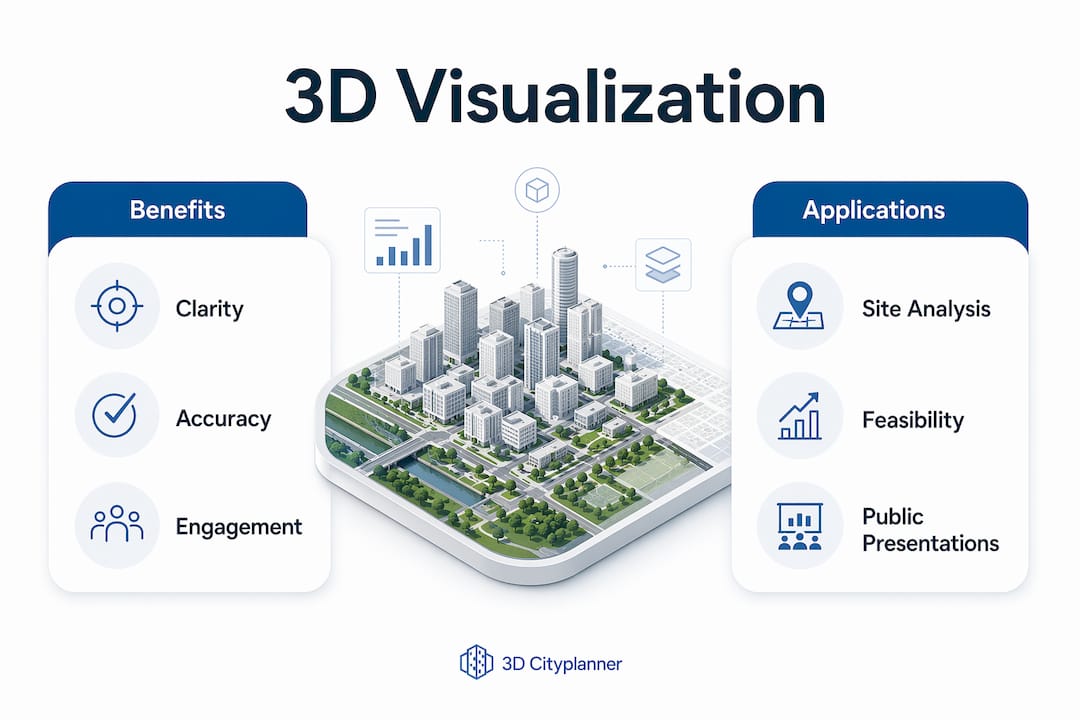
The most concrete demonstration of 3D visualization’s value comes from specific site analysis tasks. 3D visualization moves urban planning beyond taxing 2D data, making complex spatial decisions accessible through intuitive visual exploration. For planners and developers working on real sites, this translates into several practical capabilities.
Sunlight and daylight analysis is one of the clearest examples. A 3D city model with accurate building heights and orientations allows planners to run shadow studies across different times of day and seasons. This matters for residential amenity assessments, public realm quality, and planning authority requirements in many jurisdictions.
Visibility and sightline studies are equally straightforward in 3D. Planners can assess how a proposed building affects views from key public vantage points, which is critical for heritage settings and waterfront developments.
Zoning and land use compliance becomes far easier when regulatory boundaries and permitted building envelopes are overlaid directly onto a 3D site model. Teams using zoning analysis tools integrated with 3D visualization can identify compliance issues in minutes rather than days.
Building massing and parking layout optimisation benefit from 3D scenario comparison. Planners can test multiple massing options side by side, assessing development capacity, floor area ratios, and parking provision against site constraints simultaneously.
Pro Tip: Run at least three distinct massing scenarios in 3D before committing to a preferred option. The differences in development capacity and amenity impact are rarely obvious from 2D plans alone.
3D Cityplanner supports all of these applications within a single browser-based environment, combining GIS data, 3D city models, and automated area calculations. Planners can switch between scenarios, adjust building parameters, and share results with stakeholders without exporting files or installing additional software.
How is web-based 3D visualization reshaping urban planning in 2026?
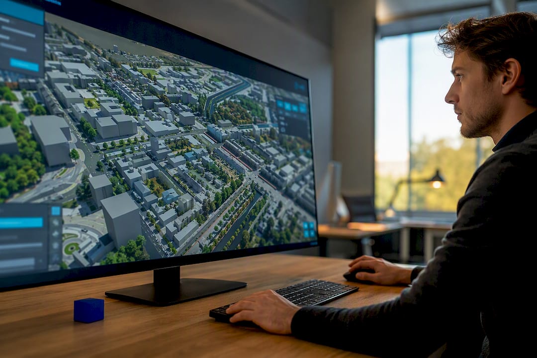
The most significant recent shift in 3D visualization is the move from specialist desktop software to capable, browser-based platforms. High-density 3D web visualizations can now handle thousands of data objects efficiently using advanced web technologies. This removes the hardware and licensing barriers that previously limited access to 3D planning tools.
Modern web stacks, including Three.js, React Three Fiber, and WebGPU, enable rich, interactive 3D views directly in a browser. These technologies allow urban planning platforms to render dense city models, complete with buildings, infrastructure, greenery, and public space, without requiring users to install or maintain desktop applications. Advanced browser-based 3D visualizations using instanced meshes and modern web APIs enable planners to handle high-density spatial data and collaborate widely.
The practical consequences for urban planning teams are substantial:
- Wider collaboration. Any stakeholder with a browser can view and interact with a 3D model, removing the need for specialist software licences across large project teams.
- Faster iteration. Cloud-based platforms update in real time, so design changes are immediately visible to all team members regardless of location.
- Lower barriers to entry. Smaller municipalities and planning consultancies can access professional-grade 3D tools without significant capital investment in hardware or software.
- Better public engagement. Web-based 3D models can be embedded in consultation portals, allowing residents and community groups to explore proposals at their own pace.
“3D visualization bridges the gap between complex spatial data and human intuition, enabling decision-makers to navigate and understand real-world landscapes.” — InAirspace
3D Cityplanner is built on this web-based model. Planners access interactive 3D urban design tools directly in their browser, with GIS data, scenario planning, and project calculations integrated into a single environment. The platform is designed for the full range of urban development professionals, from municipal planners running feasibility studies to developers preparing planning applications.
Key takeaways
3D visualization is most valuable when used analytically from the earliest project stage, not as a final presentation tool, because that is when it reduces risk, accelerates approvals, and improves design quality most effectively.
| Point | Details |
|---|---|
| Start early in the project lifecycle | Using 3D visualization at feasibility stage reduces construction rework by up to 40%. |
| Integrate with BIM and digital twins | Connecting 3D models to BIM data enables clash detection, design validation, and lifecycle planning. |
| Apply to site analysis tasks | Sunlight studies, visibility analysis, and zoning compliance are faster and more accurate in 3D. |
| Use web-based platforms for collaboration | Browser-based tools remove software barriers and allow all stakeholders to engage with 3D models directly. |
| Combine scenario planning with GIS data | Overlaying GIS layers on 3D city models gives planners accurate, data-driven comparisons between design options. |
Why I think we underestimate 3D visualization as an analytical tool
The conversation about 3D visualization in urban planning tends to focus on aesthetics. Clients see a beautiful render and feel reassured. Developers use walkthroughs to sell off-plan units. These are genuine benefits, but they represent a fraction of what the technology actually delivers.
The more significant value is analytical. When you run a sunlight study across a proposed residential block, or overlay a zoning envelope onto a 3D city model to check development capacity, you are not producing a pretty picture. You are catching problems that would otherwise surface during construction or planning examination, at far greater cost.
The adoption challenge I see most often is not technical. Most platforms are accessible enough. The real barrier is workflow habit. Teams that have always used 2D drawings for early-stage analysis tend to introduce 3D only at presentation stage, which means they miss the risk-reduction window entirely. Shifting that habit requires deliberate effort, usually from a project lead who has experienced the difference firsthand.
The future direction is clear. Digital twin integration and real-time data feeds will make 3D environments progressively more useful as living planning tools rather than static snapshots. Platforms that combine GIS data, scenario modelling, and collaborative access in a single browser-based environment are already demonstrating what that future looks like. The planners and developers who build 3D analysis into their standard workflow now will be significantly better positioned as these capabilities mature.
— Anne Dullemond
3D Cityplanner: browser-based 3D visualization for urban planning teams
3D Cityplanner gives urban planners, architects, and developers a practical environment for 3D scenario planning and site analysis without complex software installations. The platform combines GIS data, 3D city models, daylight simulation, zoning analysis, and digital twin capabilities in a single browser-based tool.
Teams use 3D Cityplanner to run feasibility studies, compare massing options, assess development capacity, and prepare stakeholder presentations, all within one environment. The digital twin city features allow planners to simulate multiple scenarios rapidly and share results with decision-makers directly from the browser. For planning consultancies and municipalities looking to improve project clarity and accelerate approvals, 3D Cityplanner offers a free trial to get started without commitment.
FAQ
What is the role of 3D visualization in urban planning?
3D visualization converts complex spatial data and planning proposals into interactive, realistic digital models that planners, developers, and stakeholders can understand and evaluate. Its primary role is to improve decision-making accuracy and reduce project risk before construction begins.
How does 3D visualization reduce construction costs?
Using 3D visualization early in the project lifecycle for clash detection and spatial validation can reduce construction rework by up to 40%. Identifying conflicts in a digital model costs significantly less than resolving them on site.
What is the difference between 3D visualization and a digital twin?
3D visualization produces an interactive visual model of a design or site. A digital twin extends this by connecting the model to live data feeds, enabling ongoing simulation, monitoring, and scenario testing throughout a project’s lifecycle.
Why do real estate developers use 3D visualization for off-plan sales?
3D visualization replaces buyer imagination with accurate digital representations of materials, scale, and spatial layout. This gives buyers confidence in off-plan purchases and reduces the risk of disputes or sales failures after construction.
Can 3D visualization be used for zoning and regulatory compliance?
Yes. Overlaying regulatory zoning boundaries and permitted building envelopes onto a 3D site model allows planners to identify compliance issues quickly and present proposals to planning authorities with greater clarity.