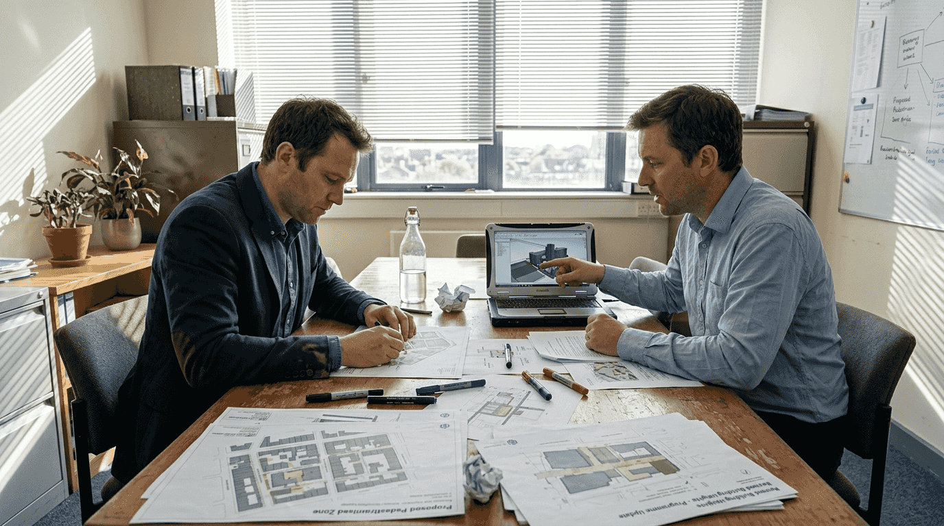
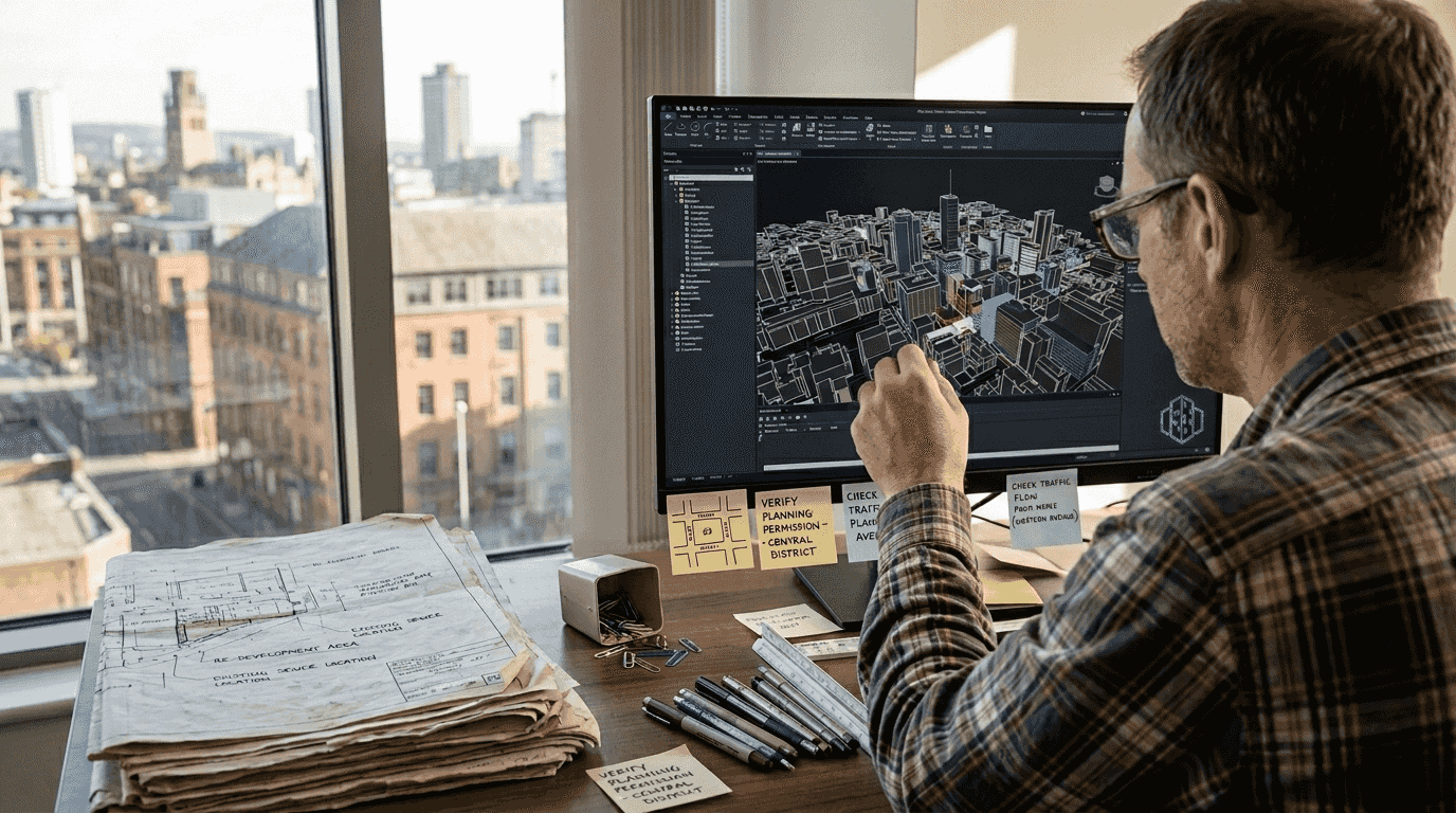
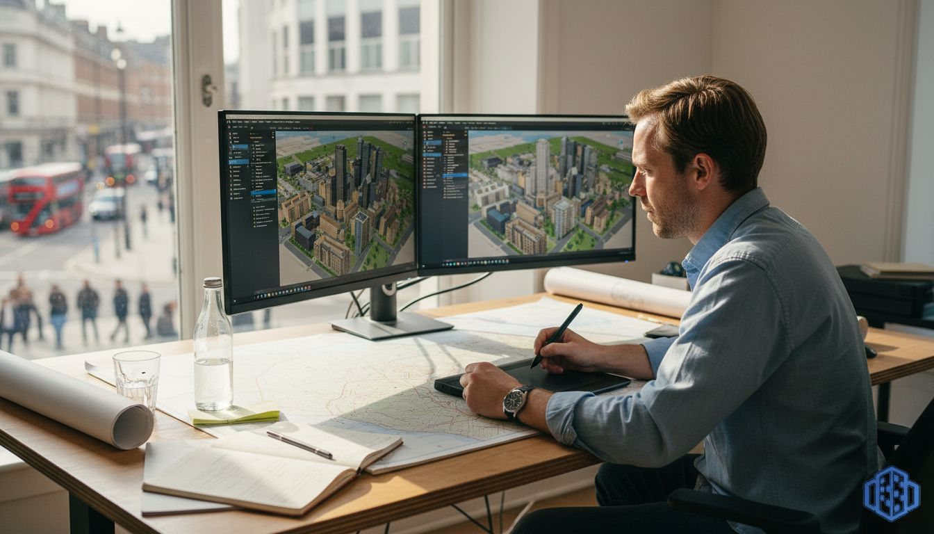
Latest

The role of 3D models in architecture and urban planning

The role of 3D models in architecture and urban planning

Three-dimensional models have evolved from optional visualisation aids to mission-critical infrastructure for architectural and urban planning projects in 2026. Recent empirical datasets demonstrate high-accuracy building modelling benchmarks covering 31 million structures, whilst bi-directional morphology metrics now enable automated performance-driven design at unprecedented scale. This article explores evidence-based insights into how

By Anne Dullemond
Why optimise city planning: 3D tools for better design

Why optimise city planning: 3D tools for better design

Urban planners often assume traditional methods suffice for modern challenges, yet inefficiencies persist. Outdated workflows create uncertainty, delay decisions, and miss sustainability opportunities. Advanced 3D digital tools fundamentally transform this landscape by enabling rapid scenario testing, data-driven optimisation, and immersive stakeholder engagement. This guide explores how leveraging these technologies empowers

By Anne Dullemond
How to plan urban redevelopment with 3D digital twins

How to plan urban redevelopment with 3D digital twins

Urban redevelopment demands sophisticated planning to balance economic viability, environmental sustainability, and community needs. Traditional approaches struggle with the complexity of integrating multiple data streams, stakeholder perspectives, and long-term operational considerations. Digital twin technology offers urban planners and developers an advanced framework for visualising, simulating, and optimising redevelopment scenarios before

By Anne Dullemond
Why use digital urban planning for smarter design in 2026

why use digital urban planning

Why use digital urban planning for smarter design in 2026

Projects using 3D visualisation see nearly 30% fewer design revisions, yet many planners remain anchored to traditional methods. Digital urban planning transforms spatial development by integrating real-time simulations, collaborative platforms, and immersive visualisations that accelerate decisions and reduce costly errors. This article explores how modern digital tools optimise urban project

By Anne Dullemond
Master urban space modelling with advanced 3D tools in 2026

how to model urban spaces

Master urban space modelling with advanced 3D tools in 2026

Urban planners grapple with integrating disparate GIS datasets, coordinating stakeholders across departments, and managing complex zoning constraints when modelling urban environments. These challenges contribute to 40% of urban projects facing delays due to model inaccuracies or collaboration breakdowns. Advanced 3D modelling tools now streamline these workflows, enabling you to prepare

By Anne Dullemond
Leverage 3D modelling for smarter city planning in 2026

role of 3d modeling in city planning

Leverage 3D modelling for smarter city planning in 2026

Urban planners now discover that 3D visualisation tools boost stakeholder engagement by up to 60%, transforming how cities communicate complex designs. This revolution addresses a critical challenge: making intricate urban scenarios accessible to diverse audiences whilst supporting sustainable, data-driven decisions. Explore how advanced 3D modelling reshapes EU city planning through

By Anne Dullemond
How to Plan City Layouts with 20% Faster Project Completion

how to plan a city layout

How to Plan City Layouts with 20% Faster Project Completion

Urban planners often struggle to communicate complex designs effectively while engaging stakeholders meaningfully. Traditional methods leave communities confused and projects delayed. This guide demonstrates how advanced 3D tools streamline city layout planning, reduce project timelines by 20%, and boost community engagement by up to 60% through interactive visualization that transforms

By Anne Dullemond
3D Site Planning Step by Step: Boost Approval 40% Faster

3d site planning step by step

3D Site Planning Step by Step: Boost Approval 40% Faster

Many urban planners and architects struggle with fragmented data sources, software complexity, and unclear stakeholder communication when developing site plans in three dimensions. This step-by-step guide delivers a structured approach integrating essential tools, detailed data analysis, strategic software selection, and iterative design principles. You will discover how to create realistic,

By Anne Dullemond