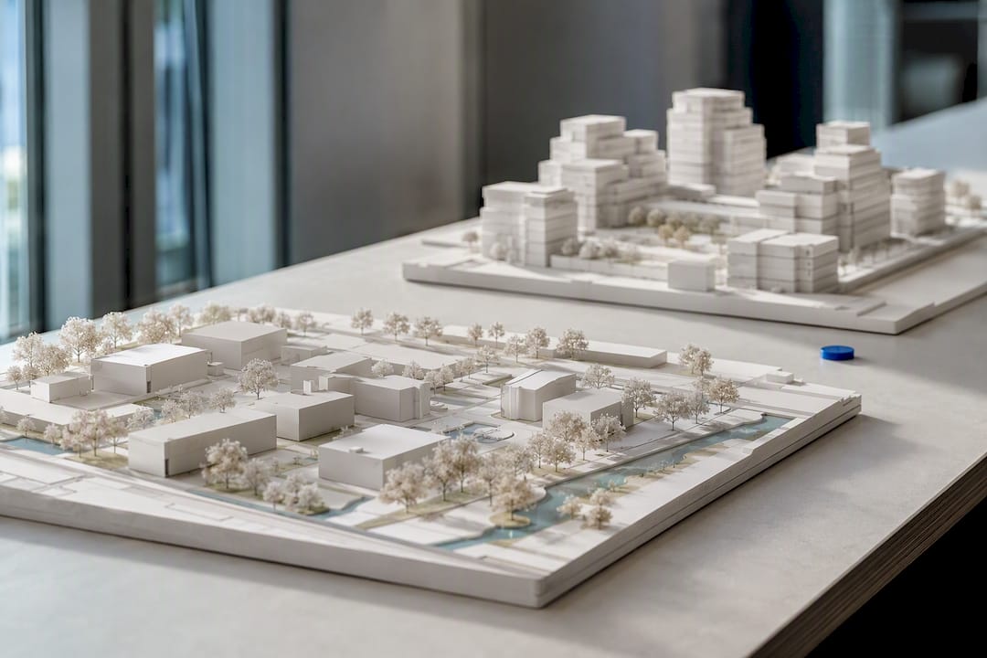
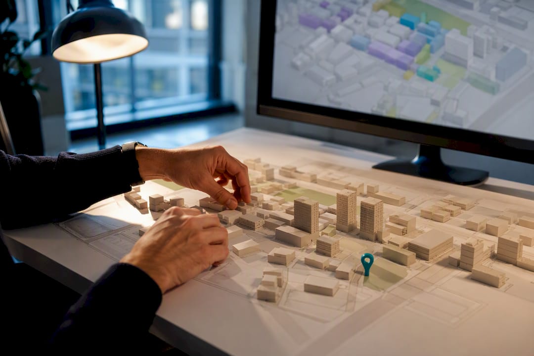
Redevelopment scenarios for planners: six steps with 3D Cityplanner
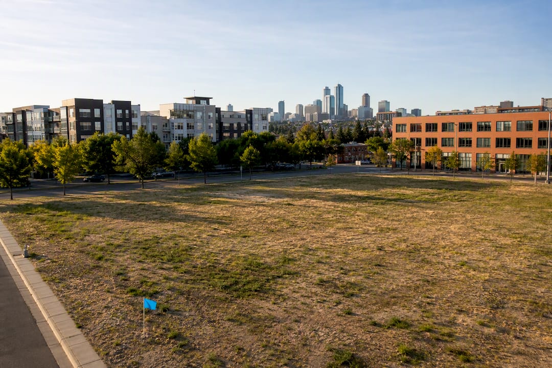
Redevelopment scenarios are structured, alternative future layouts that let planners test land-use, phasing and financing choices before committing to detailed design. They reduce risk by exposing trade-offs early, give stakeholders a shared language for debate, and align funding decisions with realistic delivery timelines. Bodies from the Planbureau voor de Leefomgeving to UN-Habitat treat scenario work as core planning practice, and modern browser-based digital twin platforms now make that practice faster to run and easier to communicate.
TL;DR:Extrapolative scenarios are best used when policies are stable and markets are predictable, usually covering a 10 to 15-year horizon.Building scenarios should focus on early project stages such as feasibility and public consultation, before detailed design or funding efforts.A typical scenario workflow involves defining the decision, identifying drivers, creating narratives, developing 3D massing models, quantifying KPIs, and refining through stakeholder workshops.Digital twin platforms accelerate scenario cycles by automating massing, sunlight analysis, KPI export, and stakeholder presentation, reducing weeks to days.Always treat scenarios as exploratory tools that expose assumptions, and plan review points six to twelve months after implementation to update insights and maintain relevance.
3D CityplannerTest Redevelopment Scenarios in 3D3D Cityplanner helps planners design, analyse and compare redevelopment scenarios using spatial data, 3D models and project calculations.Explore 3D Cityplanner
Table of Contents
- What types of redevelopment scenarios exist?
- When should you build redevelopment scenarios?
- How do you build a redevelopment scenario step by step?
- How do you evaluate and compare redevelopment scenarios?
- How does a digital twin speed up scenario cycles?
- Why scenarios are governance tools, not forecasts
- Put scenario planning into practice with 3D Cityplanner
- Sources
- FAQ
What types of redevelopment scenarios exist?
Not every project needs the same kind of scenario. Choosing the wrong archetype wastes workshop time and produces outputs decision-makers cannot actually use. Scenario development methods generally split into three families, sometimes blended into a fourth, according to the Transitions in Practice framework widely used in Dutch planning practice.
- Extrapolative scenarios project current trends forward. They answer “what happens if nothing changes?” and typically cover a 10 to 15 year horizon, producing population and demand curves, land-use projections and simple capacity tables.
- Normative scenarios work backwards from a policy target, such as a housing quota or a carbon goal. They ask “what must happen to reach this outcome?” and generate target-year masterplans with milestone checkpoints.
- Exploratory (visioning) scenarios map a range of plausible futures shaped by external drivers like migration, climate policy or market shocks. PBL’s national scenarios to 2049 are a well-known exploratory example, built precisely to stress-test uncertainty rather than predict a single outcome.
- Hybrid scenarios combine trend data with a normative target and exploratory sensitivity ranges, useful when a site faces both firm policy constraints and genuine market unpredictability.
As a rule of thumb, use extrapolative work when policy is settled and markets are stable, normative work when a political target already exists, and exploratory work when uncertainty is high on both fronts.
When should you build redevelopment scenarios?
Scenario work earns its keep at specific decision points, not throughout a project continuously. Early feasibility studies benefit most, because scenarios let a team compare land-use mixes before architectural investment begins. Masterplanning stages use them to test capacity against infrastructure limits, and public consultation rounds rely on scenarios to show residents genuine alternatives rather than a single fixed proposal. Infrastructure sequencing decisions, particularly phased utility upgrades, also depend on scenario comparisons to avoid stranded assets.
The practical benefits are concrete:
- Testing development capacity against zoning envelopes before detailed design locks in assumptions.
- Comparing phasing options so funding tranches can be matched to delivery milestones.
- Unlocking public finance by showing funders a credible, appraised range of options rather than one untested plan.
- Making trade-offs transparent for council members and residents who must approve a preferred direction.
Before starting, confirm three things: what data you already hold (population, travel demand, zoning layers), which decision window you’re serving (a council vote, a funding deadline), and which stakeholders must sign off before the scenario work is considered valid.
Pro Tip: Check the local regulation portal for statutory constraints during the framing stage, not after you’ve built your first massing model. Discovering a zoning cap in week six is far more expensive than discovering it in week one.
How do you build a redevelopment scenario step by step?
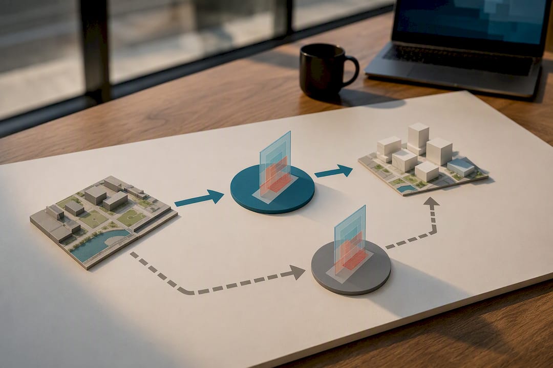
A workable scenario method has six stages, each with a distinct output. Skipping stages, especially quantification, is the most common reason scenario work fails to persuade decision-makers.
- Frame the question. Define what decision the scenarios must inform, such as “should this brownfield site prioritise housing density or public space?” Output: a one-paragraph brief.
- Identify drivers. List the forces shaping the outcome, drawing on population forecasts, travel demand models and market signals. Output: a driver matrix ranked by uncertainty and impact.
- Sketch narratives. Write two to four short storylines, each describing a distinct future. Output: narrative texts of a few paragraphs each, not full reports.
- Build spatial and 3D massing. Translate each narrative into a rough layout using GIS base layers, zoning boundaries and building footprints. Output: comparable 3D massing models.
- Quantify with KPIs. Attach figures to each scenario: dwelling units, floor area, parking ratios, estimated infrastructure cost. Output: a KPI comparison table.
- Test and iterate with stakeholders. Run a workshop where participants react to the visual and numeric outputs, then revise. Output: a refined shortlist, usually two or three scenarios.
Workshops work best with 8 to 15 participants mixing technical staff, elected representatives and community voices, run in sessions of two to three hours with a facilitator dedicated solely to keeping discussion tied to the KPI table rather than abstract preference.
How do you evaluate and compare redevelopment scenarios?
Comparing scenarios properly means resisting the urge to reduce everything to a single forecast number. Multicriteria scoring, weighing several metrics side by side, gives decision-makers a fuller picture than one headline figure ever could.
Useful metrics include:
- Development capacity: net dwelling units or floor area achievable under each layout.
- Transport demand: expected trip generation against existing road and transit capacity.
- Environmental performance: sunlight access to public space, greenspace ratios, and shading impact on neighbouring plots.
- Infrastructure cost proxies: rough utility and access-road cost bands per scenario, sufficient for comparison even without full engineering estimates.
Phasing should be tied to explicit triggers, a funding tranche released, a remediation milestone cleared, rather than fixed calendar dates that ignore real-world delays. Applied projects such as the Fort de Gagel redevelopment show this pattern clearly: several variants were tested for conceptual feasibility, then narrowed through workshops and appraisal before a phased preferred option emerged. Sensitivity analysis, running each scenario against optimistic and pessimistic assumptions, tends to reveal more about real risk than any single-point forecast, a lesson infrastructure planning practice reinforces repeatedly.
How does a digital twin speed up scenario cycles?
Manually redrawing massing models for every scenario variant is the single biggest time drain in traditional scenario work. A browser-based digital twin shortens that cycle by automating the parts that used to eat entire weeks.
- Automated massing generation lets a team produce comparable building volumes across several scenarios in one session rather than several.
- Sunlight and visibility analysis runs directly on the 3D model, showing how a taller block in one scenario shades a neighbouring park compared with a lower-density alternative.
- KPI exports turn dwelling counts, floor area and parking ratios into a comparison table without manual recalculation.
- Stakeholder-ready views combine massing, phasing maps and KPI summaries into a single screen for workshop sessions, which supports the kind of urban scenario modelling that keeps discussion grounded in numbers rather than impressions.
Pro Tip: Clean your GIS base layers, parcel boundaries, zoning codes, existing building footprints, before importing them. Mismatched coordinate systems are the most common reason a first scenario model looks wrong on-screen.
Why scenarios are governance tools, not forecasts
Treat every scenario as exploratory, never predictive. The value lies in exposing assumptions, not in guessing the future correctly. Report your data sources, driver assumptions and uncertainty ranges openly, because a scenario nobody can interrogate carries no real authority. Build in a review point, six to twelve months after adoption, to update assumptions and confirm the monitoring metrics are still being tracked. A scenario that’s never revisited quietly becomes a fiction.
— Anne Dullemond
Put scenario planning into practice with 3D Cityplanner
Such planning platforms give teams a faster route to comparable, decision-ready scenarios than manual GIS workflows or static masterplan drawings, particularly when tight deadlines leave little room for redrawing massing by hand.
These platforms combine automated area and building generation, GIS data import, side-by-side scenario comparison and KPI exports, so scenario methods can run inside one interface rather than across several disconnected tools. Teams working on early feasibility studies, masterplans or public consultation packages can test capacity, sunlight impact and infrastructure cost proxies without rebuilding a model for every variant. If your next project needs two or three defensible redevelopment options on the table within weeks rather than months, start a trial to test your own site model and see how the massing and KPI outputs hold up against your current workflow.
Sources
For policy-level scenario examples, consult PBL’s national scenarios. For planning principles, see the UCLG/UN-Habitat guidelines. For statutory checks, use the local regulation portal.
- Scenario’s voor stedelijke ontwikkeling, infrastructuur en mobiliteit — PBL
- Scenario ontwikkeling — Transitions in Practice
- Lokaleregelgeving
- Scenario‑ontwerp en haalbaarheidsonderzoek herbestemming Fort de Gagel — ErfgoedWerf
FAQ
What are the steps of scenario planning?
The core steps are framing the decision question, identifying drivers, sketching narratives, building spatial and 3D massing, quantifying KPIs, then testing and refining with stakeholders in workshops.
What are the main types of redevelopment scenarios?
The three core types are extrapolative (trend-based), normative (target-based) and exploratory (uncertainty-based), with hybrid approaches blending elements of each depending on how settled policy and markets are.
How many scenarios should a project build?
Most practitioners work well with three: a baseline trend case, an optimistic or target case, and a constrained or stress case, each paired with three to five core KPIs for rapid comparison.
How do I start building a simple redevelopment scenario?
Start by framing one clear decision question, then sketch two or three short narratives and translate each into a basic massing model using GIS base layers before adding KPI figures for comparison, a workflow. Tools like 3D Cityplanner can accelerate considerably.
How reliable are long-term redevelopment scenarios for 2050?
Long-term scenarios, including PBL’s work to 2049, are built to explore plausible futures under uncertainty, not to predict a single fixed outcome, so treat any far-future projection as a range of possibilities rather than a forecast.