7 Essential Urban Development Strategies for Planners
Urban planners face constant pressure to balance rapid development with environmental responsibility, community needs and technological progress. Finding the right methods can feel overwhelming when you want to build cities that are both functional and sustainable. The challenge often lies in turning big ambitions into real solutions that work for diverse stakeholders and local conditions.
This list explores practical tools and techniques that address current gaps in expert participation, sustainability integration and collaborative planning highlighted by global research. You’ll discover actionable ways to use 3D visualisation, data-driven analysis and inclusive digital platforms that support better decision making and public engagement. Get ready to uncover specific strategies that move urban development beyond theory and into successful practice.
Table of Contents
- Incorporate 3D Visualisation For Accurate Planning
- Use Data-Driven Site Analysis Techniques
- Apply Sustainable Design Principles
- Integrate Stakeholder Collaboration Tools
- Leverage Real-Time Scenario Modelling
- Optimise Transport And Infrastructure Networks
- Utilise Automated Building Generation And Simulation
Quick Summary
| Takeaway | Explanation |
|---|---|
| 1. Implement 3D visualisation for planning | 3D visualisation enhances understanding of urban environments, improves stakeholder communication, and aids in environmental assessments. |
| 2. Leverage data-driven analysis techniques | Data-driven methodologies identify strategic urban development opportunities by integrating various data sources and advanced mapping techniques. |
| 3. Apply sustainable design principles | Sustainable urban design focuses on ecological health and community well-being through strategies like reducing carbon footprints and enhancing green infrastructure. |
| 4. Use collaboration tools for stakeholder engagement | Collaborative platforms create transparency in urban planning, encouraging inclusive input and fostering effective communication among various stakeholders. |
| 5. Optimise transport and infrastructure networks | Intelligent transport systems improve urban mobility by integrating technology, prioritising sustainability, and enhancing community connection. |
1. Incorporate 3D Visualisation for Accurate Planning
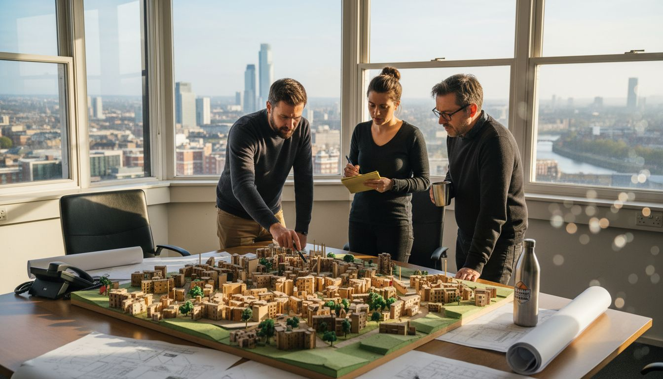
Urban planners today have unprecedented opportunities to transform complex spatial analysis through advanced 3D visualisation technologies. By integrating sophisticated digital modelling techniques, professionals can create highly accurate representations of urban environments that enable precise decision making.
The power of 3D visualisation extends far beyond traditional two-dimensional mapping. Systematic urban planning research demonstrates that three-dimensional models provide comprehensive insights into spatial relationships, infrastructure interactions, and potential development scenarios.
Key benefits of 3D visualisation include:
- Enhanced spatial understanding of urban landscapes
- Improved communication with stakeholders
- More accurate environmental impact assessments
- Precise volume and density calculations
- Real-time simulation of proposed urban changes
Implementing 3D visualisation requires selecting appropriate digital platforms that support high-resolution modelling and offer intuitive interaction capabilities. Urban planners should prioritise tools that allow:
- Seamless data integration from multiple sources
- Realistic terrain and architectural rendering
- Dynamic scenario modelling
- Collaborative sharing and annotation features
3D visualisation transforms abstract planning concepts into tangible, comprehensible urban landscapes.
Precision matters. By utilising drone imagery and advanced geospatial technologies, planners can generate pixel-perfect urban representations that capture minute architectural and infrastructural details.
Pro tip: Invest in training your team on 3D visualisation software to maximise technological capabilities and enhance project outcomes.
2. Use Data-Driven Site Analysis Techniques
Urban planners are increasingly leveraging sophisticated data analysis techniques to transform complex site assessments into strategic development opportunities. By embracing comprehensive data-driven methodologies, professionals can make more informed decisions about urban landscape potential.
Modern site analysis transcends traditional mapping by integrating multiple data sources and advanced computational techniques. Data-driven urban development enables planners to understand spatial dynamics with unprecedented precision and depth.
Key components of effective data-driven site analysis include:
- Geospatial mapping technologies
- Advanced satellite and aerial imagery analysis
- Demographic and socioeconomic data integration
- Climate and environmental impact assessments
- Infrastructure connectivity evaluations
Successful implementation requires a systematic approach:
- Collect comprehensive baseline data
- Utilise advanced geospatial mapping tools
- Integrate multiple data streams
- Conduct predictive spatial modelling
- Validate findings through cross-referencing
Data transforms abstract urban spaces into intelligible, actionable landscapes.
Precision analytics can reveal hidden opportunities within seemingly unremarkable urban areas. By examining granular data points, planners can identify potential development zones that traditional assessments might overlook.
Pro tip: Invest in interdisciplinary training that combines spatial analysis skills with technological proficiency to enhance your data interpretation capabilities.
3. Apply Sustainable Design Principles
Sustainable urban design represents a transformative approach to creating resilient, environmentally conscious cities. Urban planners now recognise that holistic design strategies can simultaneously address ecological challenges and improve community quality of life.
Sustainable urban planning integrates multiple dimensions of environmental and social considerations, moving beyond traditional development paradigms. By implementing comprehensive design principles, professionals can create urban landscapes that are adaptive, efficient, and responsive to emerging global challenges.
Key sustainable design principles include:
- Minimising carbon footprint
- Maximising green infrastructure
- Promoting renewable energy integration
- Enhancing biodiversity
- Creating walkable urban environments
- Implementing circular economy concepts
Effective sustainable design requires a strategic approach:
- Conduct comprehensive environmental impact assessments
- Engage local community stakeholders
- Prioritise resource-efficient technologies
- Design for climate resilience
- Integrate nature-based solutions
Sustainable design transforms urban spaces from mere infrastructural entities into living ecological systems.
Ecological urbanism represents a paradigm shift in how we conceptualise city development. By viewing urban environments as interconnected ecosystems, planners can create more responsive and adaptive urban landscapes.
Pro tip: Develop interdisciplinary collaboration skills to effectively integrate sustainable design principles across different urban planning domains.
4. Integrate Stakeholder Collaboration Tools
Modern urban planning demands more than traditional top-down approaches. Collaborative digital platforms are transforming how city professionals engage with communities, stakeholders, and decision makers.
Urban planning collaboration software enables transparent, inclusive processes that bridge communication gaps between diverse urban development participants. These sophisticated tools democratise planning by providing accessible, interactive environments for collective input and strategic dialogue.
Key features of effective collaboration tools include:
- Real-time geospatial data sharing
- Interactive comment and feedback mechanisms
- Multi-stakeholder project visualisation
- Transparent decision-tracking systems
- Secure document management
- Virtual meeting and annotation capabilities
Successful implementation involves:
- Selecting user-friendly platforms
- Training all stakeholder groups
- Establishing clear communication protocols
- Ensuring data privacy and security
- Creating inclusive participation frameworks
Collaboration transforms complex urban challenges into collective problem-solving opportunities.
Digital participation frameworks represent a paradigm shift in urban development. By democratising planning processes, cities can create more representative and responsive infrastructural solutions.
Pro tip: Prioritise tools with intuitive interfaces and comprehensive training resources to maximise stakeholder engagement and platform adoption.
5. Leverage Real-Time Scenario Modelling
Urban planning has entered a transformative era where predictive digital technologies enable unprecedented strategic insights. Real-time scenario modelling allows professionals to simulate complex urban developments with remarkable precision and adaptability.
Urban planning simulations provide dynamic environments where planners can test multiple development scenarios instantaneously. These sophisticated tools transform abstract concepts into tangible, analysable urban landscapes.
Key advantages of real-time scenario modelling include:
- Rapid assessment of potential urban interventions
- Minimising financial and infrastructural risks
- Visualising complex spatial interactions
- Enabling data-driven decision making
- Supporting sustainable urban development strategies
- Facilitating multi-stakeholder communication
Effective implementation requires:
- Selecting robust computational platforms
- Integrating comprehensive geospatial datasets
- Developing nuanced simulation parameters
- Training interdisciplinary teams
- Establishing iterative evaluation protocols
Real-time modelling transforms urban planning from reactive to proactive strategy.
Computational urban dynamics represent a paradigm shift in understanding complex city systems. By generating multiple potential futures, planners can make more informed, resilient decisions.
Pro tip: Invest in continuous professional development to stay current with emerging simulation technologies and computational urban modelling techniques.
6. Optimise Transport and Infrastructure Networks
Modern urban development demands sophisticated approaches to transportation planning that balance efficiency, sustainability, and community needs. Intelligent infrastructure networks represent the cornerstone of responsive, adaptive urban environments.
Urban traffic simulation enables planners to model complex mobility ecosystems with unprecedented precision. By understanding intricate transportation dynamics, cities can create more connected and resilient infrastructure systems.
Key strategies for optimising transport networks include:
- Implementing multimodal transportation systems
- Integrating intelligent traffic management technologies
- Prioritising sustainable mobility options
- Developing data-driven infrastructure planning
- Creating pedestrian and cyclist-friendly urban designs
- Reducing carbon emissions through smart routing
Successful network optimisation requires:
- Comprehensive data collection
- Advanced predictive modelling
- Stakeholder engagement
- Continuous performance monitoring
- Adaptive infrastructure design
Intelligent transportation systems transform urban mobility from disconnected infrastructure to integrated, responsive networks.
Adaptive mobility frameworks provide dynamic solutions that respond to changing urban populations and technological innovations. By embracing flexible, technology-enabled approaches, planners can create more efficient and sustainable transportation ecosystems.
Pro tip: Develop cross-disciplinary collaboration skills to effectively integrate technological, environmental, and social considerations in transportation network design.
7. Utilise Automated Building Generation and Simulation
Urban planners are entering a transformative era where computational design technologies enable rapid, precise architectural modelling. Automated building generation represents a quantum leap in urban development strategy and implementation.
3D city modeling tools provide unprecedented capabilities for simulating complex architectural environments with remarkable accuracy and efficiency. These sophisticated platforms allow professionals to generate, analyse, and optimise building designs in unprecedented detail.
Key benefits of automated building generation include:
- Rapid prototype development
- Precise volumetric calculations
- Enhanced design iteration capabilities
- Reduced computational time
- Improved environmental performance assessment
- Comprehensive structural analysis
Successful implementation requires:
- Advanced computational infrastructure
- Robust geospatial datasets
- Comprehensive simulation parameters
- Interdisciplinary technical skills
- Continuous learning and adaptation
Automated simulation transforms abstract architectural concepts into actionable, data-driven design strategies.
Digital architectural ecosystems represent a paradigm shift in urban design methodologies. By integrating computational intelligence, planners can create more responsive, sustainable building environments.
Pro tip: Invest in continuous professional development to master emerging computational design technologies and maintain competitive technological expertise.
Below is a comprehensive table summarising the key insights, strategies, and techniques outlined throughout the article.
| Topic | Description | Key Considerations |
|---|---|---|
| 3D Visualisation | Advanced three-dimensional modelling aids in urban planning through precise visual representation. | Utilise tools with high-resolution capabilities and prioritise user training for optimal results. |
| Data-Driven Site Analysis | Leveraging comprehensive data methodologies enhances site evaluations and enables informed decisions. | Achieve accuracy by integrating diverse data streams and employing predictive analysis tools. |
| Sustainable Design Principles | Implementing eco-conscious design strategies enhances the resilience and ecology of urban environments. | Prioritise stakeholder engagement and resource-efficient solutions during project planning phases. |
| Stakeholder Collaboration Tools | Utilising collaborative platforms fosters inclusive urban planning processes with multiple parties effectively communicated with. | Ensure platform usability and data security to enhance overall participation and satisfaction. |
| Real-Time Scenario Modelling | Predictive digital technologies allow for dynamic and instantaneous testing of urban development scenarios. | Establish projects through robust platforms combined with cross-disciplinary expertise for effective modelling experiences. |
| Transport and Infrastructure | Optimising mobility networks through multimodal and data-driven strategies supports sustainable and efficient urban connectivity. | Combine predictive modelling with adaptive infrastructure designs to address evolving urban dynamics effectively. |
| Automated Building Generation | Advanced computational design systems enable rapid simulation and analysis of architectural and infrastructural developments. | Leverage continuous technology updates and robust datasets to ensure precise and optimised building solutions. |
Unlock the Future of Urban Planning with Advanced 3D Tools
Urban planners face the critical challenge of transforming complex strategies into actionable, precise developments. From integrating 3D visualisation and automated building generation to leveraging real-time scenario modelling, the path to sustainable, data-driven, and collaborative urban design requires powerful, intuitive technology. Key goals include enhancing spatial accuracy, optimising transport networks, and facilitating stakeholder collaboration while overcoming the barriers of fragmented data and traditional planning methods.
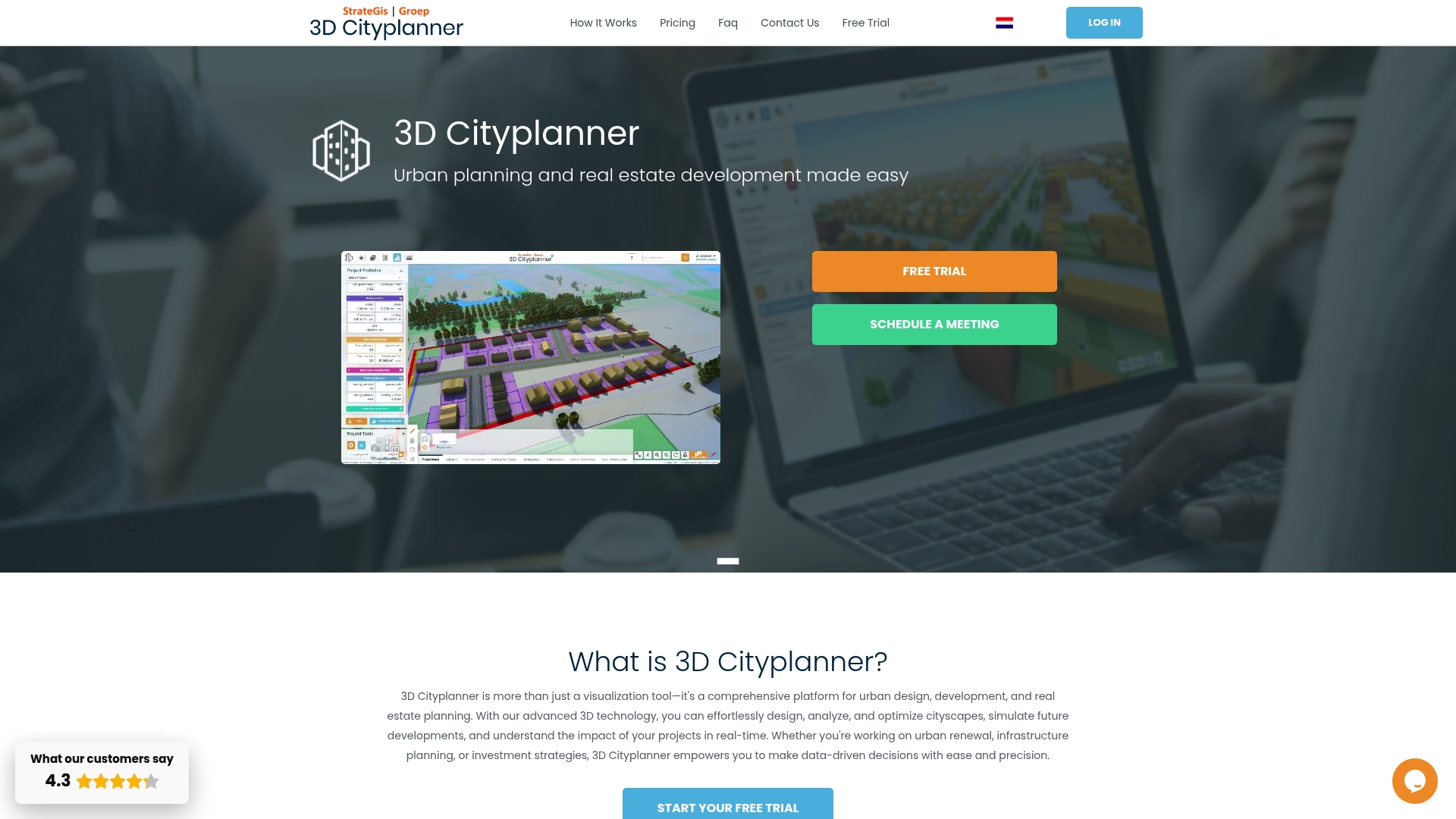
Discover how 3dcityplanner.com empowers you to meet these challenges head-on. Our digital platform offers cutting-edge tools tailored for professionals seeking to design, analyse, and optimise urban environments efficiently. Utilise features like automated building generation, dynamic 3D modelling, and integrated collaboration systems to streamline your workflow and elevate decision-making. Don’t wait to transform your urban projects with the latest innovations in city planning. Start your journey today by exploring our platform and unlock the full potential of your development strategies.
Frequently Asked Questions
What are the benefits of incorporating 3D visualisation in urban planning?
Implementing 3D visualisation enhances spatial understanding, improves stakeholder communication, and allows for more accurate environmental assessments. To take advantage of these benefits, consider integrating digital modelling tools into your planning processes to create detailed urban representations.
How can data-driven site analysis improve urban development projects?
Data-driven site analysis reveals hidden opportunities by integrating various data sources to inform decision-making. Begin by collecting baseline data and applying advanced geospatial mapping techniques to identify potential development zones that traditional methods might overlook.
What sustainable design principles should urban planners prioritise?
Urban planners should focus on minimising carbon footprints, maximising green infrastructure, and enhancing biodiversity. Ensure to conduct comprehensive environmental impact assessments and involve community stakeholders for a more effective and sustainable design process.
How can collaboration tools enhance stakeholder engagement in urban planning?
Collaborative digital platforms enable inclusive participation and facilitate transparent communication among various stakeholders. Select user-friendly tools and provide training to ensure all participants can effectively engage in the planning process.
What is real-time scenario modelling, and how does it benefit urban planners?
Real-time scenario modelling allows planners to simulate multiple development scenarios rapidly, minimising risks and supporting data-driven decisions. Adopt robust computational platforms and establish iterative evaluation protocols to leverage this technology effectively.
How can automated building generation improve architectural design processes?
Automated building generation accelerates prototype development, enhances design iterations, and improves environmental performance assessments. Start by investing in advanced computational infrastructure to optimise design workflows and maximise efficiency.


