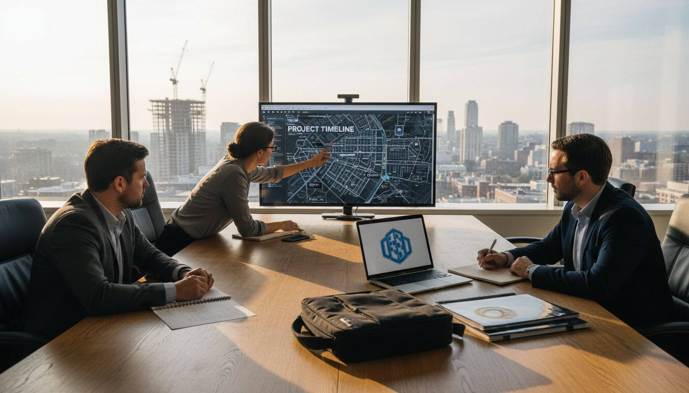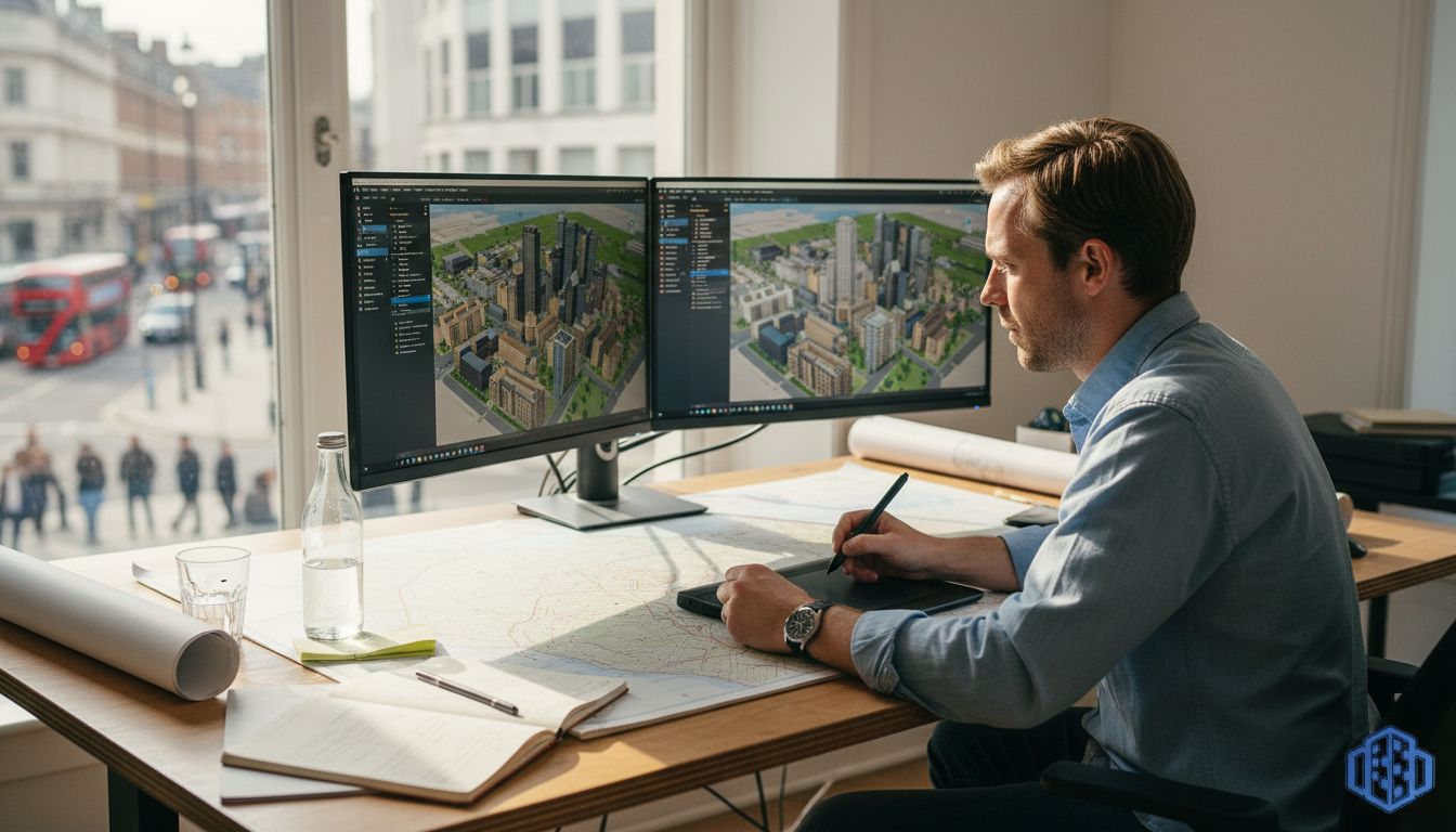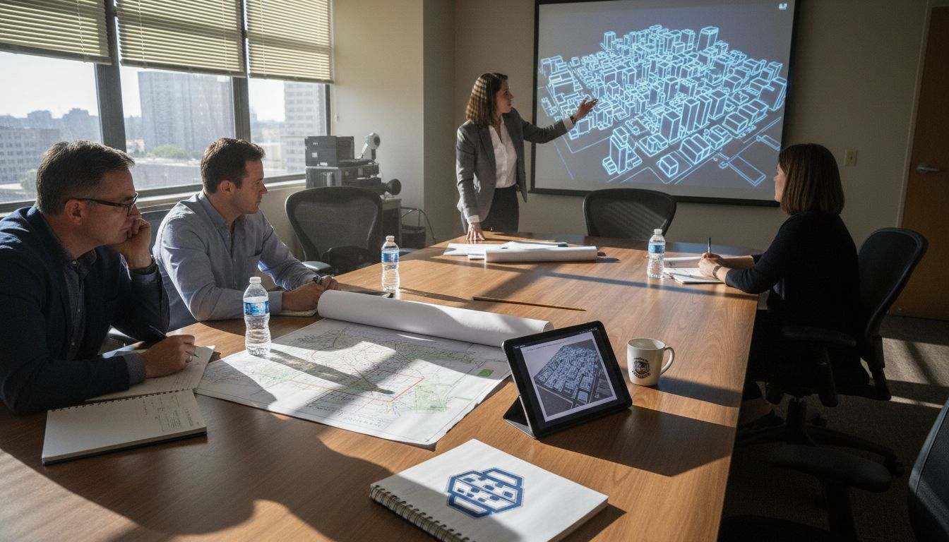
what is digital twin city
What is a digital twin city? A guide for urban planners
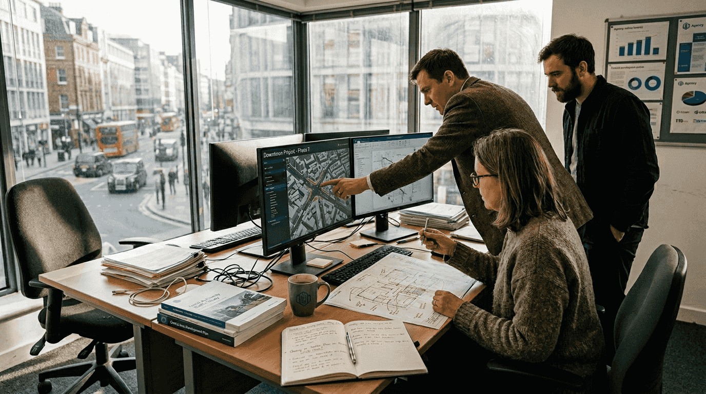
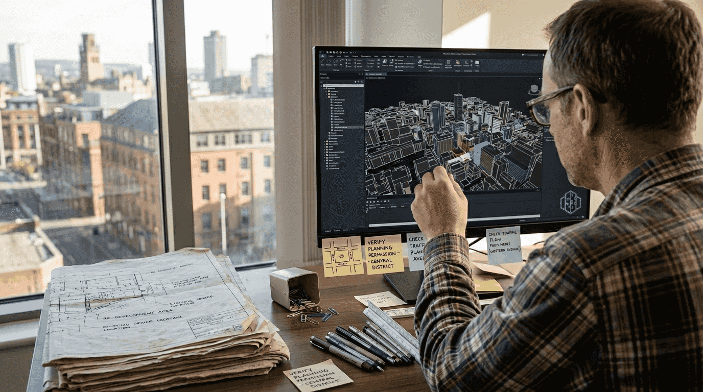
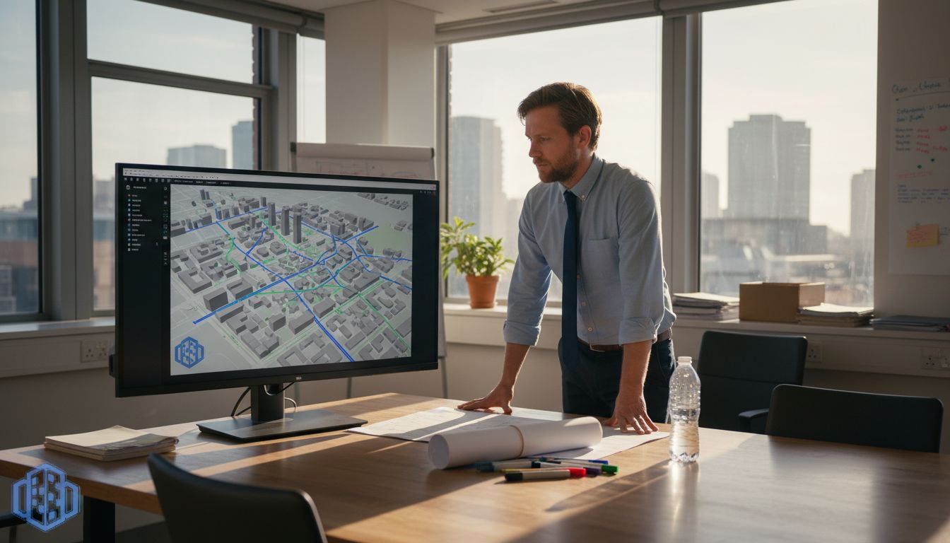
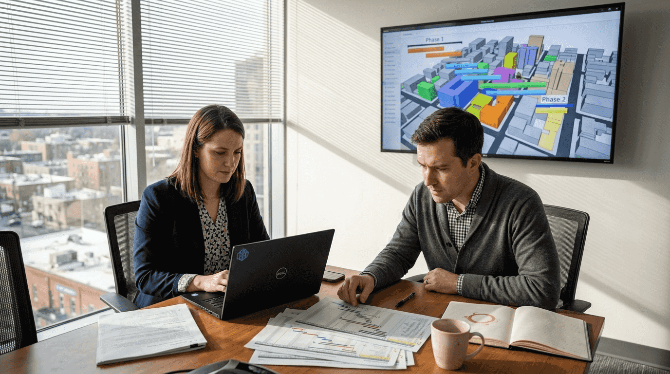
Many urban professionals mistakenly view digital twin cities as static 3D visualisations, but they are actually dynamic, real-time virtual counterparts that continuously update to mirror physical urban environments. This comprehensive guide explores the definitions, architectures, benefits, and real-world applications of digital twin cities, demonstrating how they transform urban